top of page


Case Study: 25 Acres of LiDAR Data Captured (and Delivered) in Under 48 Hours
Do you ever find yourself in a time crunch? When it comes to last-second client projects, it's easy for panic to begin to settle in. But,...
3 min read
914


3 Types of Contours — Which Option is Best for your Surveying Project?
Nearly every land surveying project needs updated, accurate contours. Whether you’re moving dirt, pouring concrete or measuring terrain.
2 min read
545


7 Drone Surveying & 3D Mapping Industry Predictions & Trends for 2023
As the use of drones continues to increase in the fields of surveying and mapping, there are a few key trends that we expect to see in 2023.
3 min read
824


Here's a Better Alternative for Processing DJI Zenmuse L1 LiDAR Data
As of January 1, 2023, Terrasolid software will no longer be free. Terrasolid will cost surveying professionals at least $1,500/year.
4 min read
2,954


Top 10 LiDAR Support Questions: Answered by the ROCK Support Team
Ever wonder what questions the ROCK Support Team answers most often? Take a look at our most asked questions.
2 min read
274


Breaking Down 20 Common LiDAR and Surveying Terms
Here's a glossary of 20 of the most helpful LiDAR and surveying terms you need to know if you're starting to create 3D models and maps.
3 min read
553

10 Reasons Why ROCK Cloud is the Best LiDAR Data Processing Software
We're living in very exciting times! LiDAR data is growing in popularity with the advent of handheld SLAM systems. Notably, the Leica...
7 min read
861

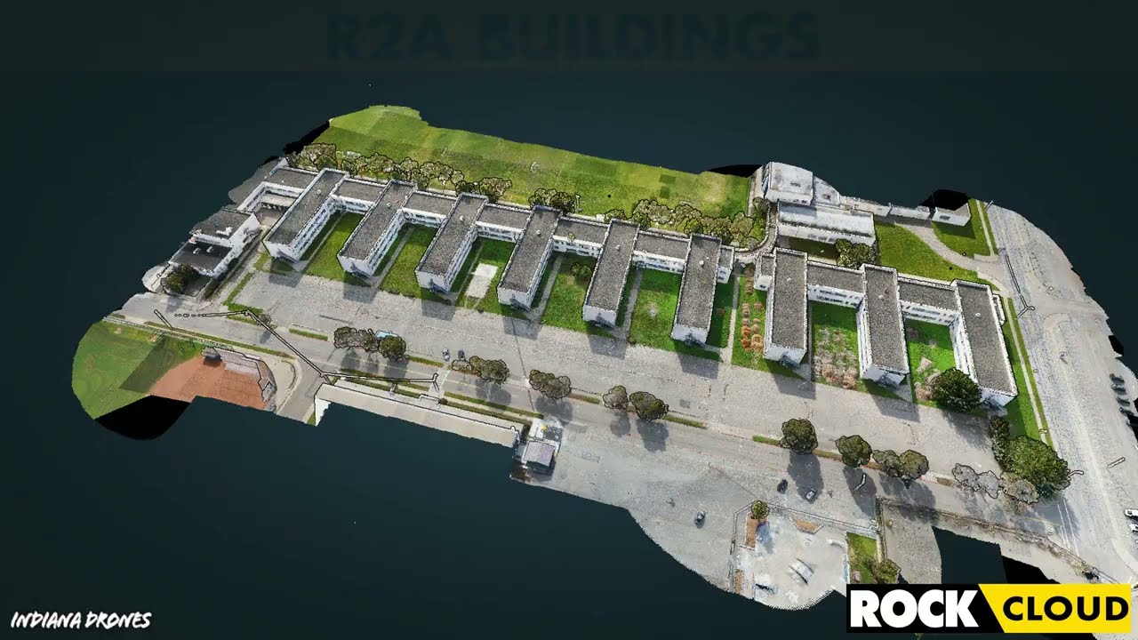
Featured Use Case: Surveying 750 Acres in Under 12 Hours with ROCK R2A LiDAR
At ROCK Robotic, we've been doing our best to spread the word that LiDAR is the game-changer in land surveying. Experienced drone pilot...
2 min read
413


How-To Improve DJI Zenmuse L1 Accuracy w/ Strip Alignment in ROCK Cloud LiDAR Processing Software
Introducing ROCK Strip Alignment — offered exclusively through the ROCK Cloud to help improve the accuracy of your DJI L1 LiDAR data.
3 min read
1,836


Get 1.65 cm Accuracy Results with the ROCK R2A Drone LiDAR & ROCK Cloud 3D Data Processing Software
ROCK Robotic's R2A LiDAR with the ROCK Cloud processing software can produce 1.65 cm accuracy! Bold statement, I know. So, let me break...
5 min read
3,382


Capturing Aerial Drone LiDAR & Photogrammetry in a Single Flight (Earthworks Demo)
This article will discuss the results from the R2A LiDAR + Photogrammetry solution, alongside the output deliverables from the ROCK Cloud.
3 min read
2,251


Improving Accuracy of DJI Zenmuse L1 with ROCK Cloud 3D LiDAR Data Processing Software
Aerial Drone LiDAR has never been more accessible. The new wave of LiDAR hardware spans a large price and quality range. In order to address
4 min read
3,757


Turn your LiDAR data into stunning animations using the ROCK Cloud.
It just keeps getting better! We absolutely love this new Drone LiDAR 3D Mapped dataset. Now you can easily export videos of your LiDAR...
1 min read
691


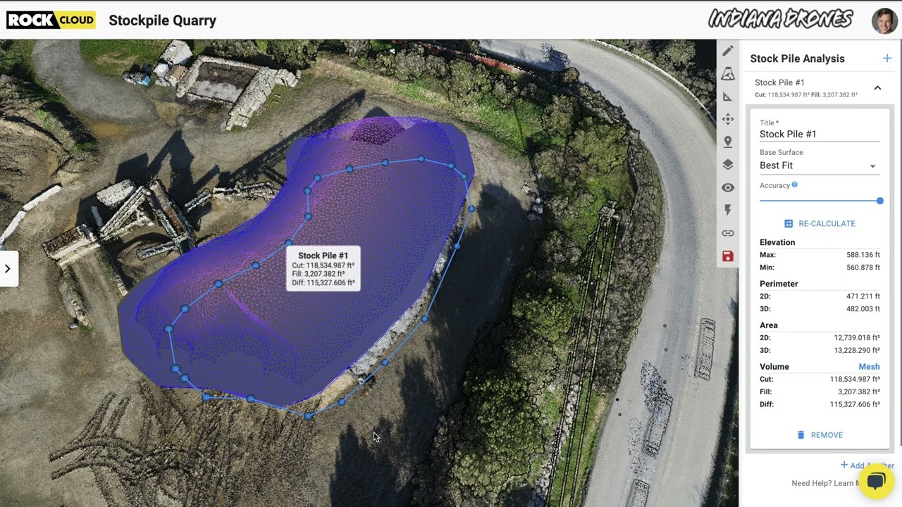
Easily calculate Volumetrics with the ROCK Cloud Stockpile Tool.
Good news... we have added a new feature to the ROCK Cloud! Now, you can quickly draw a polygon around an object to calculate the "Cut &...
1 min read
343
bottom of page