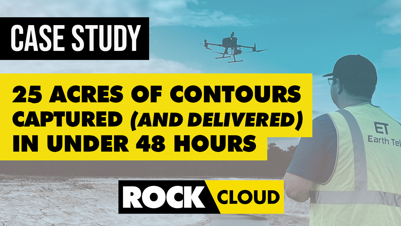
Case Study: 25 Acres of LiDAR Data Captured (and Delivered) in Under 48 Hours
Jan 03, 2023
Do you ever find yourself in a time crunch? When it comes to last-second client projects, it's easy for panic to begin to settle in. But, with a game plan, the right equipment and some quick data processing, you can get the job done!
PROJECT SNAPSHOT
- ROCK's Client: Earth Tek LLC
- **Earth Tek's Client: **Civil Sitework Contractor
- **Assignment: **The client needed new accurate contours of a 25-acre planned residential neighborhood project to determine how much dirt was left to get the site to final design elevations. The client asked Earth Tek to capture data over the weekend and needed the contours by Monday morning.
- **Result: **After capturing the LiDAR data on a Saturday, Earth Tek ordered expedited contours through ROCK Surveyor. Earth Tek’s client received the contour files, which allowed them to stay on track with the project.
CLIENT: EARTH TEK LLC IN MACCLENNY, FLORIDA
With years of both practical field experience and estimating and project management experience, the Earth Tek team uses their expertise to translate civil construction plans into accurate quantities and ultra-precise GPS machine control files.
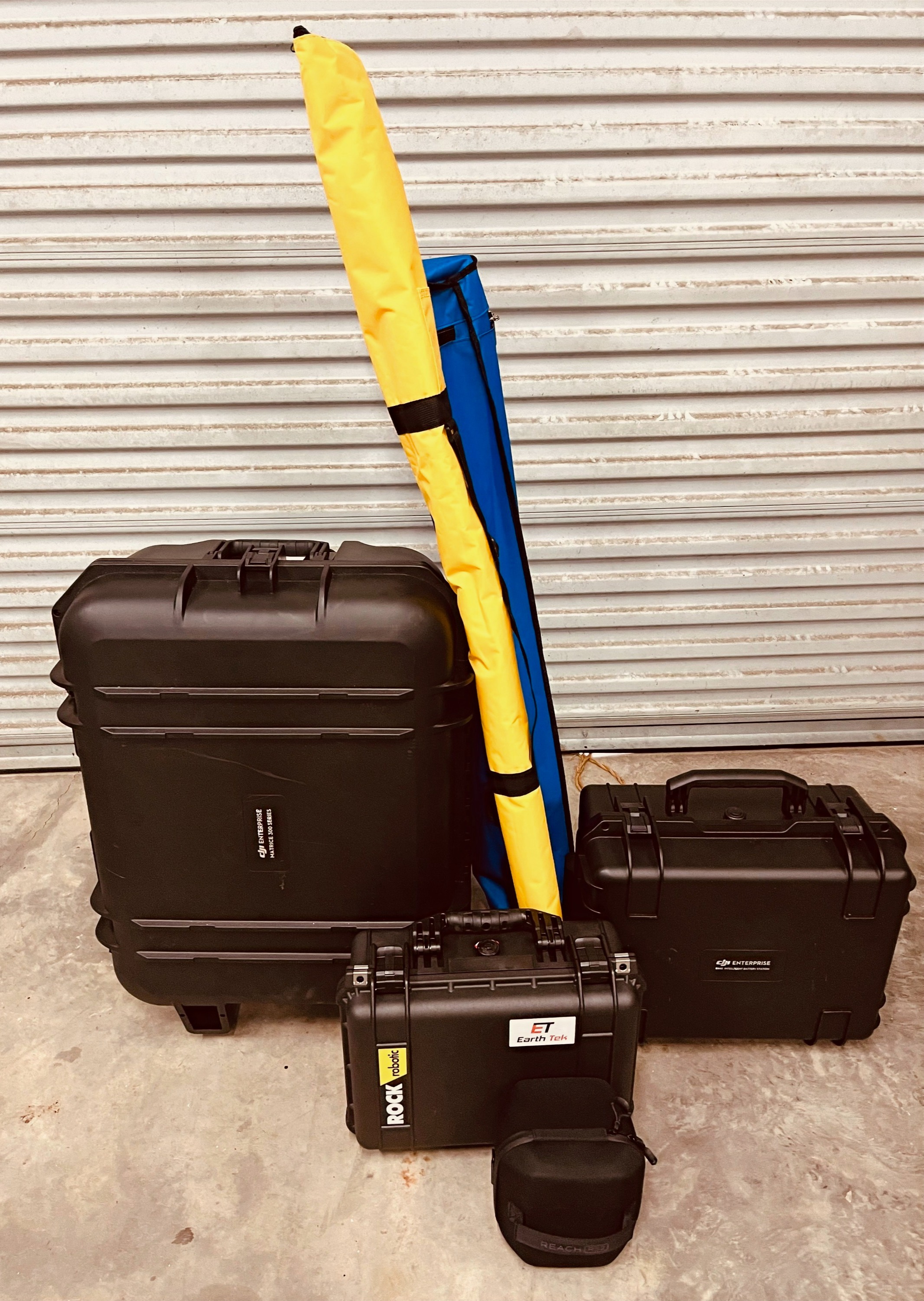
EQUIPMENT USED
Bill Cheatham, founder and owner of Earth Tek LLC, used a DJI M300 mounted with ROCK R2A LiDAR. He utilized an Emlid Reach RS2+ as his LiDAR base station. Cheatham used ROCK Cloud to process his data.
PROJECT BACKGROUND
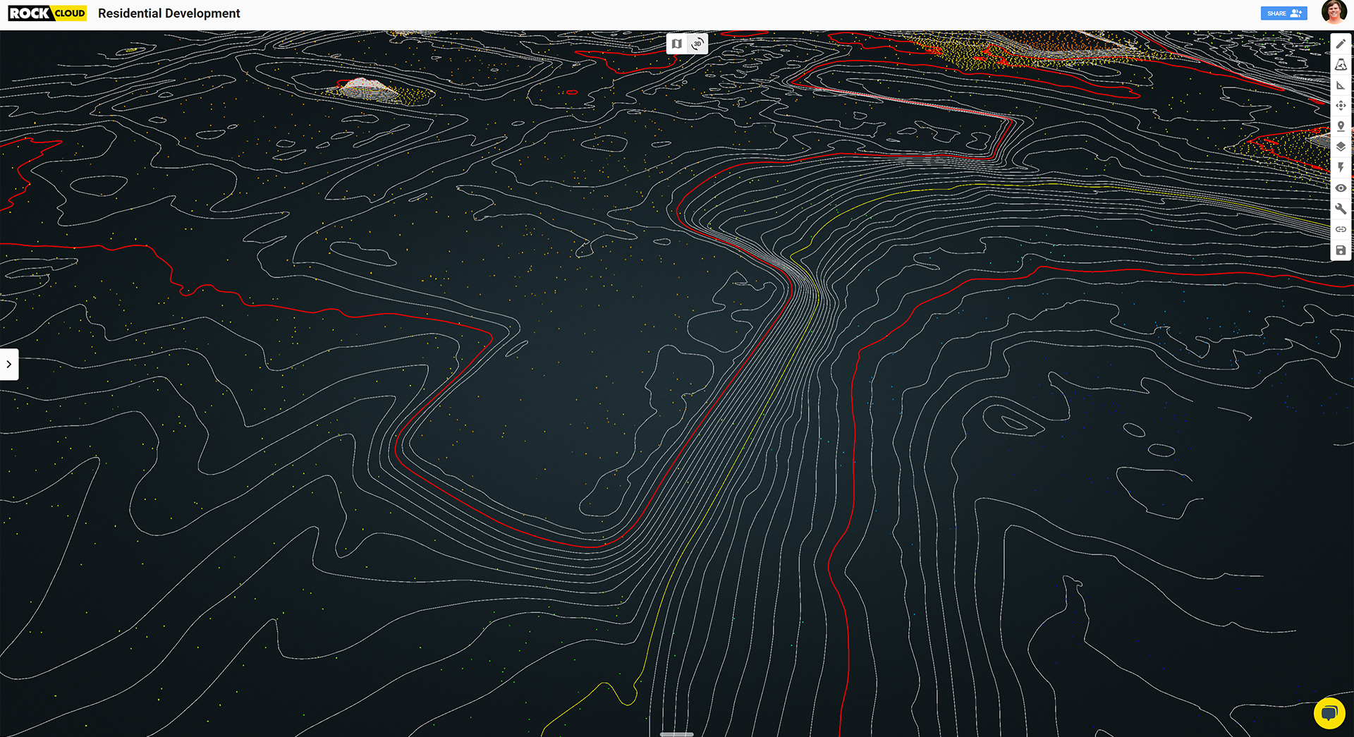
A civil sitework contractor needed an as-built analysis with an accurate cut/fill map to allow Earth Tek’s client to compare contour data between the existing-to-current and current-to-final data. This would confirm the amount of earth the client needed to move to level the 25-acre property.
The problem was that the contractor fell behind on the project. In fact, the project had come to a complete standstill, and the contractor needed new contours over the weekend. They priced out bringing in a crew of two surveyors, which was both time and cost-prohibitive. The client turned to Cheatham at Earth Tek to see if his LiDAR setup could get the job done accurately and on time.
SOLUTION
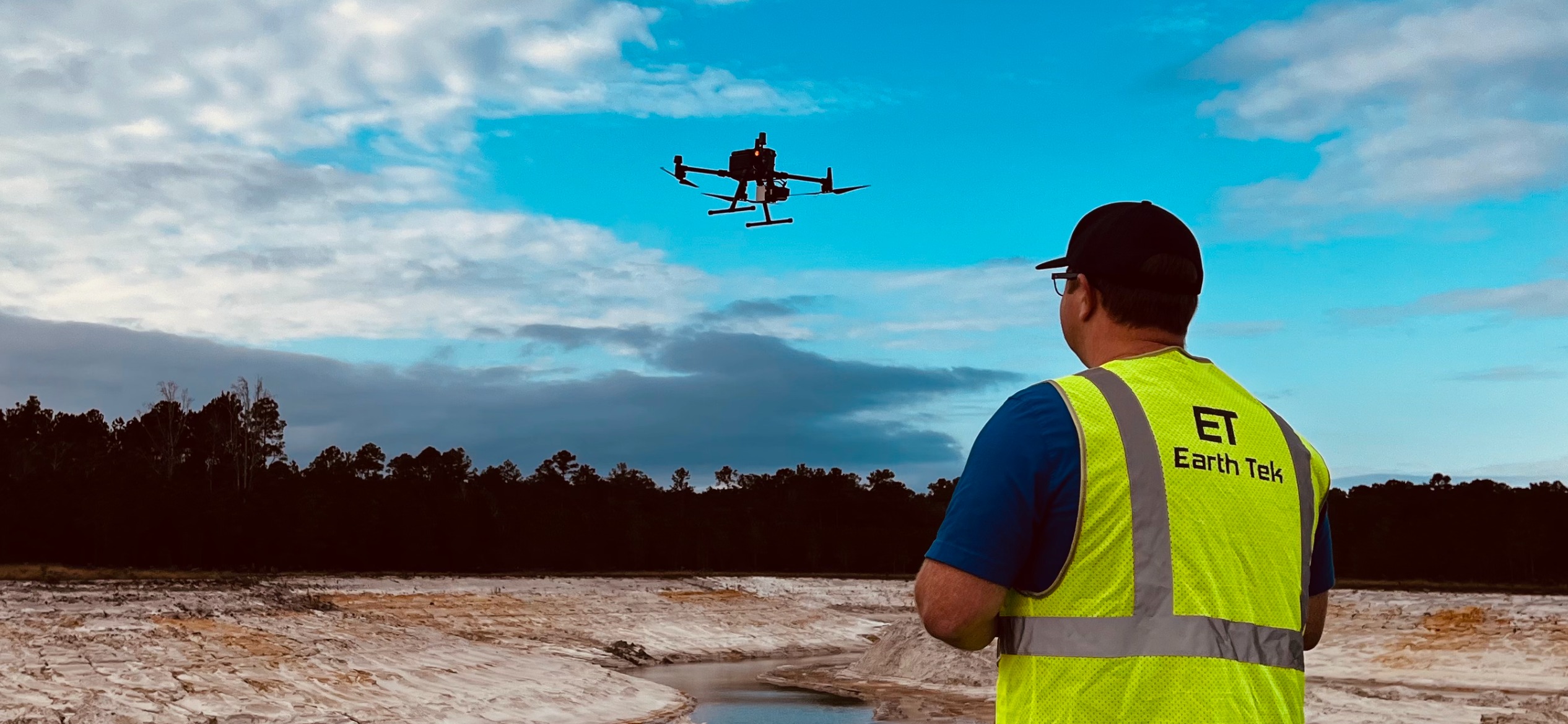
Using his ROCK R2A mounted to a DJI M300, Cheatham completed the full data capture process in 2.5 hours. According to Bill, the part that took the longest was locating benchmarks placed by the client.
When he got back to his office, Cheatham loaded the LAS files onto his computer and uploaded them into ROCK Cloud. He ordered expedited contours through ROCK Surveyor, which delivers in zero to one day.
Cheatham sent his client CAD files of the contours Monday morning. “They were definitely pleased that I really could pull it off that quickly,” he reported.
CONCLUSION
The civil sitework contractor was able to meet their deadline, which allowed them to continue work on the 20-acre neighborhood development. “I don't think they realized the precision of the data that could be returned in that short period of time,” Cheatham said.
Bill and the Earth Tek team continue to work as subcontractors for earthworks projects, which allows their clients to work more efficiently and within budget. By measuring accurate LiDAR contours, companies can create accurate bids and land more projects.
When it comes down to using the ROCK R2A along with ROCK Cloud’s accuracy and quick turnaround, Cheatham summed it up by saying, “Speed and accuracy. I mean, this is all about how quickly you can set up and how quickly you can fly. Not only that, but how quickly you can capture data. It just comes down to speed and accuracy.”
"It just comes down to speed and accuracy.” -Bill Cheatham, Owner, Earth Tek LLC
Cheatham solved an existing problem faster and better than a traditional surveyor would otherwise do. By capturing accurate contours in a short amount of time on no notice, Cheatham and Earth Tek saved the day for their client. Not all heroes wear capes, but some (like Cheatham) capture accurate LiDAR data with drones.