Here's a Better Alternative for Processing DJI Zenmuse L1 LiDAR Data
Nov 16, 2022
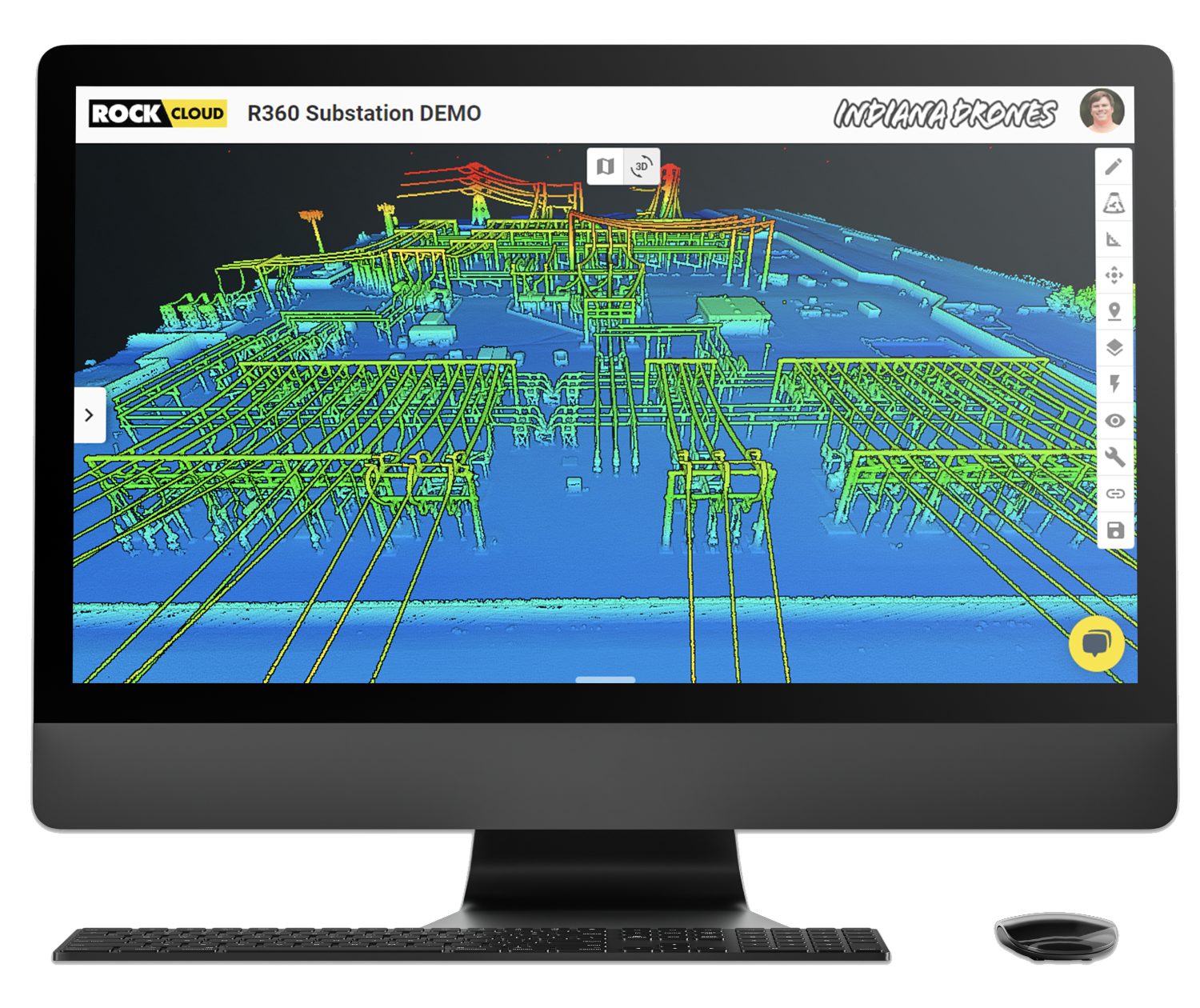
As of January 1, 2023, Terrasolid point cloud and image processing software will no longer be free. Terrasolid will cost surveying and mapping professionals at least $1,500 for an annual license. This cost is looming on the horizon for DJI Zenmuse L1 users. ROCK Cloud software is a turnkey solution for turning LiDAR data into professional deliverables — and does everything Terrasolid can plus more.
ROCK Cloud vs. Terrasolid Software
ROCK Cloud and Terrasolid LiDAR processing software certainly have some similarities: both give users high-quality deliverables. Both Terrasolid and ROCK Cloud create accurate maps from point clouds.
However, while Terrasolid and ROCK Cloud do offer some similar features, there are some major differences. In addition to offering more features,** ROCK Cloud does everything Terrasolid does — but faster, easier and more accurately.**
The True Cost of Terrasolid
Moving forward, Terrasolid will cost $1,500 (or more). This is based on the cost of an annual subscription to TerraScan UAV and TerraModeler UAV. In addition, DJI Terra Pro software will offer an annual subscription of $1,540 for one user (it has also been free up until this point). On top of that, using Terrasolid essentially requires a dedicated workstation with at least 16 GB RAM and at least 8 GB GPU memory.
To process your own deliverables on bigger jobs, your computer can be out-of-use for multiple days (or weeks). It adds up quickly — not just your money, but your time. With ROCK Cloud, you order your deliverables and everything processes in the background. This way you're able to continue using your computer to tackle other tasks.
ROCK Cloud Saves You Time & Money
First, ROCK Cloud does the LiDAR processing work for you. ROCK Cloud is like the smart kid in the group project who does all the work so you get an easy “A.”
When you order deliverables through ROCK Cloud, **you save time so you can service more clients and complete more projects. **When you process your data through ROCK Cloud, you can get L1 contours the day after you fly. “Overall, the time to process is pretty good. I love when I submit a dataset in the morning and already see the contours being generated in the afternoon,” offered L1 user Beau Cagle, founder of Texas-based Aerial Reconnaissance, LLC.
According to Nick Iversen, L1 pilot and founder of Drone Survey Costa Rica, “I've mainly used ROCK Surveyor to create contours. I’m very happy with the turnaround time; it's usually anywhere from one to three days depending on the size and complexity of the project.” In addition to time savings, ROCK Cloud offers quality assurance. **Each project goes through the A.I. engine and is then verified by a ROCK Robotic GIS Specialist before it's approved. **
ROCK Makes Your Data More Accurate: Strip Alignment Feature
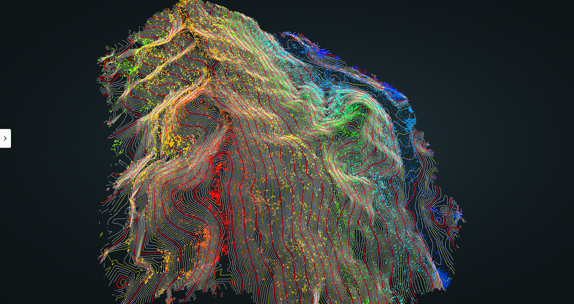
ROCK Cloud offers Strip Alignment for your L1 data. Strip Alignment corrects errors in the trajectory used to produce a 3D point cloud from a LiDAR mapping system. ROCK Strip Alignment takes your uploaded LAS file, along with the trajectory (produced by DJI Terra) and analyzes the point cloud to produce a new optimized (Strip Aligned) point cloud. Because of this, **your data deliverables are more accurate and less noisy, making your clients happier. **Terrasolid offers strip alignment as an add-on product called TerraMatch, which is an additional $950 per year.
Responsive Support from Actual Humans
Additionally, and maybe most importantly, ROCK Cloud’s onboarding, training and support are second to none. With other LiDAR processing software, you send an email and hope to hear back in a few days (internally screaming). ROCK offers real-time live support on your dataset.
ROCK provides quality assurance from a living, breathing human versed in LiDAR processing and deliverables! Someone on our team looks at every deliverable before sending it along to our customers. If there are issues with your project, we’ll work with you to fix them.
Insanely Practical Deliverables
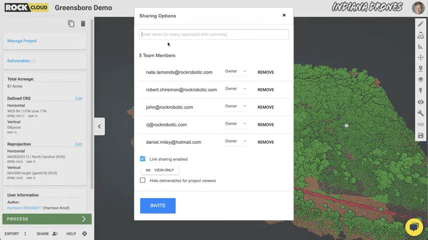
The ROCK team knows what your clients want. As a result, we can help direct you to order the deliverables you need for your project. After you get your deliverables, you can easily share them with your clients, an option that isn’t available with Terrasolid software (boom roasted). “Our favorite part is the hosted view of the LiDAR that you can share with clients easily — they love to see it,” reported Nick Iversen of Drone Survey Costa Rica.
Total Game Changer for L1 Users
The bottom line?** ROCK Cloud offers unique deliverables, better accuracy, saves time and provides top-notch support for DJI Zenmuse L1 pilots.** Beau Cagle summed his experience with ROCK Cloud this way: “All in all, ROCK Cloud has helped tremendously with just taking the processing load off of us and that makes us satisfied.” Nick Iversen’s conclusions are even more to the point, as he noted, “ROCK Cloud just makes it easy.”
Exclusive Trial Offer
As the cost of Terrasolid is increasing from “free” to (at least) $1,500 per year in January, we invite you to **sign up for a free 14-day trial of ROCK Cloud. **Now is the time to switch to ROCK Cloud so you can experience the difference for yourself. Don't wait.
Visit rockrobotic.com to learn more
about our products and services.