7 Drone Surveying & 3D Mapping Industry Predictions & Trends for 2023
Dec 19, 2022
As the use of drones continues to increase in the fields of surveying and 3D mapping, there are a few key trends that we expect to see in 2023. Our team of LiDAR experts expects to see advances in not only drone and LiDAR hardware, but in software to support them as well. Here are seven trends to be on the lookout for in the next year.

1. More widespread adoption
As drone and LiDAR technology becomes more accessible and cost-effective, we expect to see more professionals in a variety of industries turning to drones for their surveying and mapping needs. There is no shortage of money to be made and saved by using LiDAR for surveying and construction projects, and traditional firms are increasingly adopting the new technology and software.

2. Improved accuracy and precision
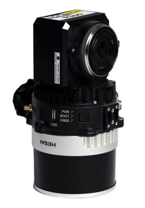
Advances in UAV technology, sensors, and data processing are making it possible to generate highly accurate and precise 3D maps. This is particularly important for industries such as construction, where even small errors can have significant consequences. In 2022, ROCK released the R360 LiDAR system, and we plan to continue to iterate and innovate our technology in 2023.
3. Enhanced collaboration
As the use of drones becomes more common, we expect to see increased collaboration between different professionals, such as surveyors, engineers, municipalities, departments of transportation (DOTs) and architects. This will allow for more efficient and effective data collection and analysis. For freelance and contract DSPs (Drone Service Providers), expect to find more surveying and construction firms who are open to testing the LiDAR waters.
4. The rise of drone-based inspections in the energy sector
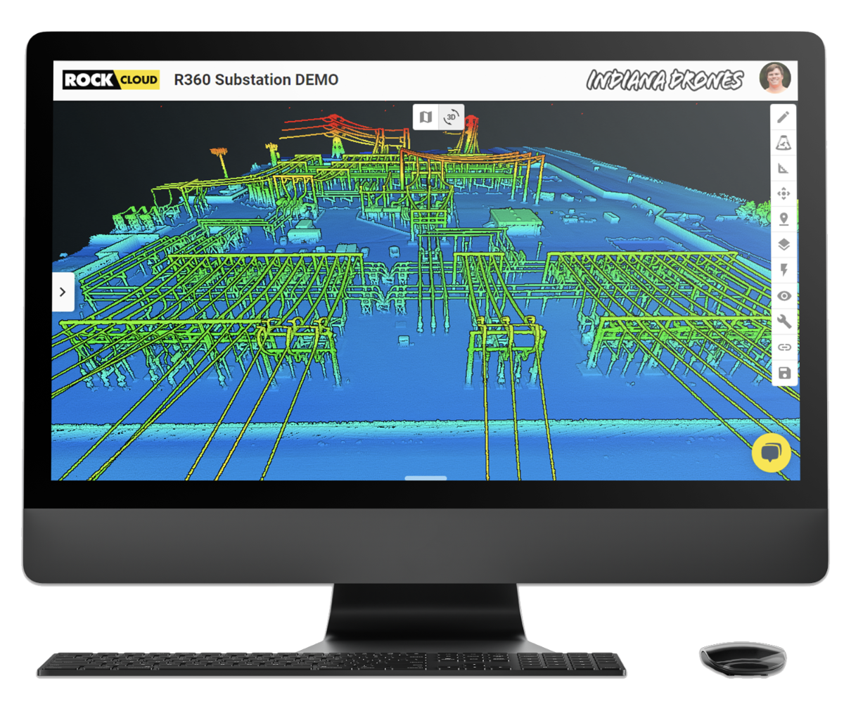
Drones are being used to inspect wind turbines, solar panels, power lines and other energy infrastructure, reducing the need for human workers to climb and access dangerous, difficult-to-reach areas. LiDAR sensors combined with powerful cameras can create a hyper-accurate snapshot of the status of these infrastructure components.

5. More sophisticated data analysis
As the amount of data generated by drones continues to grow, we expect to see the development of more sophisticated tools and techniques for analyzing and interpreting that data. This will help professionals gain valuable insights and make better-informed decisions. At ROCK Robotic, we are constantly adding features and improvements to our ROCK Cloud processing software, and aim to make it easy to use for people just starting out as well as seasoned surveying professionals.
6. Greater focus on automation
To make the most of the data generated by drones, we expect to see more emphasis on automation and machine learning. This will allow for more efficient and accurate data processing, as well as the ability to handle larger volumes of data. We expect to see more AI-driven flight planning technology emerge to aid in precision point cloud data capturing.
7. Ongoing innovation
The field of drone surveying and 3D mapping is constantly evolving, and we expect to see many exciting developments in 2023. This could include everything from new drone designs and capabilities to the introduction of entirely new applications for the technology.
Overall, we expect to see many exciting developments in the field of drone surveying and 3D mapping in 2023. As the technology continues to improve and become more widely adopted, it will have a profound impact on a variety of industries, helping professionals to collect, analyze, and interpret data more effectively than ever before.