How-To Perform Calibration Flight for ROCK R3 Pro, R360, & R2A
In this informative guide, we'll walk you through the step-by-step process to ensure precise and accurate data collection every time.


How-To Perform Calibration Flight for ROCK R3 Pro, R360, & R2A


Case Study: Using ROCK LiDAR to Inspect Power Lines Across California


Drones Are Going to Take Our Jobs: Dispelling Myths About UAVs in the Surveying Industry


Case Study: Drone Services Provider Navigates a 2,500-Acre Gold Mine Site in Fiji with ROCK LiDAR


Case Study: Construction Company Saves $300k by Updating Contours with ROCK Cloud


Case Study: 25 Acres of LiDAR Data Captured (and Delivered) in Under 48 Hours

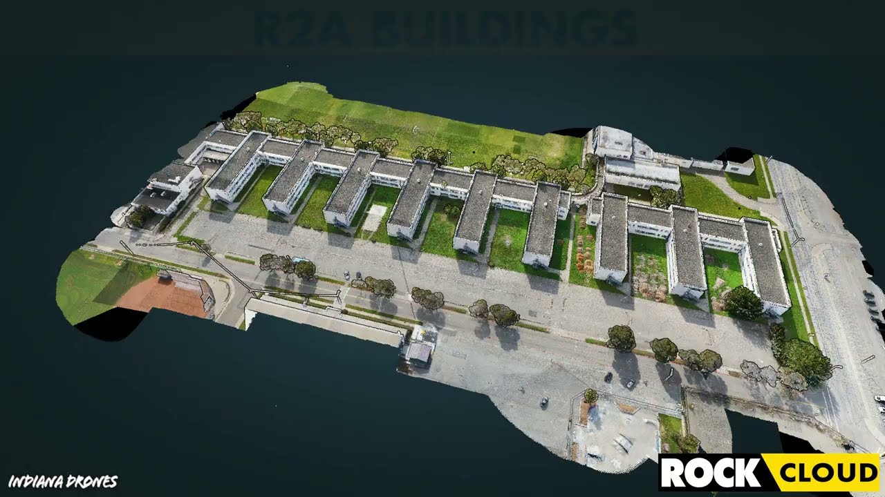
Featured Use Case: Surveying 750 Acres in Under 12 Hours with ROCK R2A LiDAR


IRS Section 179 Changes Coming: Why You Should Invest in LiDAR Equipment by the End of 2022


Capturing Aerial Drone LiDAR & Photogrammetry in a Single Flight (Earthworks Demo)


Improving Accuracy of DJI Zenmuse L1 with ROCK Cloud 3D LiDAR Data Processing Software
Turn your LiDAR data into stunning animations using the ROCK Cloud.
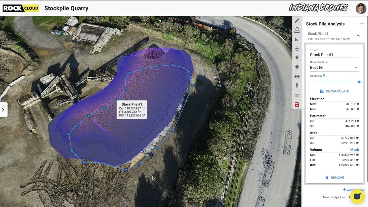
Easily calculate Volumetrics with the ROCK Cloud Stockpile Tool.