Major Benefits of Using LiDAR Surveying for Transportation Departments
Feb 13, 2023
Transportation departments have a big job on their hands — they're in charge of keeping our roads, bridges, and other infrastructure in good shape. Capturing accurate data is key to ensuring everything is running smoothly. And while traditional surveying methods have worked in the past, the advent of commercially available LiDAR scanners is shaking things up and offering some major benefits.
So, what's so great about LiDAR surveying for a department of transportation (DOT)? Let's take a closer look.
Speed and Efficiency
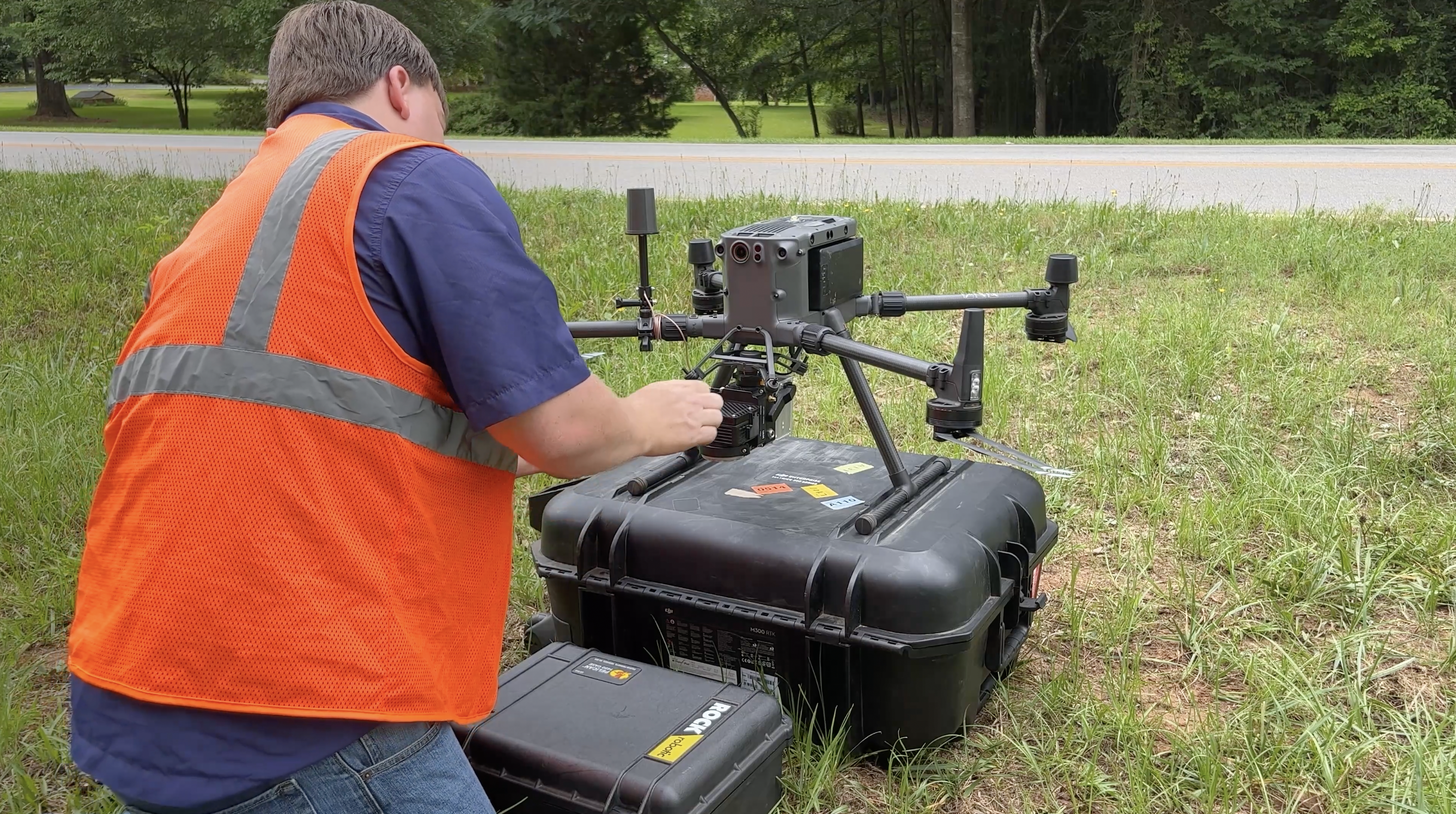
LiDAR sensors like the ROCK R360 can collect data in a fraction of the time it would take with traditional methods. This means that transportation departments can quickly assess their infrastructure, plan repairs, and respond to any issues without causing significant disruptions to traffic. It's a win-win situation — they get the information they need faster, and drivers don't have to deal with lengthy road closures. Combine powerful LiDAR hardware with robust post-processing software like ROCK Cloud, and you can spend more time on high-priority projects.
Accuracy
LiDAR scanners can capture high-resolution images and robust point cloud data. This level of detail can help transportation departments identify problems that traditional surveying might not cover in a normal work order. By catching these issues early, they can address them before they become major headaches.
Cost-Effectiveness
LiDAR surveying can save any DOT a lot of money. Departments can allocate their resources toward higher-priority projects by reducing the need for additional labor. And because drones equipped with LiDAR can quickly cover a lot of ground, they can also reduce the overall cost of surveying.
Flexibility & Adaptability
LiDAR surveying has a wide range of applications in the transportation world. In addition to surveying roads and bridges, survey crews with LiDAR-equipped drones can inspect construction sites, monitor traffic flow, and assess damage from natural disasters. The versatility of drone LiDAR surveying is a major advantage for transportation departments looking to improve their infrastructure.
Power Line Inspections
Another area where drone LiDAR surveying can be a game-changer is in power line inspections. Transportation departments are often responsible for maintaining power lines, but inspecting them can be dangerous and time-consuming. LiDAR-equipped drones can quickly and safely inspect power lines, looking for issues such as broken cables, damaged poles, and other potential problems.
LiDAR sensors can capture hard-to-reach geospatial data, providing a detailed view of the power lines that would be difficult to obtain through traditional inspections. Using LiDAR-equipped drones for power line inspections, transportation departments can keep our power grids running smoothly while keeping workers out of harm's way.
Safety
Traditional surveying can be dangerous, requiring workers to be in difficult or hazardous areas. But with drone surveying, there's no need for workers to be in these areas. This keeps everyone safe and reduces the risk of accidents or injuries. Plus, drone surveying minimizes disruptions to traffic flow. Who doesn’t like fewer traffic jams?
LiDAR surveying offers many benefits over traditional surveying in DOTs. As technology advances, the future of drone LiDAR surveying in the transportation industry looks bright. So, buckle up and enjoy the ride!
Visit rockrobotic.com to learn more about our survey-grade LiDAR hardware and processing software.