Navigating Waters & 3D Data: Mobile Mapping on a Boat with the ROCK R3 Pro LiDAR
LiDAR Mobile Mapping on a Boat with the ROCK R3 Pro


Navigating Waters & 3D Data: Mobile Mapping on a Boat with the ROCK R3 Pro LiDAR


Easily convert LAS to LAZ and view your point cloud in the field with ROCK Desktop (Free Download!)


Case Study: Using ROCK LiDAR to Inspect Power Lines Across California


Case Study: Drone Services Provider Navigates a 2,500-Acre Gold Mine Site in Fiji with ROCK LiDAR


GCP Best Practices for Aerial Surveying Projects


Case Study: Construction Company Saves $300k by Updating Contours with ROCK Cloud


3 Types of Contours — Which Option is Best for your Surveying Project?


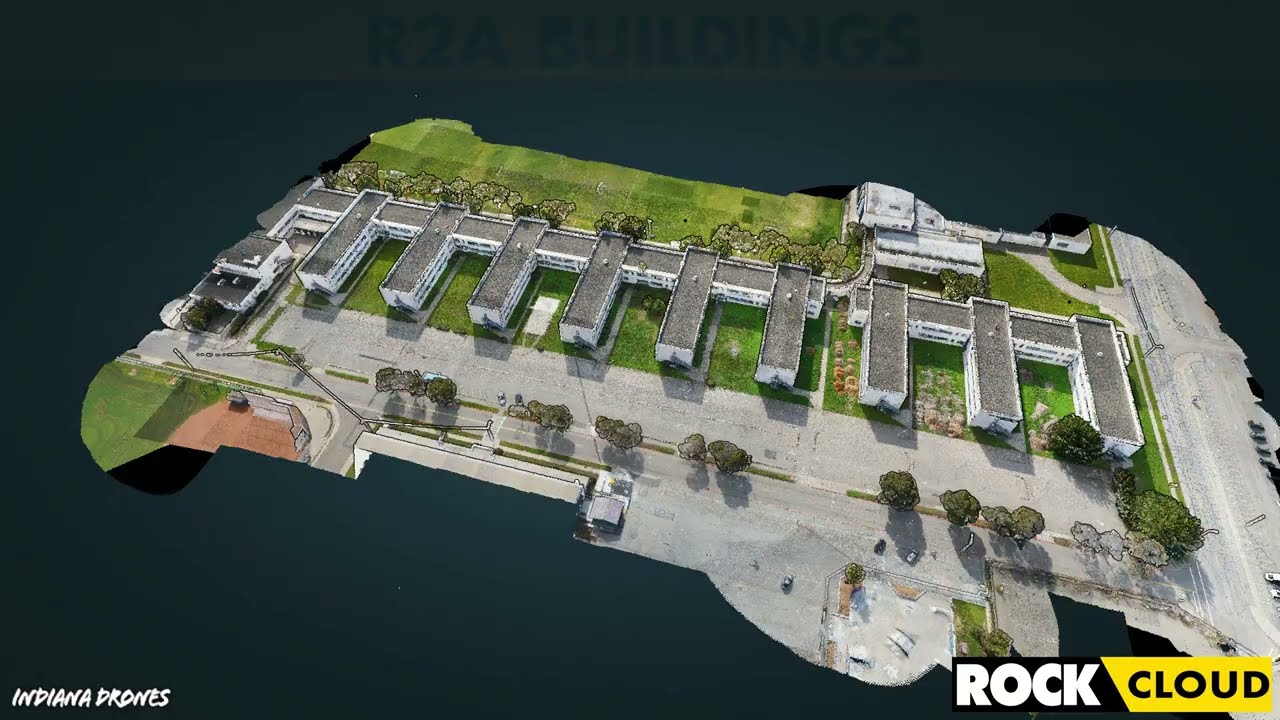
Get 1.65 cm Accuracy Results with the ROCK R2A Drone LiDAR & ROCK Cloud 3D Data Processing Software


Improving Accuracy of DJI Zenmuse L1 with ROCK Cloud 3D LiDAR Data Processing Software
Turn your LiDAR data into stunning animations using the ROCK Cloud.


Four Crews? Four Weeks? Forget that! ROCK can help get the job done in one day.