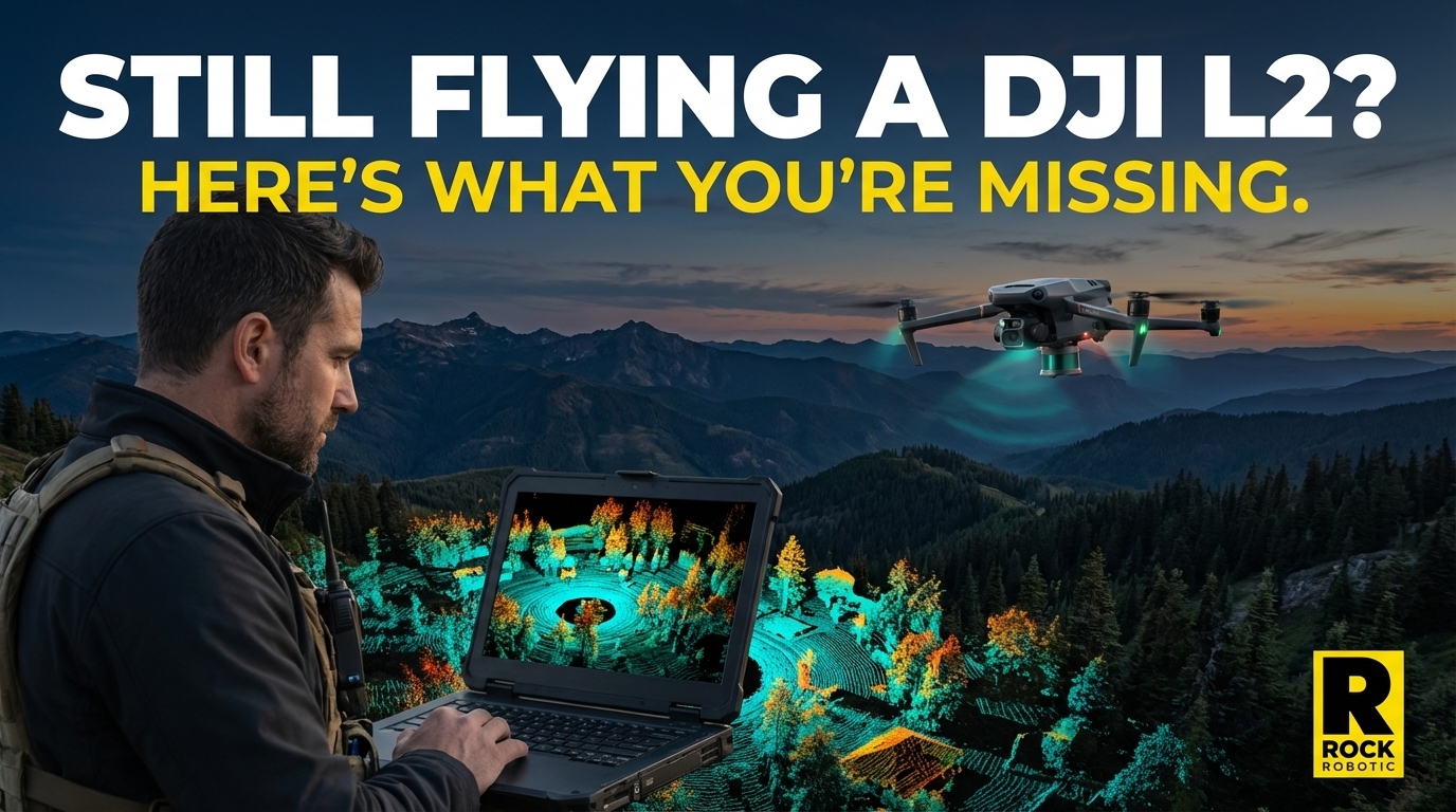
Still Flying a DJI L2? Here's What You're Missing.
Apr 01, 2026
The DJI Zenmuse L2 deserves credit. When it launched in late 2023, it brought sub-$15K drone LiDAR to a market that previously required $50K+ investments. It got thousands of survey professionals their first taste of aerial LiDAR, and it showed what was possible.
But "possible" and "profitable at scale" are different things.
If you've been flying an L2 for a while and you're starting to notice its limitations — jobs you can't bid, data that needs too much cleanup, projects your clients are taking to competitors — this is for you.
Here's the honest comparison between what the L2 gives you and what the ROCK R3 Pro V2 opens up.
The Spec Gap Is Bigger Than You Think
Let's start with raw numbers, because the gap is genuinely significant.
| DJI Zenmuse L2 | ROCK R3 Pro V2 | |
|---|---|---|
| Laser | Livox L2 (custom DJI) | Hesai XT32 (32-channel) |
| Wavelength | 905 nm | 905 nm |
| Point Rate | 240,000 pts/s | 1,280,000 pts/s (dual return) |
| Returns | Up to 5 | 2 returns (32 channels simultaneous) |
| Range Precision | ~5–8 cm | 5 mm |
| Absolute Accuracy | ~5–8 cm vertical | 2–3 cm vertical |
| Camera | 4/3 CMOS (20 MP equiv.) | 26 MP |
| Weight | 0.90 kg | 1.26 kg |
| Platform | M300/M350 only | M300/M350, Astro, IF800, vehicle, handheld |
| SLAM / Indoor | No | Yes (SLAM Dock V2) |
The point rate gap alone is the story: 1,280,000 vs 240,000. The R3 Pro V2 generates more than 5× the point density of the L2 in the same flight time. For clients who need to see fine detail — roof edges, curb lines, vegetation structure, utility infrastructure — this is the difference between deliverable and not deliverable.
The precision gap is even more significant for survey-grade work. At 5 mm range precision versus the L2's 5-8 cm, the R3 Pro V2 is measuring at an order of magnitude better accuracy. For ALTA surveys, subdivision boundary work, or any project where your data needs to close to survey-grade tolerances, this matters in ways that spec sheets undersell.
The Sensor Trust Question
There's something else worth knowing about the R3 Pro V2's sensor that the L2 can't match: the Hesai XT32 is an industry-trusted 32-channel scanner used by GeoCue in the TrueView series, YellowScan in the Surveyor Ultra, and GreenValley in the LiAir X3C-H.
When you tell a client "we use a Hesai XT32," that's a sensor with a track record across dozens of manufacturers and thousands of deployments. When DJI says their Livox-pattern scanner achieves comparable results, you're trusting a proprietary design with no independent ecosystem.
For clients who have procurement requirements or want to understand the sensor tech behind their data, this distinction matters.
Three Revenue Streams vs. One
Here's the most important difference, and it's the one the spec sheets won't show you.
The DJI L2 is a drone-only sensor. It flies on the M350. That's it. Every job you take must be flyable by drone, from an accessible location, in VFR conditions. Anything that doesn't fit that profile — you pass on it or subcontract it.
The ROCK R3 Pro V2 does three things:
1. Aerial mapping — Same as the L2, but with better data. Mount it on your M350, Freefly Astro, or IF800, and fly your survey projects.
2. Mobile mapping — Mount it on the ROCK Mobile Mount on your truck and drive highway corridors, road inventories, or access-restricted sites. No drone needed. No FAA airspace. No weather dependency.
3. Indoor / GPS-denied scanning — Attach the ROCK SLAM Dock V2 and carry it through buildings, tunnels, parking structures, or any environment where GPS doesn't work. Same sensor, same processing pipeline, completely different use case.
How many jobs have you turned down in the last year because they needed indoor scanning or mobile mapping? With the R3 Pro V2, those projects are yours.
Firms that add mobile mapping to their aerial LiDAR service often find that corridor and infrastructure work becomes a significant percentage of their revenue — precisely because it's harder to do and fewer competitors can handle it.
NDAA: Growing Your Government Addressable Market
The L2 runs on the M350, a Chinese-manufactured drone. It's not NDAA compliant. For US government contracts, state DOTs, utilities, and federal land surveys, the L2 + M350 combination is increasingly on the excluded list.
The R3 Pro V2, mounted on the Freefly Astro or Inspired Flight IF800, is fully NDAA compliant. You can bid those contracts today.
As NDAA requirements spread from federal contracts to state and municipal work, the platforms you fly on become a competitive differentiator. Building your business on an NDAA-capable sensor means you're not locked out of the fastest-growing segment of the government survey market.
ROCK Cloud vs. DJI Terra: What Processing Actually Costs
DJI Terra is free to use for basic processing. That's its most attractive feature. But "free processing" doesn't mean "free to deliver."
When you export a point cloud from DJI Terra, you still need to:
- Manually classify ground points from vegetation and buildings
- Strip-align your data if you flew multiple passes
- Extract features for planimetric work
- Draft everything in CAD for the final deliverable
For a typical survey project, that's 20-40+ hours of skilled technical labor per project, depending on complexity.
ROCK Cloud automates the ground classification, strip alignment, and colorization. ROCK Pro Services takes it further — a team of licensed surveyors delivers CAD-ready planimetrics with a 3-5 day turnaround.
The math often looks like this: a firm processing in DJI Terra pays their CAD tech 30 hours at $40-60/hour = $1,200-$1,800 in labor per project. ROCK Pro Services at a fraction of that labor cost, with faster turnaround, and the CAD work done by licensed surveyors who do this every day.
"Free processing" that requires 30 hours of labor isn't free. The real cost of ownership includes the hours between flight and deliverable.
What the Renewal Cost Myth Gets Wrong
You may have heard that ROCK has expensive annual fees. Let's put actual numbers next to the DJI comparison:
ROCK R3 Pro V2:
- Hardware: you own it outright
- ROCK Desktop: annual renewal required for processing
- ROCK Cloud + Pro Services: completely optional, pay for what you use
DJI:
- DJI Terra Pro annual maintenance: $440/year (permanent license)
- DJI Terra Pro subscription: $999+/year
- DJI Terra + Modify bundle: $2,040/year
- Professional deliverables: not available at any price
Every manufacturer has annual software costs. ROCK's three-pillar model (hardware, desktop, cloud) lets you use only what you need. You're not locked into paying for cloud processing if you want to stay in-house.
Real Projects, Real Numbers
PilotByte (Dylan Gorman) mapped a 133-acre highway interchange in 30 minutes with the R3 Pro V2. Survey-grade data, single flight, client-ready point cloud.
D.C. Johnson & Associates used ROCK LiDAR to transform their survey business model — faster project turnaround, higher margin deliverables, expanded project types.
Sunrise Engineering used ROCK systems for post-wildfire Provo mudslide mapping — a project type where drone accessibility and rapid data capture made a mission that would otherwise be dangerous or impossible for ground crews entirely manageable from the air.
Is the L2 Still Worth Running?
Yes — if you're doing occasional aerial surveys, your clients don't need sub-5 cm accuracy, and you're not pursuing government contracts. The L2 is a capable entry-level tool.
But if you're building a survey business — if you want to grow revenue, expand project types, win government work, and stop competing on price with every other operator who bought an entry-level sensor — then the question isn't whether to upgrade. It's how soon.
The R3 Pro V2 isn't just a better sensor. It's a platform that opens three revenue streams, plugs into NDAA-compliant airframes, and connects to an ecosystem that takes you from field to CAD-ready deliverable without hiring a full-time processing team.