The Ultimate Versatile LiDAR Workhorse.
Double the density. Double the channels. Same unmatched versatility. The R3 Pro V2 delivers professional-grade results whether flying, driving, or walking—with 1.28M points per second.
Experience the ROCK R3 Pro V2 in 3D
Explore the professional-grade design with double the laser channels
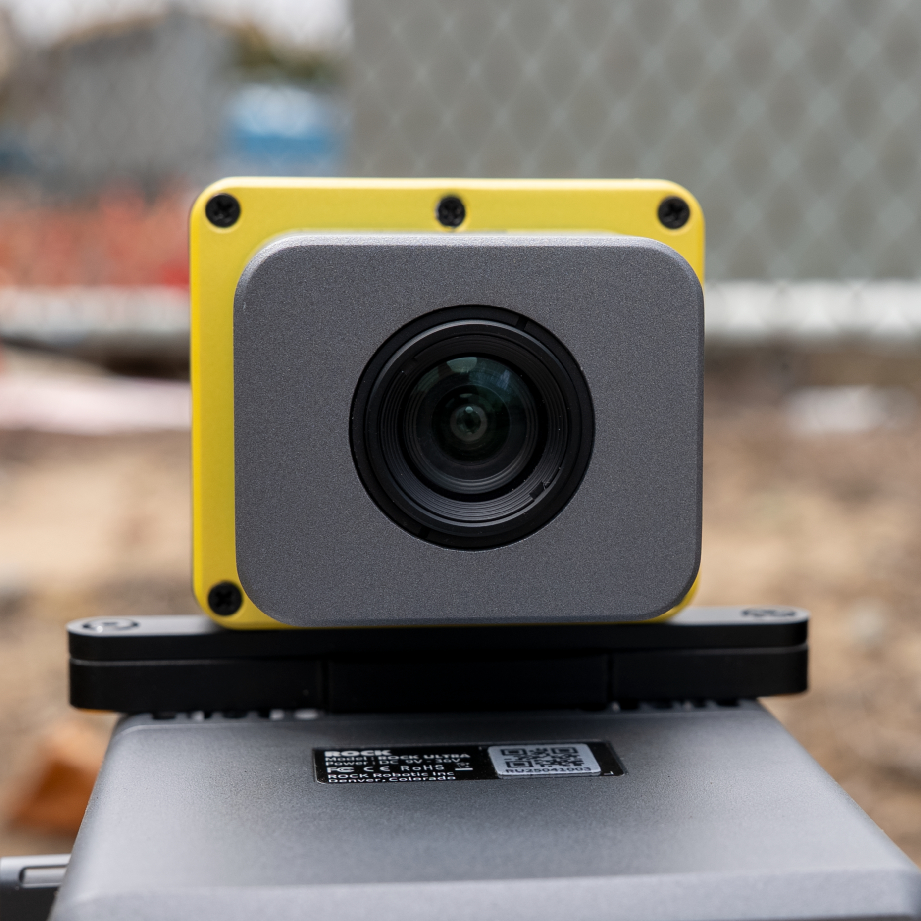
32 Channels
Hesai XT32
2x Density
vs. R3 Standard
SLAM Ready
GPS-denied capable
2-3 cm
Post-Processed Accuracy
1.28M
Points/sec
360°
Field of View
1.26 kg
Weight w/ Camera
32
Laser Channels
5 mm
Range Precision
Fly: Maximum Density Aerial Mapping.
With 32 laser channels delivering 1.28M points per second, the R3 Pro V2 captures exceptional detail even at 60m AGL. The doubled point density means better vegetation penetration, cleaner bare earth models, and more accurate feature extraction. Perfect for demanding survey projects, dense urban environments, and detailed infrastructure inspections.
Drive: Professional Mobile Mapping.
Transform your vehicle into a mobile mapping powerhouse. The 32 channels provide superior coverage at highway speeds, capturing crisp detail of road surfaces, signage, and utilities. The high point density ensures complete coverage even in challenging conditions—under bridges, through tunnels, and along complex corridors. Ideal for DOT projects and asset management.
Walk: SLAM Excellence Everywhere.
The R3 Pro V2 excels in handheld mode with SLAM DOCK V2. The high point density provides exceptional detail for indoor mapping, as-built documentation, and confined space surveys. GPS-SLAM hybrid trajectories seamlessly blend outdoor and indoor data. Capture building interiors, mines, tunnels, and forests with confidence—all with the same professional-grade sensor.
Your Professional Package
Everything you need for professional-grade LiDAR mapping with double the capability.
LiDAR Unit
32 channels, 1.28M pts/sec
Pro Mount Kit
Pro Mounting
Heavy-duty 3-in-1 kit
RGB Camera
Pro colorization
SLAM V2
SLAM DOCK V2
GPS-SLAM hybrid
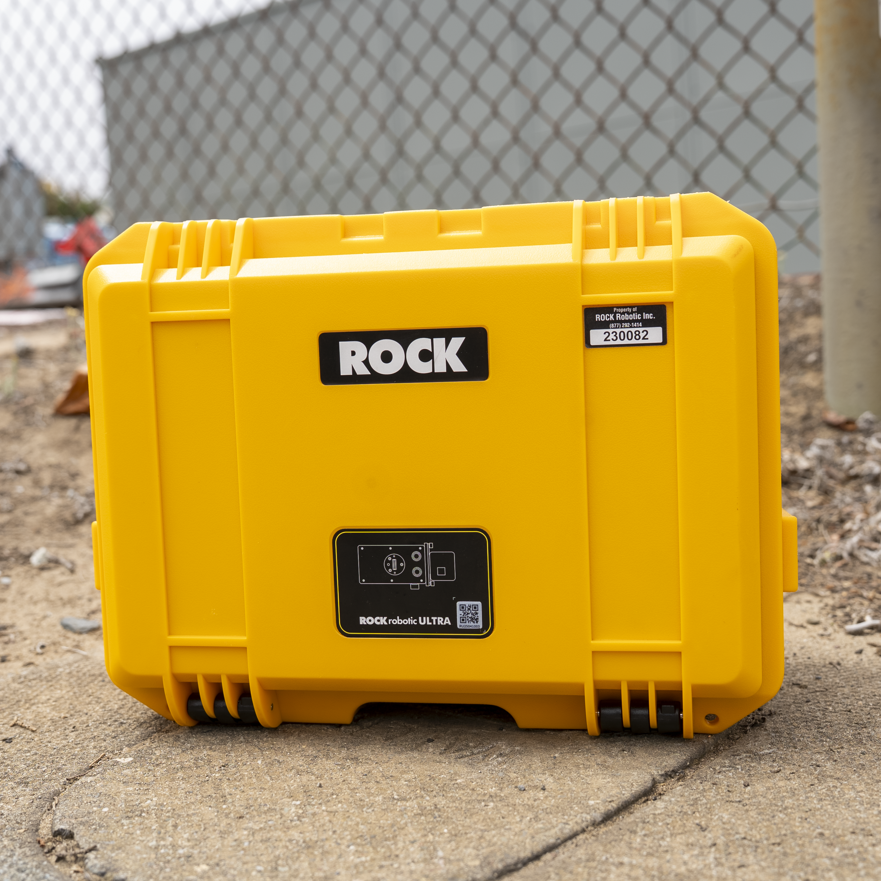
Pro Case
Extra protection
Professional Ecosystem
ROCK Cloud Business Pro
Priority processing, 1TB storage, advanced tools
ROCK Desktop Pro License
Aerial + Mobile + SLAM processing
Priority Support
Direct access to senior LiDAR engineers
Advanced Training
Pro modules + 1-on-1 onboarding session
Pro Calibration
Enhanced boresight with certification
Extended Warranty
2-year coverage with advance replacement
Get the Complete Technical Specifications
Download our comprehensive spec guide for detailed technical information, performance metrics, and comparison charts.
ROCK R3 Pro V2 Spec Guide
- Complete technical specifications
- Performance comparison charts
- Aerial metric camera options
- Optional mounts and accessories
PDF format • 2 pages • No email required
Why Choose R3 Pro Over Standard R3?
Double the Laser Channels
- • 32 vs 16 channels: 2x vertical resolution
- • Better vegetation penetration: More returns per area
- • Cleaner edges: Superior feature definition
- • Faster coverage: Wider swath with same density
Professional Advantages
- • 1.28M pts/sec: Double the data density
- • Mobile-optimized: Superior at vehicle speeds
- • SLAM excellence: Better indoor detail
- • Future-proof: Handles demanding projects
R3 Pro V2 Performance Metrics
2x
More points per flight
50%
Better canopy penetration
30%
Faster project completion
Professional Applications
The R3 Pro V2 excels in demanding projects that require maximum detail.
Highway Corridors
DOT-grade mobile mapping with complete asset inventory at 70+ mph.
Dense Vegetation
Superior canopy penetration for forestry and environmental studies.
Complex Facilities
Complete as-builts with seamless indoor/outdoor transitions.
Frequently Asked Questions
Is the R3 Pro V2 worth the upgrade from standard R3?
If you need higher point density, better vegetation penetration, or plan to do mobile/SLAM scanning regularly, the Pro is worth it. The doubled laser channels (32 vs 16) make a significant difference in data quality and project efficiency. For basic aerial mapping, the standard R3 may suffice.
How does the R3 Pro V2 compare to the ROCK Ultra?
The Ultra is specialized for long-range aerial mapping (1000m range, 1550nm laser) with exceptional vegetation penetration. The R3 Pro V2 is the versatile workhorse—3-in-1 capability, excellent for most projects at medium range. Choose Ultra for massive aerial sites; R3 Pro for versatility and value.
What's included in the Pro package?
The R3 Pro V2 includes the 32-channel LiDAR sensor, 26MP camera, professional mounting kit, ROCK Cloud Business Pro subscription, ROCK Desktop Pro license, priority support, advanced training, and 2-year warranty. Optional SLAM DOCK V2 recommended for indoor scanning.
Can I upgrade from R3 to R3 Pro later?
The R3 and R3 Pro are different hardware units (16 vs 32 laser channels), so you cannot upgrade the sensor itself. However, R3 owners can purchase the R3 Pro at a discounted upgrade price and often trade in their R3 unit. Contact sales for upgrade options.
What's the learning curve for the 3-in-1 capability?
Very minimal. All three modes use the same ROCK Desktop/Cloud workflow. Switching between aerial, mobile, and handheld is just a matter of mounting. Our included training covers all three modes, and most users are proficient within a week.
What Pro Users Say
Hear from professionals who've upgraded to the R3 Pro V2 for demanding projects.
"The upgrade from R3 to R3 Pro was a game-changer. The doubled point density means we can fly higher and still get incredible detail. Mobile mapping at highway speeds is now viable for our DOT contracts."
"We use the R3 Pro V2 for everything—drone surveys, vehicle corridor mapping, and indoor SLAM scans. Having one system that excels at all three has simplified our operations and training immensely."
Master Your ROCK R3 Pro V2
Get the most out of your investment with comprehensive training options designed for hands-on learning and expertise development.
Hands-On Training
Denver, Colorado
Learn directly from ROCK engineers with hands-on experience using real equipment. Covers flight operations, data processing, and advanced techniques.
View Training DetailsROCK Academy
Online Learning Platform
Comprehensive online curriculum covering the complete LiDAR workflow from capture to deliverables. Learn at your own pace with expert guidance.
Explore ROCK AcademyNot sure which training option is right for you?
Talk to Our Training ExpertsReady for Professional-Grade Performance?
Step up to the ROCK R3 Pro V2 and experience the difference that 32 channels and 1.28M points per second makes.