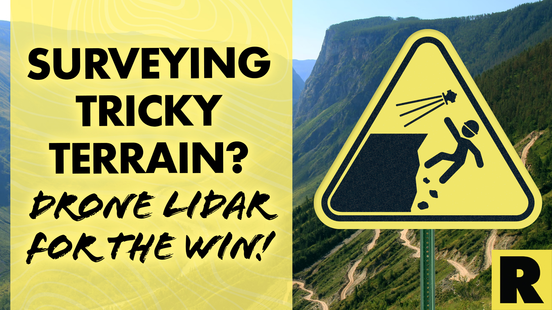
Surveying Tricky Terrain? Drone LiDAR for the Win!
Mar 10, 2023
Drone LiDAR technology is changing the landscape of how land surveys are conducted — pun 100% intended. Traditional surveying methods often pose significant risks to human surveyors, such as falls, exposure to extreme weather, and encounters with wildlife.
LiDAR-equipped drones eliminate these risks and provide accurate and detailed data for planning and decision-making. In this article, we'll explore the benefits of using drone LiDAR for land surveys in hazardous terrain.
Increased Efficiency
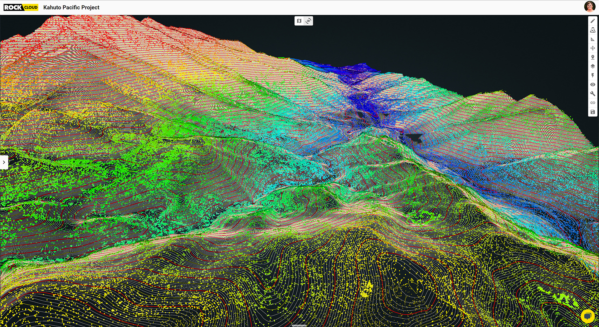
Drone LiDAR systems can quickly and accurately survey large areas of hazardous terrain, providing a detailed 3D map with information on elevation, contours, and other features. This is especially useful in areas that are difficult or dangerous to access on foot or by vehicle, such as steep cliffs, dense, impassable forests, or rugged mountains. With drone LiDAR, surveyors can utilize efficient flight planning and identify potential hazards more easily.
*Related: *A Surveying Company in Fiji Uses Drone LiDAR to Capture Contours for a 250-Acre Project Site
Enhanced Safety
The enhanced safety benefits of drone LiDAR cannot be overstated. Traditional surveying methods often require surveyors to traverse rugged terrain to collect data. This can be incredibly dangerous, with surveyors risking injury from falls or other accidents. By using drone LiDAR technology, surveyors can avoid these hazards altogether.
Instead, they can collect data remotely from a safe distance, reducing the likelihood of injury. This not only protects surveyors, but also allows them to focus on analyzing the data rather than worrying about their safety. After all, surveying with a LiDAR-equipped UAV can help you avoid encounters with bears, snakes and bobcats (oh my)!
Using drone LiDAR for land surveys in treacherous terrain can have a positive impact on the environment. By reducing the need for surveyors to access unstable terrain physically, LiDAR technology can help minimize the amount of disturbance to sensitive ecosystems. This is particularly important in areas with fragile ecosystems, where human activity can have significant negative impacts.
Accurate Data Collection
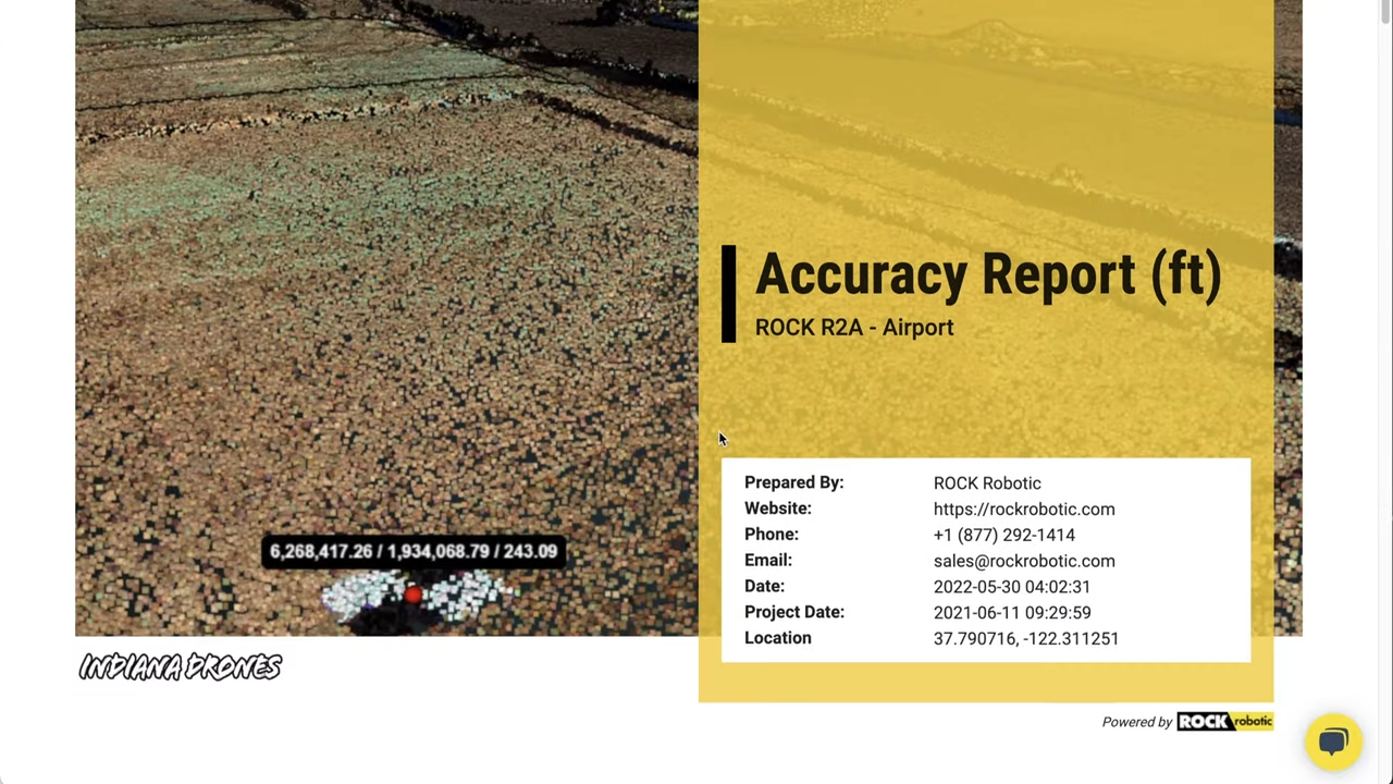
Precise measurements are critical for planning safe and efficient routes in these areas, and traditional surveying methods may only sometimes provide the level of accuracy required. LiDAR-equipped drones, on the other hand, are highly accurate and can provide a level of detail that is difficult to achieve with traditional surveying methods. The drones use a combination of laser beams and GPS technology to collect point cloud data, providing detailed maps of the landscape. This level of accuracy allows surveyors to make more informed decisions, ultimately leading to safer and more efficient routes.
*Related: *Why ROCK Cloud is the Best LiDAR Data Processing Software
Cost Savings
Advanced LiDAR systems are becoming more affordable and accessible, making them more cost-effective for land surveying in hazardous terrain. Traditional surveying methods, such as ground-based LiDAR or manual surveys, can be time-consuming and expensive, especially in dangerous areas. With drone LiDAR, surveyors can quickly collect accurate data and avoid the costs associated with manual surveys. This makes drone LiDAR a great option for organizations with champagne expectations on beer budgets.
Drone LiDAR can also help minimize costs in other areas. Using drone LiDAR can reduce the costs associated with on-site personnel and equipment. The drones can be programmed to fly a specific route and collect data, reducing the need for surveyors to travel to the site. This also eliminates the need for expensive equipment, such as cranes or helicopters, which may be required in hazardous terrain.
By eliminating the risks associated with traditional surveying methods, drone LiDAR can help protect human surveyors from potential harm and injury while providing accurate and detailed data for planning and decision-making. As advances in drone LiDAR technology continue to accelerate, we expect to see an increase in its use for land surveys in hazardous terrain.
Looking for survey-grade post-processing software? Start your 14-day free trial of ROCK Cloud today at cloud.rockrobotic.com.