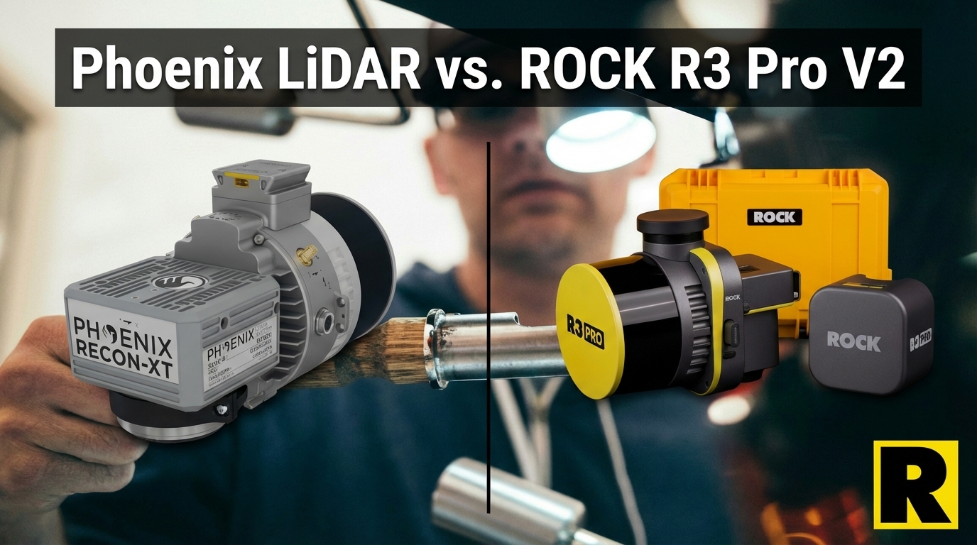
Phoenix LiDAR vs. ROCK R3 Pro V2: Legacy Prestige Meets Modern Workflow
Apr 01, 2026
Phoenix LiDAR Systems has been a respected name in the professional UAV LiDAR market for years. Their multi-platform systems — drone, vehicle, backpack — gave survey firms genuine versatility at a time when most competitors were aerial-only. Their Riegl-powered high-end systems are as accurate as any on the market.
In February 2026, Phoenix LiDAR was acquired by Revolution Geosystems.
That acquisition context matters when evaluating Phoenix hardware today. We'll come back to it.
First: the honest assessment of where Phoenix has been and where ROCK R3 Pro V2 fits into the comparison.
What Phoenix Got Right
Phoenix built a legitimate reputation on several real strengths:
True Multi-Platform DNA. Before "multi-platform LiDAR" was a mainstream category, Phoenix was offering drone, vehicle, and backpack configurations. That heritage is real, and their systems have field-tested multi-mode deployments across surveying, utilities, and corridor work.
Riegl-Powered Accuracy. Phoenix's higher-end Ranger systems use Riegl VUX-based scanners — the gold standard of LiDAR accuracy. For organizations where Riegl trust is part of the procurement conversation, Phoenix provides access to Riegl hardware in UAV form factors.
NDAA Compliance. Phoenix is a US-based company. Their systems qualify for government and defense-adjacent contracts.
LiDARMill. Phoenix's cloud processing platform is a capable post-processing environment for Riegl-based systems, with SpatialExplorer for visualization and analysis.
Utility and Corridor Track Record. Phoenix has real deployments in utility corridor mapping and infrastructure inspection.
So why are survey firms evaluating ROCK R3 Pro V2 as the stronger current choice?
1. Weight and Drone Simplicity
The Phoenix Recon-XT weighs approximately 1.8 kg. The miniRANGER-3 LITE with camera is closer to 2.5 kg.
The ROCK R3 Pro V2 weighs 1.26 kg.
That weight difference matters for two reasons. First, heavier sensors require more capable drones with larger payload capacities, adding cost and operational complexity. Second, heavier systems reduce flight endurance, increasing the number of batteries and flights required per project.
The R3 Pro V2's 1.26 kg mounts directly on a DJI M350 via SkyPort — the simplest, most widely deployed drone platform in the survey industry. Phoenix systems require more complex mounting integration and platform selection.
2. The Ecosystem Comparison
Phoenix's software story is fragmented in a way that ROCK's isn't.
LiDARMill is Phoenix's cloud platform. SpatialExplorer handles visualization. But the overall workflow requires more integration expertise than ROCK Cloud's unified field-to-finish experience. Phoenix systems are powerful — they also require more skilled operators to get the most out of them.
ROCK Cloud's automation is designed for the drone pilot in the field, not a specialized LiDAR analyst with years of processing experience:
- Automated strip alignment — no manual post-processing setup
- One-click ground classification — AI separates ground from non-ground automatically
- Contour extraction — survey-ready contours in minutes
- ROCK Pro Services — CAD-ready planimetrics from licensed surveyors in 3-5 days
Phoenix has no equivalent to ROCK Pro Services. A Phoenix customer finishing a miniRANGER-3 flight has a high-quality point cloud and a complex processing pipeline ahead of them.
For survey firms that want to deliver planimetrics and CAD-ready output without building an in-house LiDAR processing team, the ROCK ecosystem wins this comparison.
3. Plug-and-Play vs. Integration Expertise
Phoenix systems are known for requiring more integration effort than ROCK systems. The SkyPort mounting system on the R3 Pro V2 is a native DJI integration — attach, configure, fly. Phoenix systems typically require custom mounting brackets, integration testing, and platform-specific calibration procedures.
For a survey firm whose core competency is surveying — not LiDAR system integration — this matters. The R3 Pro V2's plug-and-play philosophy means spending more time on billable projects and less time on hardware configuration.
4. Pricing
Phoenix systems are priced at a significant premium over ROCK. The Recon-XT typically costs more than the R3 Pro V2, and the miniRANGER-3 LITE (which offers comparable multi-platform capability at higher weight and complexity) is considerably more expensive.
For the survey firm doing a budget comparison — comparable multi-platform capability, comparable accuracy, NDAA compliance — ROCK R3 Pro V2 delivers equivalent or better results at lower total system cost.
5. The Revolution Geosystems Question
In February 2026, Revolution Geosystems acquired Phoenix LiDAR. This is the most significant factor in a current Phoenix evaluation.
Acquisitions introduce product roadmap uncertainty. The R&D team that built Phoenix systems may or may not remain intact. Future firmware updates, software development, and product direction are under new ownership. Support structures transition. Dealer networks shift.
This isn't speculation or negativity toward Phoenix — this is standard acquisition risk that any responsible procurement officer evaluates. When you're purchasing a $40K–$80K sensor that you'll depend on for 5+ years, the stability of the manufacturer matters.
ROCK Robotic is an independent company with a clear product roadmap, active development on ROCK Cloud and hardware, and no acquisition-related uncertainty. The R3 Pro V2 you buy today has a clear path of support, updates, and ecosystem development behind it.
Head-to-Head: ROCK R3 Pro V2 vs. Phoenix Recon-XT
| ROCK R3 Pro V2 | Phoenix Recon-XT | |
|---|---|---|
| Pulse Rate | 1.28M pts/s (dual) | 1.28M pts/s (dual) |
| Returns | 2 | 2 |
| Weight | 1.26 kg | ~1.8 kg |
| Multi-Platform | Drone + Vehicle + SLAM | Drone + Vehicle + Backpack |
| NDAA OK? | Yes | Yes |
| Integration | Plug-and-play (SkyPort) | Custom integration |
| Cloud Workflow | ROCK Cloud + Pro Services | LiDARMill + SpatialExplorer |
| Automated Deliverables | Yes (Pro Services) | No equivalent |
| Price | Lower | Higher |
| Manufacturer Stability | Independent, clear roadmap | Mid-acquisition (Rev. Geosystems) |
Where Phoenix Recon-XT wins: Riegl brand association (higher-end Ranger series), backpack capability (vs. ROCK's handheld SLAM approach), established utility corridor track record.
Where R3 Pro V2 wins: Weight, plug-and-play integration, total system cost, ROCK Cloud automation with Pro Services, manufacturer stability.
The Bottom Line
Phoenix LiDAR's multi-platform heritage is real and their systems have earned their reputation in demanding deployments. The Ranger-class Riegl-based systems are genuinely excellent for high-end applications.
But the Recon-XT and miniRANGER-3 LITE — Phoenix's direct R3 Pro V2 competitors — are heavier, more expensive, harder to integrate, and currently in a period of acquisition uncertainty.
The ROCK R3 Pro V2 delivers comparable multi-platform versatility, comparable accuracy, full NDAA compliance, and a significantly better automated workflow — at lower cost, with greater deployment simplicity, and with no acquisition-related risk in the product roadmap.
For survey firms building their business on reliable, versatile, workflow-connected LiDAR capability today, ROCK is the more rational choice.