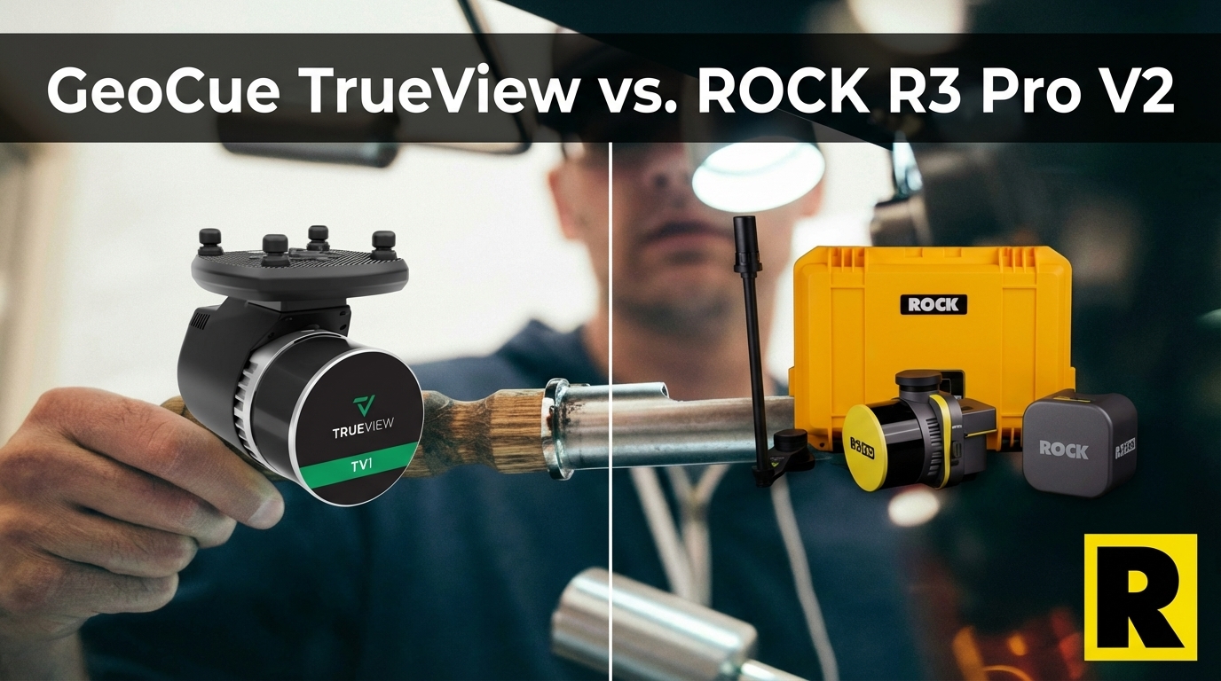
GeoCue TrueView vs. ROCK R3 Pro V2: Same Sensor, Different Ecosystem
Apr 01, 2026
GeoCue is a US-based company out of Huntsville, Alabama with a long track record in the LiDAR industry. Their TrueView line — particularly the TrueView 1 — is a legitimate, well-supported system used by professional surveyors across the country.
It's also built on the Hesai XT32. The same sensor at the core of the ROCK R3 Pro V2.
So when a survey firm is comparing these two systems, the conversation shouldn't be about raw scan performance. It should be about what wraps around the sensor — the workflow, the versatility, the ecosystem, and the business model.
That's where the comparison gets interesting.
What GeoCue Gets Right
Let's be direct: GeoCue deserves credit for several things.
NDAA Compliance. GeoCue is a US-based manufacturer, and the TrueView line is NDAA-compliant out of the box. For government contractors, DOT firms, and utility companies, this matters — and GeoCue has built their market position around it intelligently.
LP360 Software. GeoCue's LP360 is one of the most respected desktop LiDAR processing tools in the industry. Its AI-powered ground classification, feature extraction, and Gaussian splatting viewer are genuinely strong. Survey teams with a dedicated processing workflow often cite LP360 as best-in-class for desktop use.
Subscription Flexibility. GeoCue offers monthly financing options and subscription-based access — including month-to-month availability. For firms not ready to commit to a full purchase, this lowers the barrier to entry significantly.
Strong US Support. GeoCue's US-based team knows their product and serves their customers well. This is a real differentiator versus overseas competitors.
So why do survey firms choose ROCK R3 Pro V2 over TrueView?
1. Drone-Only vs. Three Revenue Streams
This is the biggest practical difference.
The TrueView 1 is a drone-mounted sensor. That's its entire use case — aerial UAV survey. There's no vehicle configuration. No handheld SLAM capability. No GPS-denied operation.
The ROCK R3 Pro V2 is a multi-platform system:
- Aerial — mounts via SkyPort on DJI M350, Freefly Astro, Inspired Flight IF800
- Mobile — attaches to the ROCK Mobile Mount for vehicle-based corridor and facility mapping
- Handheld SLAM — deploys with ROCK SLAM Dock V2 for GPS-denied environments: buildings, tunnels, underground utilities, parking structures
For a survey firm doing only aerial work, this doesn't matter. But for any firm that has turned down indoor as-built work, mobile corridor projects, or GPS-denied facility surveys — those are revenue opportunities the R3 Pro V2 opens without an additional hardware purchase.
PilotByte (Dylan Gorman) added mobile and SLAM capabilities through the R3 Pro V2 and expanded into project types his previous aerial-only setup couldn't touch, mapping a 133-acre highway interchange in 30 minutes on aerial jobs while also capturing building interiors for architectural clients.
2. Cloud Automation vs. Desktop-First
LP360 is a powerful desktop tool. ROCK Cloud is something fundamentally different.
ROCK Cloud is designed to be a field-to-finish automated workflow — not a desktop processing application that requires skilled software operators to drive it:
- Automated strip alignment — no manual tie points, no post-processing expertise required
- One-click ground classification — AI separates ground from vegetation and structures
- Contour extraction — survey-ready contours generated automatically from classified data
- Collaborative review — share data with clients and team members directly in the browser
- ROCK Pro Services — licensed surveyors perform CAD extraction, planimetrics, and deliverable review with 3-5 day turnaround
LP360 has no equivalent to ROCK Pro Services. GeoCue doesn't offer a service bureau that turns raw LiDAR into CAD-ready planimetrics. When a TrueView customer finishes a flight, they either have the LP360 expertise in-house or they figure it out.
For small and mid-size survey firms — especially those trying to scale drone LiDAR without hiring a dedicated LiDAR processing specialist — the ability to outsource the hard part to ROCK Pro Services is often the deciding factor.
3. The Ownership Model
This is a nuanced but real difference.
GeoCue's subscription model lowers the barrier to entry. Month-to-month access is genuinely valuable for firms testing the market or managing cash flow.
But on a subscription, you never own the hardware. The moment you stop paying, the equipment (or your access to processing it) goes away.
With ROCK, you buy the sensor. You own it. ROCK Desktop has an annual renewal for continued raw data processing — a standard arrangement across the industry — but the hardware is yours outright. There's no subscription expiration date on your ability to collect data.
For firms building long-term business assets, ownership vs. subscription is a meaningful distinction.
4. The Sensor Performance Note
Since both the TrueView 1 and R3 Pro V2 use the Hesai XT32, their raw scan performance is comparable — 1.28M points per second in dual return, comparable FOV, similar weight class.
One meaningful difference: ROCK's reported accuracy is 2-3 cm vertical. GeoCue's TrueView 1 advertises ±1 cm — a claim worth verifying on real-world projects, particularly at varying altitudes. ROCK's accuracy figures come from independently verified field deployments.
Both systems are capable of survey-grade results when properly operated. The hardware isn't the differentiator here. The ecosystem is.
Head-to-Head: ROCK R3 Pro V2 vs. GeoCue TrueView 1
| ROCK R3 Pro V2 | GeoCue TrueView 1 | |
|---|---|---|
| Laser | Hesai XT32 | Hesai XT32 |
| Point Rate | 1.28M pts/s (dual) | 1.28M pts/s (dual) |
| Camera | 26 MP | 26 MP, 45 MP, or 61 MP options |
| Accuracy | 2–3 cm | ±1 cm (claimed) |
| Multi-Platform | Drone + Vehicle + SLAM | Drone only |
| NDAA OK? | Yes (on Astro/IF800) | Yes (US-made) |
| Business Model | Purchase (own hardware) | Subscription or purchase |
| Cloud Workflow | ROCK Cloud + Pro Services | LP360 (desktop-first) |
| Automated Deliverables | Yes (Pro Services) | No equivalent |
| Software Strength | ROCK Cloud automation | LP360 desktop depth |
Where TrueView 1 wins: Native NDAA compliance, LP360's depth for power users, subscription flexibility for cash-flow management.
Where R3 Pro V2 wins: Multi-platform versatility (drone/vehicle/SLAM), hardware ownership, ROCK Cloud's automated field-to-finish workflow, ROCK Pro Services.
The Bottom Line
GeoCue TrueView is a well-made NDAA-compliant sensor with excellent desktop software and strong US support. If you're a power LP360 user doing primarily aerial survey work for government clients, TrueView deserves a hard look.
But if you want a sensor that opens mobile mapping, indoor scanning, and GPS-denied work on top of aerial — and if you want a field-to-finish workflow that doesn't require a dedicated processing specialist — the ROCK R3 Pro V2 is the stronger business investment.
The Hesai XT32 inside is the same. Everything around it isn't.
Want to see R3 Pro V2 data from real survey projects? Check out the Indiana Drones YouTube channel for unedited flight footage and data walkthroughs.