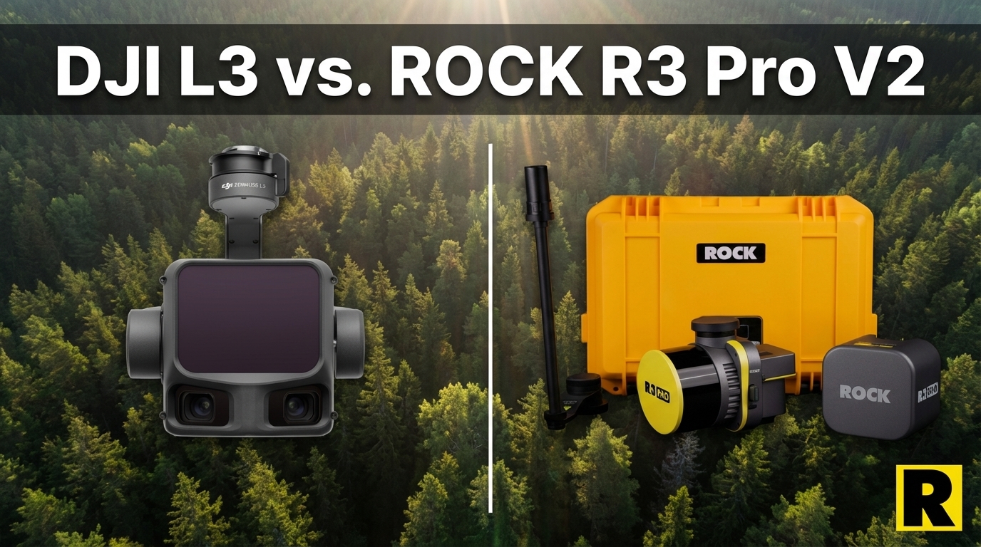
DJI L3 vs. ROCK R3 Pro V2: Different Tools for Different Businesses
Apr 01, 2026
This comparison is going to be a little unusual. We're going to start by telling you where DJI wins.
The DJI Zenmuse L3 is a better aerial LiDAR sensor than the ROCK R3 Pro V2 in a straight spec-for-spec comparison. Its 1535 nm wavelength goes farther. Its 16 returns penetrate vegetation better. Its 2 million points per second produces denser aerial point clouds. And at $17,400, it's priced lower than the R3 Pro V2.
If all you do is aerial drone LiDAR, and you never need government contracts, and you already own a DJI M400 — the L3 is a legitimate choice that we can't argue away with marketing language.
But here's the thing: that describes a very specific business model. Most survey firms — especially the ones growing their revenue — don't fit that description. And for those businesses, the R3 Pro V2 is a different kind of investment entirely.
What the DJI L3 Gets Right
Let's lay it out plainly:
- 1535 nm wavelength — excellent range, penetration, and eye safety
- Up to 16 returns at 100 kHz — outstanding for dense canopy work
- 2 million points per second — higher density aerial data than the R3 Pro V2
- Dual 100 MP cameras — exceptional colorization quality
- DJI Terra free — no upfront software cost
- $17,400 sensor price — aggressive entry point for the spec tier
If aerial performance on a single platform is your entire evaluation criteria, the L3 scores well.
Now here's why that's the wrong evaluation criteria for most businesses.
The Platform Problem: You Need a New Drone
The L3 only works on the DJI Matrice 400. Not the M300. Not the M350. The M400 — a drone that launched in mid-2025 and costs roughly $16,000+ on its own.
If you already own an M350, the L3 isn't a sensor upgrade. It's a sensor plus a full drone replacement. You're looking at $33,000+ before accessories, licensing, and training.
The ROCK R3 Pro V2 mounts on your existing DJI M350 RTK via SkyPort. The platform you already own, already know, and already have insured.
The NDAA Problem: The Clock Is Ticking
In December 2025, DJI was added to the FCC Covered List. The trajectory for DJI hardware in US government and infrastructure contracts is clear — and it's not moving in DJI's favor.
If you do any work for federal agencies, state DOTs, utility companies, municipalities, or military installations — or if you want to — the DJI L3 on the M400 cannot qualify. These contracts increasingly require NDAA-compliant equipment, and the DJI ecosystem fails that test.
The ROCK R3 Pro V2, mounted on a Freefly Astro or Inspired Flight IF800, is fully NDAA compliant. You can bid government work today, without waiting for regulatory clarity on DJI.
For survey firms in the $1M–$5M revenue range, government and infrastructure contracts often represent 30-50% of revenue. Building your platform on DJI hardware in 2026 means knowingly walking away from that market.
The Versatility Difference: Three Revenue Streams, One Sensor
This is the core argument. Not specs. Revenue streams.
The DJI L3 flies on the M400. That's it.
The ROCK R3 Pro V2:
- Flies on DJI M350 RTK, Freefly Astro, Inspired Flight IF800 for aerial survey
- Drives with the ROCK Mobile Mount for corridor mapping, road surveys, and facility mapping
- Walks with the ROCK SLAM Dock V2 for GPS-denied environments: buildings, tunnels, underground utilities, urban canyons
Three different modalities. Three different project types. One hardware investment.
Think about the last five projects your team turned down because you didn't have the right tool. Indoor as-built for a facility renovation? Mobile corridor scan for a DOT project? SLAM survey in a parking garage? With the R3 Pro V2, those become billable work.
With the L3, those are still turndowns.
D.C. Johnson & Associates transformed their survey business by adding R3 Pro V2 capabilities — aerial, mobile, and SLAM in a single system — and opened project types they couldn't previously compete for.
The Software Difference: ROCK Cloud vs. DJI Terra
DJI Terra handles basic point cloud generation from the L3. For straightforward aerial projects with a relatively clean deliverable, it works.
For anything beyond that — ground classification, feature extraction, planimetrics, deliverable-ready output — you're doing manual work or buying additional software.
ROCK Cloud's automated workflow:
- Strip alignment — automated, no manual tie points
- Ground classification — AI-assisted, separates ground from everything above it
- Contour extraction — generates survey-ready contours automatically
- ROCK Pro Services — our licensed surveyors turn your point cloud into CAD-ready planimetrics within 3-5 days
DJI has zero equivalent to ROCK Pro Services. There is no DJI service bureau staffed by licensed surveyors doing CAD extraction from your data. When you finish an L3 flight, the post-processing is entirely on you.
The Renewal Cost Reality
Competitors (and DJI reps) love to say ROCK has expensive annual renewal costs. Let's put actual numbers on the table.
ROCK: Hardware is yours outright. ROCK Desktop has an annual renewal for continued raw data processing. ROCK Cloud is optional, pay for what you use.
DJI Terra Pro: $440/year annual maintenance for permanent license holders. Subscription option: $999+/year. DJI Terra + DJI Modify bundle: $2,040/year.
Every LiDAR platform has recurring software costs. ROCK's are transparent, modular, and comparable to — or lower than — DJI's own software pricing. And unlike DJI Terra, ROCK Cloud actually produces deliverable-ready output.
Head-to-Head: ROCK R3 Pro V2 vs. DJI Zenmuse L3
| ROCK R3 Pro V2 | DJI Zenmuse L3 | |
|---|---|---|
| Wavelength | 905 nm | 1535 nm |
| Point Rate | 1.28M (dual return) | 2M pts/s |
| Returns | 2 | Up to 16 |
| Accuracy | 2–3 cm | ~3–5 cm vertical |
| Drone Required | M350 (existing fleet) | M400 (new purchase, ~$16K) |
| Multi-Platform | Drone + Vehicle + Handheld SLAM | Drone only |
| NDAA OK? | Yes (on Astro/IF800) | No |
| Cloud Workflow | ROCK Cloud + Pro Services | DJI Terra (basic) |
| Automated Deliverables | Yes (Pro Services) | No equivalent |
| Sensor Price | Mid-range | $17,400 |
Where L3 wins: Wavelength, point rate, returns, and aerial-only sensor cost.
Where R3 Pro V2 wins: Platform flexibility (existing M350), multi-platform versatility, NDAA compliance, and complete automated workflow with Pro Services.
Two Different Businesses
Here's the honest summary:
If your business is 100% commercial aerial drone survey, you never need government contracts, and you're buying the M400 anyway — the L3 is a compelling aerial sensor.
If your business does any of the following, the R3 Pro V2 is the stronger investment:
- Government, DOT, utility, or infrastructure work
- Indoor scanning, as-builts, or GPS-denied environments
- Mobile corridor mapping
- Working on a DJI M350 (already purchased)
- Wanting a field-to-CAD workflow without hiring a CAD tech
The L3 is a better aerial sensor. The R3 Pro V2 is a better business tool. Those are different things.
Watch the R3 Pro V2 fly, drive, and walk in a single day on the Indiana Drones YouTube channel.