Global RTK Corrections. Anywhere You Work.
Connect to 16,000+ GNSS base stations worldwide for reliable, centimeter‑level positioning — device‑agnostic and ready in minutes.
±1 cm
RTK Precision
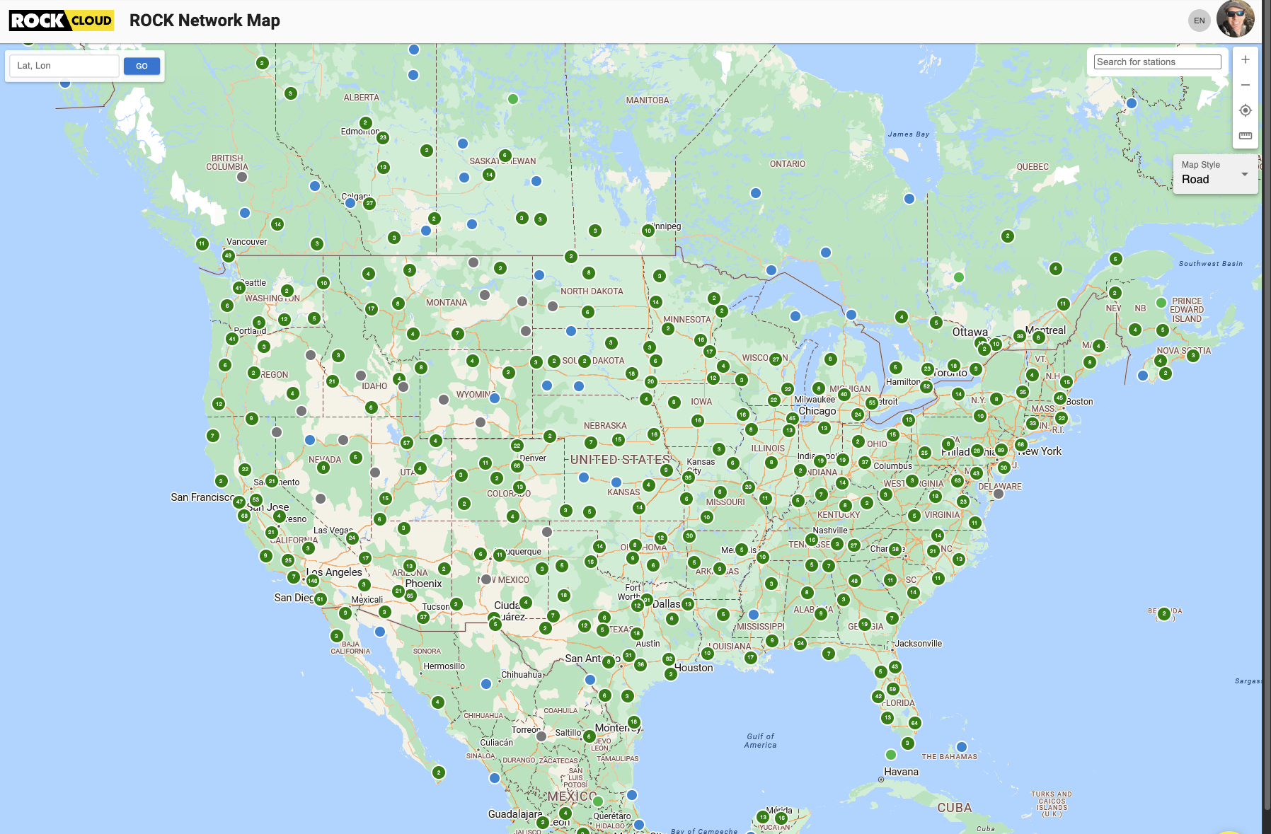
16,000+
Global Bases
140+
Countries
RTCM3
Over NTRIP
$40/mo
Per User
$400/yr
Per User
Worldwide Coverage. Short Baselines. Fast Fixes.
Tap into 16,000+ reference stations across 140+ countries. Dense network coverage means shorter baselines, robust ambiguity resolution, and consistent centimeter‑level accuracy wherever you operate.

Open Standards. Device‑Agnostic.
Stream RTCM 3.x corrections over NTRIP to virtually any RTK‑capable rover, drone, or receiver — including DJI M3E/M350, Trimble, Leica, Emlid Reach, and more. No vendor lock‑in required.

Cloud‑Connected Workflow, End‑to‑End.
Download historical RINEX observation data for PPK and QA, and plug directly into the ROCK ecosystem — from field capture to ROCK Desktop and ROCK Cloud processing. Less friction, more confidence.
Technical Highlights
Protocols
- • RTCM 3.x corrections
- • NTRIP caster/client
- • Typical low latency
Constellations
- • GPS, GLONASS
- • Galileo, BeiDou
- • Multi‑band support
Compatibility
- • DJI RTK drones (M3E/M350)
- • Survey rovers (Trimble, Leica, Emlid)
- • Any NTRIP‑capable receiver
Data Access
- • Historic RINEX downloads
- • ROCK Cloud & Desktop ready
- • Simple, fast onboarding
Simple, Affordable Plans
Priced per user. Add seats as your team grows. Cancel anytime.
Annual
$400/yr
Save vs monthly billing
- All monthly features
- Easy seat management
- Flexible team scaling
Pricing per user seat. Internet connection required for real‑time corrections. Availability varies by coverage and device capabilities.
Built for Surveying, Drones, and GIS
Streamline fieldwork, reduce costs, and deliver survey‑grade results faster.
Surveying & Stakeout
Start work immediately without setting a local base. Faster fixes, fewer reworks.
Aerial Mapping & UAV
Stream corrections to RTK‑capable drones for accurate geotags; pull RINEX later for PPK.
GIS & Asset Mapping
Achieve survey‑grade coordinates in real time on mobile devices and handheld receivers.
Frequently Asked Questions
How does the ROCK RTK Network work?
Subscribe to receive NTRIP credentials. Enter them into your rover, drone, or app to stream RTCM corrections from the nearest stations. You can also download RINEX data later for post‑processing.
Is my device compatible?
If your device supports RTCM 3.x over NTRIP, it will work. Popular options include DJI M3E/M350, Trimble and Leica rovers, Emlid Reach, and many others.
Do I need ROCK hardware to subscribe?
No. ROCK RTK is device‑agnostic and works with third‑party equipment. You can also pair it with ROCK Base hardware if you wish to operate a local station.
How are seats and users handled?
Pricing is per user. Add or remove seats as your team size changes. For larger deployments or purchasing annual seats, contact our team.
Get Centimeter Accuracy — Anywhere
Join thousands of professionals already using ROCK RTK for surveying, drone mapping, and GIS.
Cancel anytime • Works with most RTK‑capable devices