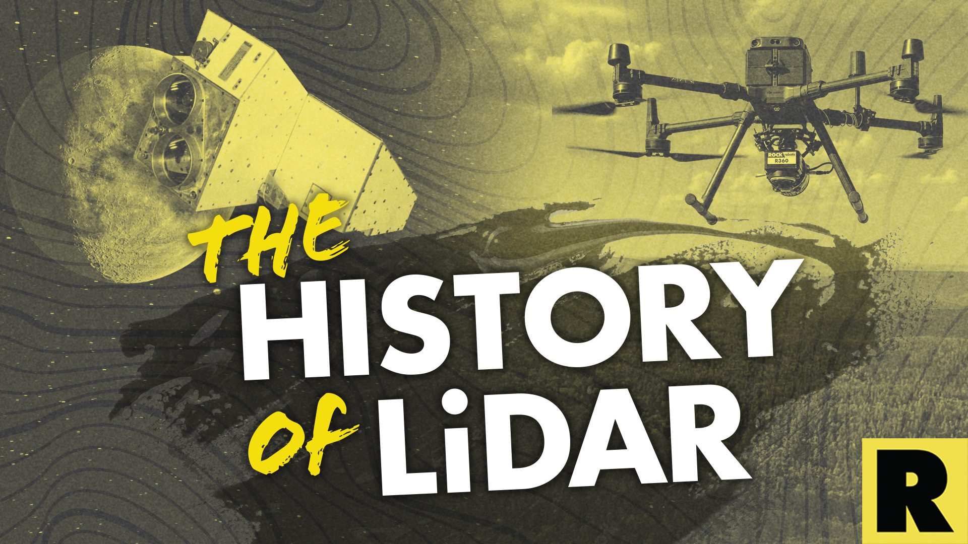
From Space Lasers to Autonomous Vehicles: The History of LiDAR
Feb 02, 2023
LiDAR makes it seem like we're living in the future. Today's technology allows us to receive over one million laser pulses per second of precision location data. But how did LiDAR get to where it is today? Let's investigate the origins and evolution of LiDAR.
The Birth of LiDAR
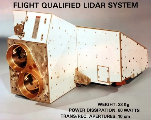
The origins of LiDAR have their roots in the early 1960s, when researchers at NASA and the US military began exploring new methods for measuring the distance to objects from aircraft. The fundamental concept of LiDAR is to emit a laser beam and measure the time it takes for the light to bounce back to the sensor. This method allows the sensor to determine the distance to the object. During this early stage, the military was searching for new technologies that could provide more precise and comprehensive information about the locations and movements of enemies.
The first LiDAR systems were built on the pulsed time-of-flight principle, which employs laser pulses to determine the distance to an object. This principle is still used in current LiDAR systems and forms the foundation of the technology. These early LiDAR systems were large, unwieldy and costly, rendering them impractical for everyday use. Additionally, the data they produced wasn't very accurate, and the systems could only scan small areas at a time. However, the potential of the technology was clear, and scientists continued to work on improving the accuracy and capabilities of LiDAR systems.
The Development of Solid-State LiDAR
In the 1970s, the LiDAR industry took a significant step forward with the development of solid-state LiDAR. This new type of LiDAR used a solid-state laser instead of a gas laser. The solid-state laser was smaller, cheaper and more reliable than the previous systems. This made it more practical for civilian use and opened up new possibilities for the technology.
The development of solid-state LiDAR made it possible to miniaturize LiDAR systems, making them more portable and easier to use. Additionally, the solid-state laser was more efficient and required less power, which made the systems more energy-efficient. This was a crucial step in the evolution of LiDAR technology. It allowed for the development of smaller and more affordable LiDAR systems that could be used in a wide range of applications.
The solid-state laser also allowed for the development of new sensors and processing techniques that improved the accuracy of the data produced by LiDAR systems. This made it possible to create more detailed and accurate 3D models of the environment, which is essential for many of the applications of LiDAR, such as mapping and surveying. Furthermore, the solid-state laser improved the overall stability of the systems, which increased the reliability of the data.
The Emergence of LiDAR in Mapping and Surveying
The evolution of LiDAR in the 1980s and 1990s saw significant advances in the technology. During this time period, LiDAR systems moved from being primarily laboratory-based to being more portable and field-ready.
In 1984, Optech launched the LARSEN 500, the first operational LiDAR bathymeter, charting Cambridge Bay in the Canadian Arctic. A few years later, Optech introduced the first commercial airborne LiDAR system, the Optech Airborne Laser Terrain Mapper (ALTM). This system was capable of collecting data at a high rate and had a measurement accuracy of up to 10 cm. It represented a major step forward in the field of airborne LiDAR, making it possible to collect large amounts of high-accuracy data over a wide area in a relatively short amount of time.
In the 1990s, the development of more advanced sensors and better data processing techniques made it possible to collect and process even more data, with higher accuracy and at a faster rate. New software and data visualization tools were developed to make it easier to analyze and use LiDAR data. The development of the Global Positioning System (GPS) and Inertial Measurement Units (IMUs) made it possible to accurately geolocate LiDAR data in real-time, making it possible to use the data for navigation and guidance.
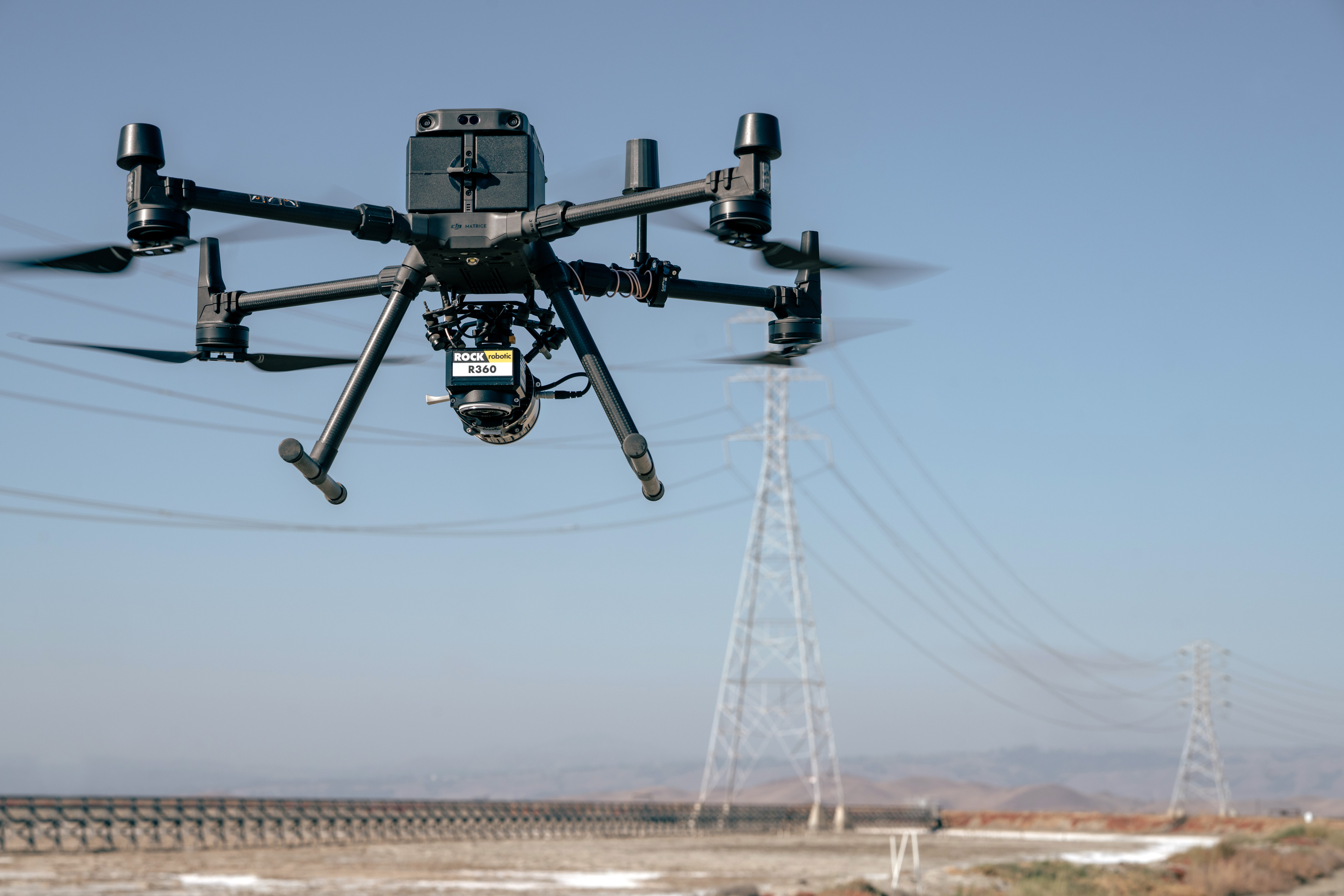
In 1998, Cyra Technologies unveiled the Cyrax 2400, the first tripod-mounted, commercial 3D scanner. It came with Cyclone, the first integrated point-cloud software. Today, ROCK Robotic's ROCK Cloud software offers DSPs and surveyors cloud-based point cloud data post-processing.
The 2000s brought rapid advancement to LiDAR technology, as commercial-grade LiDAR became even more reliable, affordable and accurate. In 2007, Google launched Street View, which now uses LiDAR sensors to help its vehicles avoid potholes while building a 360-degree view of the world.
LiDAR Today
Now LiDAR is used in a wide range of industries, from self-driving cars to drone mapping to autonomous farming. LiDAR has become more affordable and accessible, making it possible for individuals and businesses to use it for their groundbreaking projects. ROCK Robotic is grateful to the trailblazers who have advanced LiDAR technology to where it is today, and we plan to continue their legacy of boundary-breaking location precision and efficiency.
**Visit rockrobotic.com **to learn more about our survey-grade LiDAR hardware and processing software.