Pro LiDAR Processing — Free Deliverable
Get a professionally delivered LiDAR deliverable at no cost (up to $1,500 value) Upload your LiDAR or orthomosaic, and our team delivers survey‑grade CAD fast.
Why ROCK Pro Services
Real‑world performance and speed backed by our hybrid AI + human QC workflow.
What We Can Deliver
Choose the deliverable that fits your project. You capture; our team produces clean, CAD‑ready files.
ROCK Surveyor
- Bare‑earth (DTM) classification
- Contours at your preferred interval
- 3D breaklines for hydrologically correct surfaces
- Survey‑grade topo ready for design
ROCK Planimetrics
- 50+ feature types (roads, curbs, utilities, vegetation, etc.)
- AI extraction with expert human QC
- Custom CAD layering to your standards
- Works from LiDAR or orthomosaic imagery
PLS‑CADD & Vegetation
- Line, wire, and structure classification
- Vegetation encroachment analysis
- Method 1 structure modeling & optional sag reporting
- Utility‑ready deliverables for engineering
Every project includes a comprehensive data review / quality assessment to validate inputs and optimize processing for accurate results.

Dear Surveyor & Project Lead,
When we built ROCK Pro Services, the goal wasn’t to replace your team—it was to remove the bottleneck between great data and great CAD.
If you’ve ever watched a workstation crawl through a massive point cloud, waited on a drafting backlog, or spent late nights tracing curbs and breaklines—you’re not alone. We felt that pain long before we set out to solve it.
Our approach is simple: automation where it’s fast, humans where it matters. You upload data to ROCK Cloud, we scope the work together, and our team delivers clean, survey‑grade files aligned to your standards.
Start small. Use the free deliverable credit—up to $1,500—on a real project and judge us by the quality of the CAD you download, not by promises on a webpage.
And if we don’t see a good fit for your scope or timeline, we’ll tell you early and point you to the fastest path forward. The mission has always been the same: make LiDAR workflows simple, accurate, and accessible for the people doing the work.
See you in the cloud,
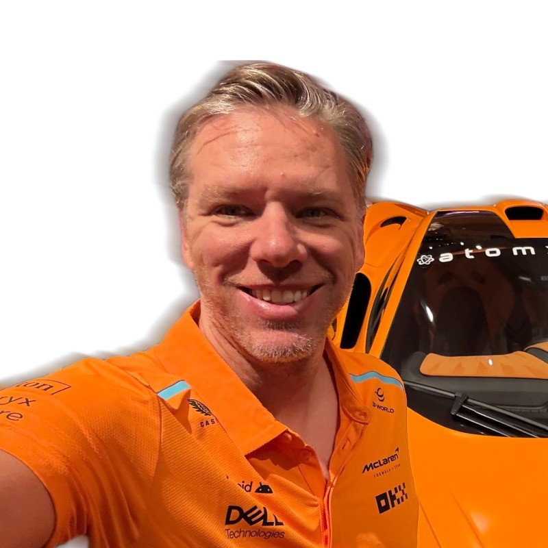
Harrison Knoll
Founder & CEO, ROCK Robotic
P.S. This free deliverable credit is limited. Submit the form to lock it in, then send us a project and let us prove it.
How It Works
Start a project in ROCK Cloud.
Or draw an AOI with a KML/KMZ for a quote.
We scope the work; your free deliverable credit is applied.
We process, QC, and deliver files ready for design.
Typical turnaround is fast; complexity and scope may affect delivery times.
Claim Your Free Deliverable
Submit this form to lock your credit (up to $1,500) toward your first ROCK Pro Services deliverable. A specialist will follow up to align on scope.
FREE1500 to receive your free deliverable creditSales: +1 (720) 706‑8648 · sales@rockrobotic.com
Frequently Asked Questions
A credit up to $1,500 toward one ROCK Pro Services deliverable (e.g., Surveyor, Planimetrics, or PLS‑CADD/Vegetation). Final scope and fit are confirmed during quoting.
No. You can upload LiDAR data or an orthomosaic to ROCK Cloud and request a quote directly from your project.
Turnaround is quick (often around a day for simpler scopes), but depends on data quality and deliverable type.
Yes—provide your CAD standards and we’ll match them.
Offer Terms & Conditions
- Limited‑time promotional credit up to $1,500 toward one ROCK Pro Services deliverable; non‑transferable; no cash value.
- Offer valid for new customers only.
- Requires form submission on this page and completion of a quote.
- Eligibility, data quality, scope fit, and turnaround are subject to review.
- Credit must be applied to the first qualifying order placed from this campaign.
- ROCK Robotic reserves the right to modify or end the promotion at any time.
About Our Founders
Rock Robotic was built by brothers Harrison and Alex Knoll with one mission: make LiDAR simple, accurate, and accessible.

Harrison Knoll — CEO
Harrison (CEO) saw firsthand the frustration surveyors faced with expensive, complicated tools. He knew there had to be a better way — faster, easier, and built for the people actually doing the work.

Alex Knoll — CTO
Alex (CTO) had the technical firepower to make it happen. With deep expertise in LiDAR systems, drones, and software, he engineered the ROCK Ecosystem — hardware and software that just works in the field.
Trusted by Surveyors, Engineers & Utilities
Professionals worldwide use ROCK for fast, survey‑grade results.
Ready to turn your data into CAD?
Claim your free deliverable credit and get a quote today.