ROCK Ultra Demo Tour 2025Try It On Your Projects
The ROCK Ultra is traveling customer-to-customer across America. Qualified professionals get 3 full days to test the only drone LiDAR that delivers survey-grade accuracy from 120m altitude. Use it on your real projects, with your drone, and experience the difference firsthand.
How the Trial Program Works
Simple process, comprehensive support, real results
Device Ships to You
ROCK Ultra arrives fully configured and ready to mount on your DJI M300/M350, Freefly Astro, or IF800 Tomcat drone.
3 Full Days of Testing
Use the system on your actual projects. Capture data in your environment with your team's workflow.
Complete Support Package
Pre-demo training call, technical support during your trial, and post-demo interview to ensure success.
Simple Return Process
After 3 days, ship the unit to the next participant using our prepaid label. We handle all logistics.
Your 3-Day Timeline
Share Your Story, Shape the Future
Your experience helps us improve and inspires others in the industry
Pre-Demo Interview
30-minute call to understand your objectives, current challenges, and what you hope to achieve with the ROCK Ultra
Mid-Demo Support
Quick check-in during your trial to address questions, troubleshoot issues, and ensure you're capturing quality data
Post-Demo Review
45-minute recorded interview to capture your experience, results, and testimonial for future case studies
Your Success is Our Success
Participants who complete the program receive exclusive benefits including priority access to new features, special pricing considerations, and the opportunity to be featured in our marketing materials.
Proven Results from the Field
See what the ROCK Ultra has already accomplished
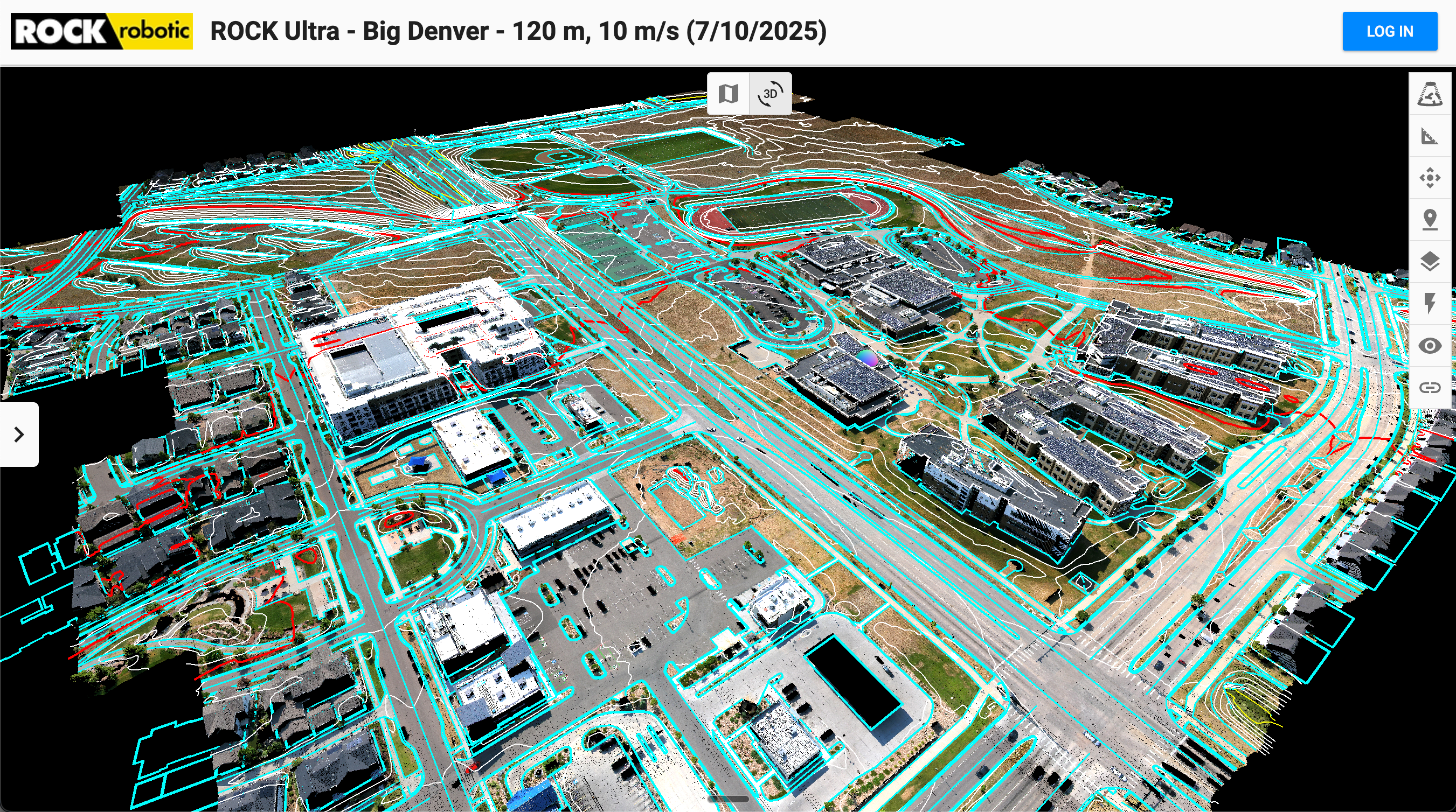
Denver Urban Mapping
159 acres mapped in a single flight, delivering perfect breaklines and 3cm accuracy for ALTA survey
Read Case Study →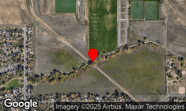
Vegetation Penetration
7 returns per pulse penetrated dense canopy at Van Bibber Creek, revealing ground detail invisible to photogrammetry
View Dataset →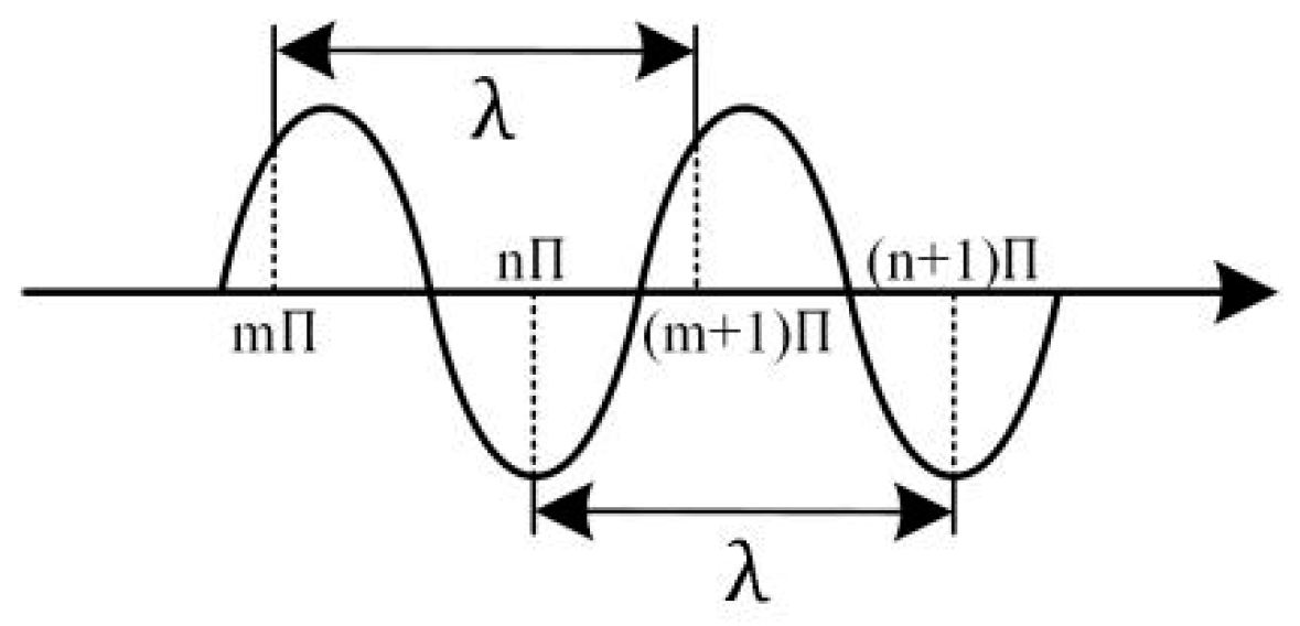
1550‑nm LiDAR for Aerial Mapping
Why 1550 nm enables high‑altitude flights, deeper vegetation penetration, and survey‑grade accuracy with ROCK Ultra
Read White Paper →Why the ROCK Ultra Changes Everything
The only drone LiDAR that delivers survey-grade results from high altitude
120m Operating Altitude
Fly above obstacles, cover more ground per battery, and maintain consistent data quality
7 Returns Per Pulse
Industry-leading vegetation penetration reveals ground detail other systems miss
1550nm Eye-Safe Laser
40x safer than 905nm systems, ideal for urban environments and populated areas
Survey-Grade Accuracy
3cm absolute accuracy meets ALTA/NSPS standards without compromise
Integrated Photogrammetry
61MP camera creates true-position orthomosaics with zero building lean
Complete Ecosystem
ROCK Desktop for field QC, ROCK Cloud for processing, all included
Join the ROCK Ultra Demo Tour
Limited slots available for September-October 2025. Get 3 days with the ROCK Ultra on your projects, with your drone. Experience survey-grade LiDAR from 120m altitude firsthand.