Land Surveying
Produce survey‑grade deliverables 10x faster
Powered by ROCK hardware and cloud. Standardize capture, tighten tolerances, and deliver CAD‑ready surfaces on tight timelines.
From Control to CAD, Digitize Your Entire Survey Workflow
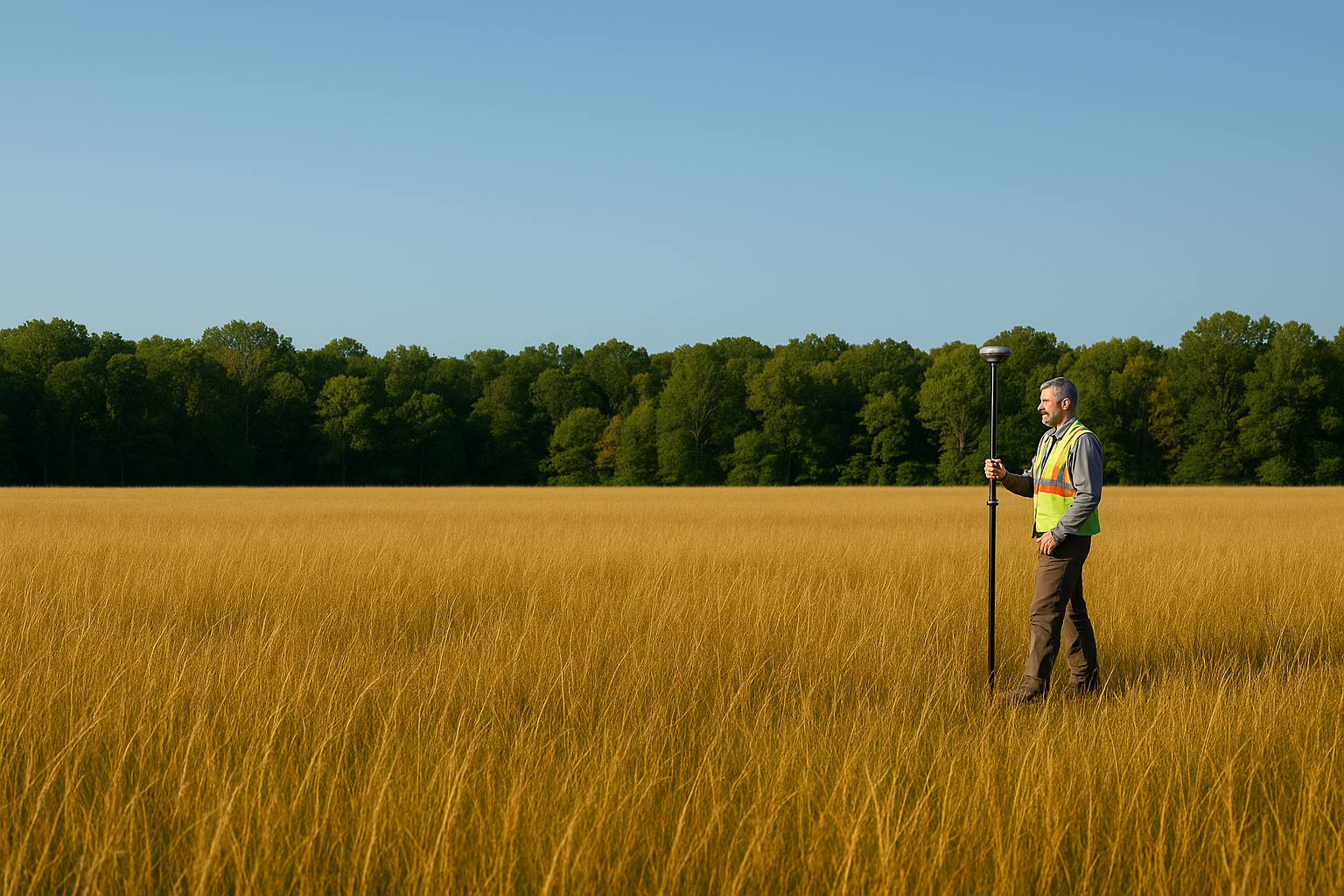
In land surveying, every centimeter matters and every delay costs money. Traditional methods can be slow, expose crews to risk, and fail to capture the whole picture—leading to rework and overruns.
ROCK Robotic provides an end‑to‑end LiDAR and photogrammetry ecosystem—ROCK hardware, ROCK Desktop, and ROCK Cloud— so you capture a dense, centimeter‑accurate digital twin in hours, align to local control, and deliver CAD‑ready surfaces on tight timelines.
Three ways surveyors use ROCK
Topographic mapping
Generate bare‑earth DTMs and contours quickly with repeatable flight lines and QC/QA baked in.
Boundary & control
Tie to control, integrate GCPs/check shots, and document accuracy with clear reports.
CAD‑ready deliverables
Export contours, linework, and surfaces that slip into Civil 3D, MicroStation, and ArcGIS—no cleanup marathons.
Recommended workflow
Capture LiDAR with proper overlap and local control (RTK + PPK).
Field‑check in ROCK Desktop to confirm coverage & trajectory quality.
Process in ROCK Cloud → classify ground, align to control, generate contours.
Order planimetrics or export CAD deliverables directly.
Why survey firms choose ROCK
Survey‑grade accuracy, simplified. Centimeter‑level results with ROCK Ultra (1550 nm, 7 returns) and R3 Pro V2, plus robust control workflows.
True field‑to‑finish. ROCK Desktop (field QC) → ROCK Cloud (processing & sharing) → Surveyor/Planimetrics (deliverables).
Control‑first approach. Support for local datum/zone, GCPs, and check reports that keep reviewers happy.
Dense, clean ground. Deep vegetation penetration for reliable DTMs where photogrammetry alone falls short.
Scale on demand. Lean internal teams can offload to ROCK Pro Services when timelines stack up.
Typical survey deliverables
- Ground‑classified point cloud (LAS/LAZ)
- DTM/DEM & contours (0.25’–2’ or metric)
- Breaklines & hydro‑enforcement (banks, channels, culverts)
- Planimetric linework (EOP, curb/gutter, sidewalks, striping, buildings, utilities, fences, treelines)
- Control & accuracy report (PPK/RTK stats, residuals, check shots)
- Orthomosaic & colorized LiDAR for client visualization
- File formats: DWG/DXF, LandXML, SHP/GPKG, GeoTIFF, CSV.
Solutions for any site
Aerial LiDAR (UAV)
- ROCK Ultra – long‑range, fly‑higher simplicity for large tracts & canopy.
- ROCK R3 Pro V2 – high‑density scans for detail‑heavy sites and corridor topo.
Mobile & Handheld
- ROCK Mobile Mount – fast road/corridor and shoreline mapping.
- ROCK SLAM Dock V2 – GNSS‑denied interiors/exteriors for ALTA/AS‑built support.
Positioning & Corrections
- ROCK Base + RTK Network – triple‑band GNSS, NTRIP corrections, and RINEX for PPK.
Use cases
FAQs
Do I still need terrestrial shots?
Often fewer. Use LiDAR for dense topography and reserve terrestrial/RTK for monuments, utilities, and tight features per scope.
Can I hold my client's local grid?
Yes—apply site localization or a Helmert transformation and export to your requested coordinate system.
What's the best drone?
DJI M300/M350 and Freefly Astro are common; ask us about your platform and payload limits.
How do you prove accuracy?
We supply PPK/RTK stats, strip alignment checks, and independent check‑shot residuals with every DTM delivery.
Can you handle the drafting?
Yes—order ROCK Planimetrics or full Pro Services for turnkey CAD packages.
What accuracy can I expect?
Absolute accuracy (post‑processed): ~1–3 cm horizontal, ~2–3 cm vertical (site & control dependent).
How much area can I capture per day?
Throughput: 20–1,000+ acres/day depending on altitude, sensor, and airframe.
What are typical turnaround times?
Turnarounds: same‑day field QC; CAD deliverables via ROCK Cloud or Pro Services.
Knowledge for Land Surveying
ROCK Robotic Launches Splat Labs: The Professional Gaussian Splat Cloud Platform
Introducing Splat Labs—a cloud platform for hosting, sharing, and collaborating on Gaussian Splat models, plus the new PortalCam spatial camera for capturing photorealistic 3D scenes.
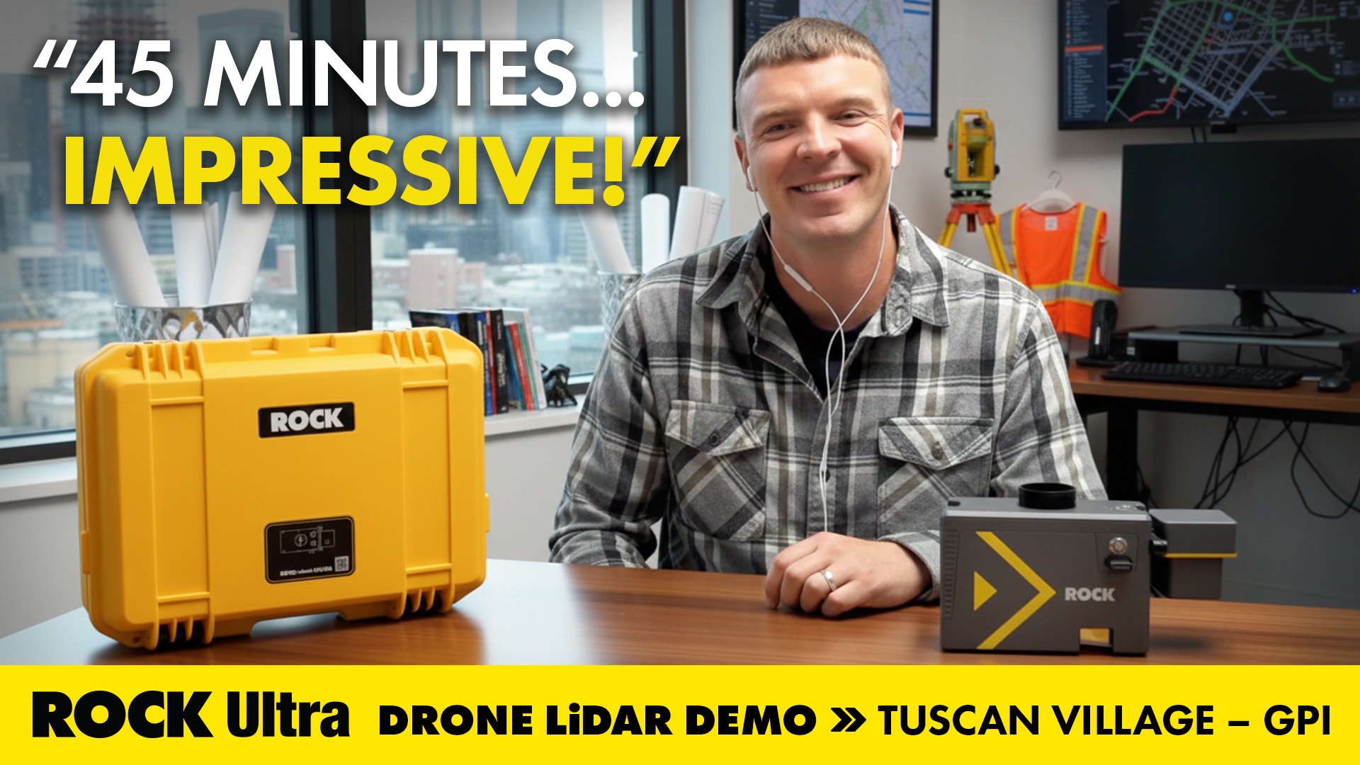
Mapping 360 Acres of Complex Urban Breaklines in 45 Minutes: Inside the ROCK Ultra Tuscan Village Demo
How GPI used the ROCK Ultra LiDAR to scan a 360-acre urban redevelopment in just 45 minutes—and how ROCK Pro Services delivered engineering-ready breaklines through the holiday week.

Save Money on LiDAR in 2025: How Section 179 Cuts Your Costs
Land surveyors and geospatial professionals can leverage Section 179 to write off qualifying LiDAR equipment in 2025—making this the ideal time to upgrade to the latest ROCK Robotic systems.
Mapping an Open-Pit Copper Mine in British Columbia with the ROCK Ultra Drone LiDAR System
Discover how the ROCK Ultra Drone LiDAR safely mapped a large open-pit copper mine in British Columbia from 400 ft AGL—capturing survey-grade data in a single day with unmatched efficiency and safety.
Flying Solo: How a Single Surveyor Used ROCK Ultra Drone LiDAR to Map a Mountain Ski Resort
A single surveyor from British Columbia proves the power of the ROCK Ultra Drone LiDAR system — flying solo at 400 feet to map a Canadian mountain ski resort with precision, speed, and confidence.
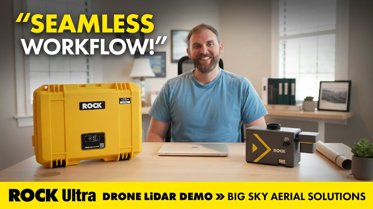
Seamless Aerial LiDAR Workflow for Utility Corridor Powerline Management with the ROCK Ultra
How Big Sky Aerial Solutions used ROCK Ultra drone LiDAR to map utility corridors for vegetation management and reconductoring—flying higher and faster while keeping conductor and guy-wire detail crisp.
Mapping Mudslides: ROCK Ultra LiDAR Supports Fire Recovery at Utah’s Buckley Draw
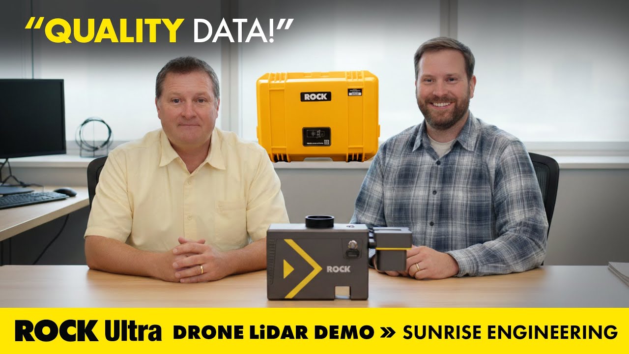
How Sunrise Engineering used ROCK Ultra drone LiDAR to capture critical survey data in Provo’s Buckley Draw after wildfire and mudslide devastation—supporting recovery, risk analysis, and engineering planning.
Drone LiDAR in Action: Mapping Avalanche Paths with ROCK Ultra in Colorado
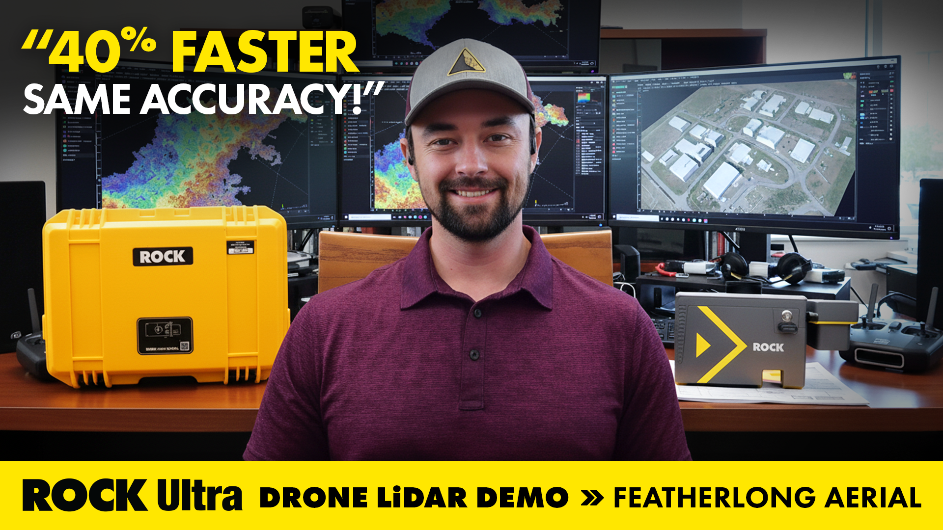
How ROCK Ultra drone LiDAR supported land surveying and aerial 3D mapping during the Demo Tour with Featherlong Aerial — including a full video, dataset gallery, and practical takeaways for field workflows.

ROCK Robotic is Powering Up for the 2026 Energy Drone & Robotics Summit!
Join ROCK Robotic in Houston for the 10th Annual Energy Drone & Robotics Summit. Discover how our LiDAR solutions are transforming asset inspection and management in the energy sector.
ROCK Robotic is Heading to Geo Week 2026 in Denver!
Join ROCK Robotic at Geo Week in Denver! Discover the latest in LiDAR technology, see our industry-leading hardware and software in action, and connect with our team.
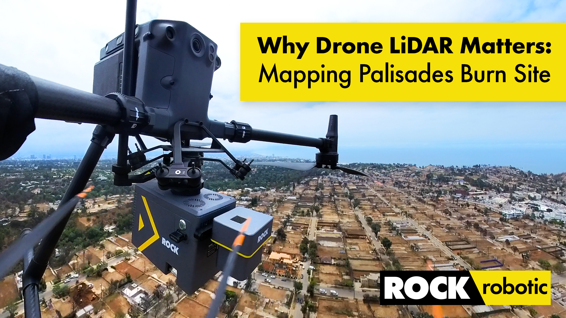
Case Study: Drone LiDAR and Wildfire Recovery – The Palisades Fire
How ROCK Ultra LiDAR helped capture critical data of the Palisades Fire burn area, providing a foundation for rebuilding and wildfire recovery efforts in California.
Elevate Your Job Site: Why Drone LiDAR from ROCK Robotic is the Best Solution for Construction Project Management
Discover how drone LiDAR from ROCK Robotic is revolutionizing construction project management, offering unparalleled precision, safety, and efficiency.
Surveying Hawaii’s Dense Jungle with Aerial LiDAR Mapping: A ROCK Ultra Case Study
Discover how the ROCK Ultra LiDAR system achieved unmatched data quality and efficiency in Hawaii’s challenging terrain, even through dense vegetation and at high altitudes.
Unveiling Hidden Worlds: ROCK Ultra Aerial LiDAR Through Dense Jungle Canopy – ROCK Pro Services Data Walkthrough
Discover how ROCK Ultra LiDAR and ROCK Pro Services cut through dense vegetation to deliver unparalleled survey-grade data, revealing hidden terrain and features with precision.
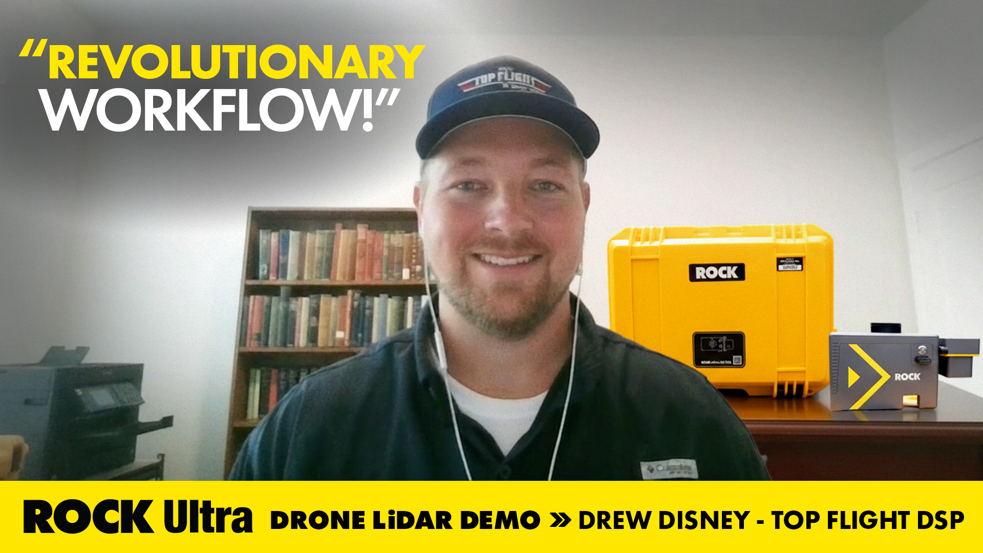
Drone Service Provider Achieves Unprecedented Efficiency with ROCK Ultra LiDAR on 300-Acre Rail Depot Project
Top Flight DSP's Drew Disney utilized the ROCK Ultra LiDAR system to quickly and accurately map a vast rail depot in Beaumont, TX, demonstrating superior efficiency and data quality.

The Advantages of Drone Surveying vs. Traditional Methods
A detailed breakdown of how modern drone LiDAR workflows generate massive ROI by drastically cutting field time, reducing operational costs, and improving data quality compared to traditional methods.
ROCK Ultra LiDAR: 188 Acres Surveyed in 17 Minutes – A Game Changer for D.C. Johnson & Associates
Discover how D.C. Johnson & Associates leveraged the ROCK Ultra LiDAR drone system to survey 188 acres in just 17 minutes, replacing days of manual work and delivering unparalleled accuracy in challenging Florida environments.
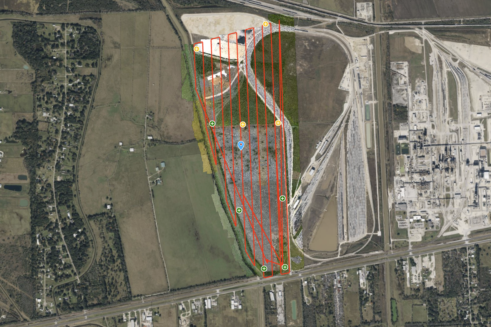
ROCK Ultra – Texas Farmland for Rail Depot Expansion
Explore a 300-acre Texas farmland site, captured for a rail depot expansion project. The ROCK Ultra LiDAR, flying at 120 meters and 5 m/s, delivered a dense, ground-classified point cloud with exceptional efficiency.
Try ROCK Robotic now
Your 3D scanning journey starts here. Download ROCK Desktop or process in ROCK Cloud.