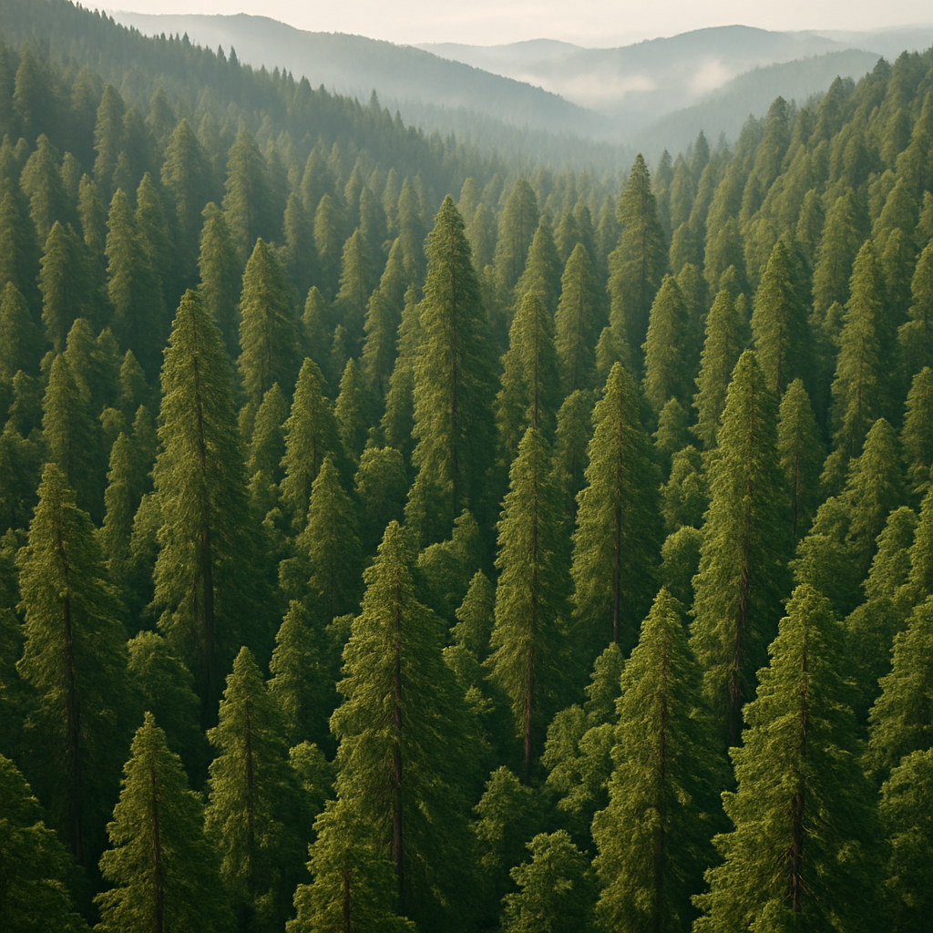
Data that separates canopy from terrain—and signal from noise
Forestry decisions move faster when the data is clear. ROCK LiDAR captures millions of points per second—returning bothground and multiple canopy layers—so you can separate terrain from vegetation, create canopy metrics, and track changewith confidence. From habitat assessments to fuel-load proxies and road planning, your team gets science-ready data andCAD/GIS-ready outputs in one streamlined workflow.
What you can do with ROCK in Forestry
Forestry projects need consistent methods that work across seasons, slopes, and species. Our field-to-finish stack—ROCK Ultra orR3 Pro V2 for capture, ROCK Desktop for on-site QC, and ROCK Cloud for processing—standardizes every step. The result: comparable metricsacross tracts and time, delivered in formats your scientists, planners, and engineers already use.
Canopy height & density
Derive CHM, canopy cover %, gap analysis, and vertical profiles from multi-return LiDAR—ideal for stand structure and habitat modeling.
Bare‑earth terrain models
Generate hydro-enforced DTMs and contours under dense canopy for roads, drainage, and erosion planning.
Habitat & health monitoring
Produce time-series metrics and change maps to support silviculture, restoration, and wildfire-risk programs.
Recommended workflow
Capture multi-return LiDAR during leaf-on or leaf-off (or both) to match your objectives.
Field-check in ROCK Desktop to confirm coverage and point density before you leave.
Process in ROCK Cloud to classify ground/vegetation, compute canopy metrics, and build DTMs/orthos.
Export layers & reports or order advanced deliverables from ROCK Surveyor / Planimetrics.
Typical deliverables for forestry teams
- Ground-classified point cloud (LAS/LAZ) and bare-earth DTM/DEM
- Canopy Height Model (CHM), canopy cover %, gaps, vertical structure profiles
- Contours & hydrologic layers (flow paths, sinks, watershed boundaries)
- Orthomosaic & colorized LiDAR for context and communication
- Road/landing planning layers and slope/aspect rasters
- Change detection (canopy loss/gain, disturbance, harvest blocks)
- Habitat suitability inputs (terrain + canopy derivatives)
- File formats: GeoTIFF, SHP/GPKG, DWG/DXF, LandXML, CSV, LAS/LAZ.
Why forestry groups choose ROCK
True bare-earth under canopy with high return counts and precise classification.
Repeatable methods that scale from 100-acre stands to multi-million-acre programs.
Integrated tools: Desktop field QC, Cloud processing, one-click deliverables.
Flexible capture: UAV, mobile, and SLAM options for remote or GNSS-denied areas.
Team extension: Offload surge work to ROCK Pro Services without losing momentum.
Use cases
What to expect
- Accuracy (post-processed): ~1–3 cm horizontal, ~2–3 cm vertical (control & site dependent)
- Point spacing: Often 3–10 cm at common forestry altitudes; denser for targeted areas
- Turnaround: Same-day field QC; Cloud processing and downloads within project scope
FAQs
Leaf-on or leaf-off?
Both work—leaf-off favors terrain, leaf-on improves canopy metrics. Many programs acquire both for a complete picture.
Do you provide biomass/carbon?
We deliver foundational LiDAR metrics (height, cover, structure). Biomass/carbon estimates are produced by applying regional allometric models—our team can help align to your standards.
How do you prove accuracy?
PPK/RTK stats, strip alignment checks, and independent check-point residuals are included with surface deliverables.
Can you map remote terrain safely?
Yes—UAV + mobile workflows reduce boots-on-ground time and improve access to steep or sensitive areas.
Knowledge for Forestry

Save Money on LiDAR in 2025: How Section 179 Cuts Your Costs
Land surveyors and geospatial professionals can leverage Section 179 to write off qualifying LiDAR equipment in 2025—making this the ideal time to upgrade to the latest ROCK Robotic systems.
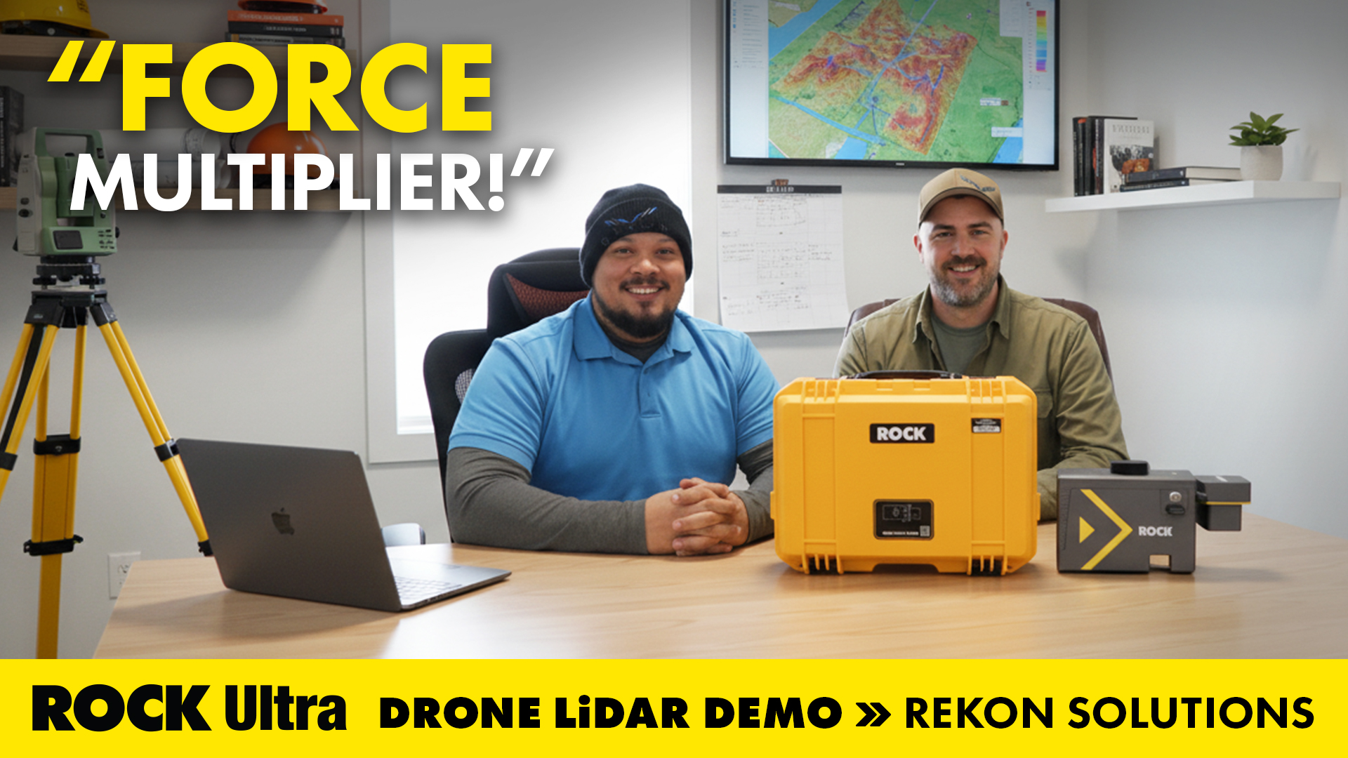
Flying Solo: How a Single Surveyor Used ROCK Ultra Drone LiDAR to Map a Mountain Ski Resort
A single surveyor from British Columbia proves the power of the ROCK Ultra Drone LiDAR system — flying solo at 400 feet to map a Canadian mountain ski resort with precision, speed, and confidence.

ROCK Robotic is Powering Up for the 2026 Energy Drone & Robotics Summit!
Join ROCK Robotic in Houston for the 10th Annual Energy Drone & Robotics Summit. Discover how our LiDAR solutions are transforming asset inspection and management in the energy sector.
Surveying Hawaii’s Dense Jungle with Aerial LiDAR Mapping: A ROCK Ultra Case Study
Discover how the ROCK Ultra LiDAR system achieved unmatched data quality and efficiency in Hawaii’s challenging terrain, even through dense vegetation and at high altitudes.
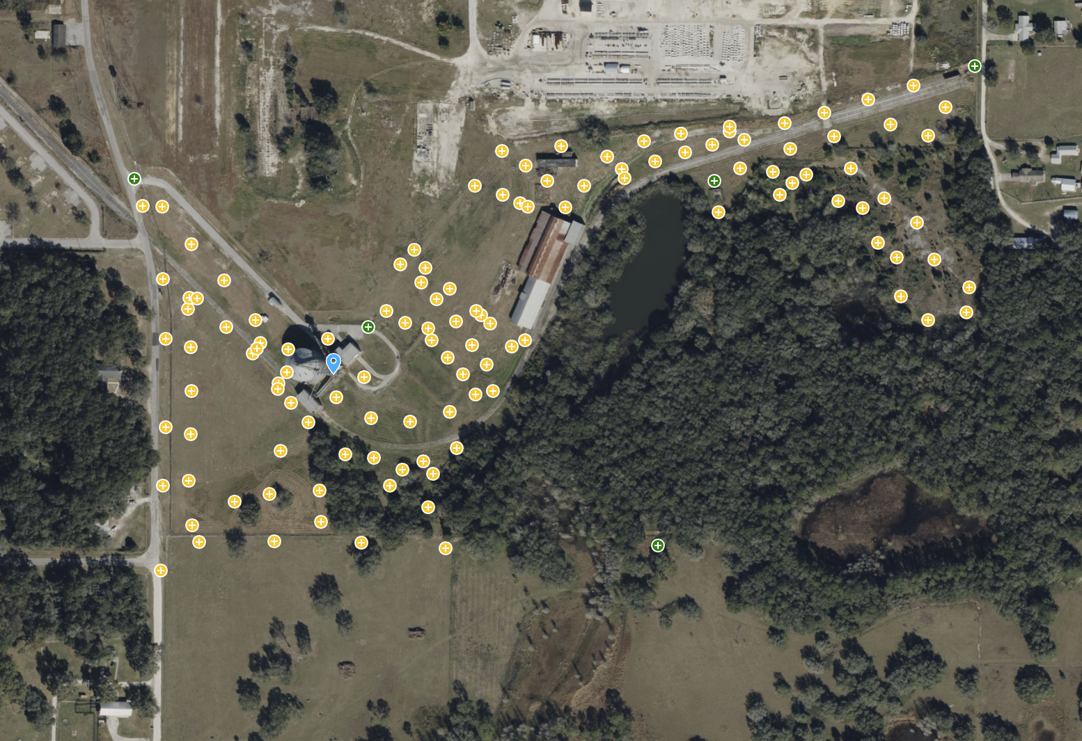
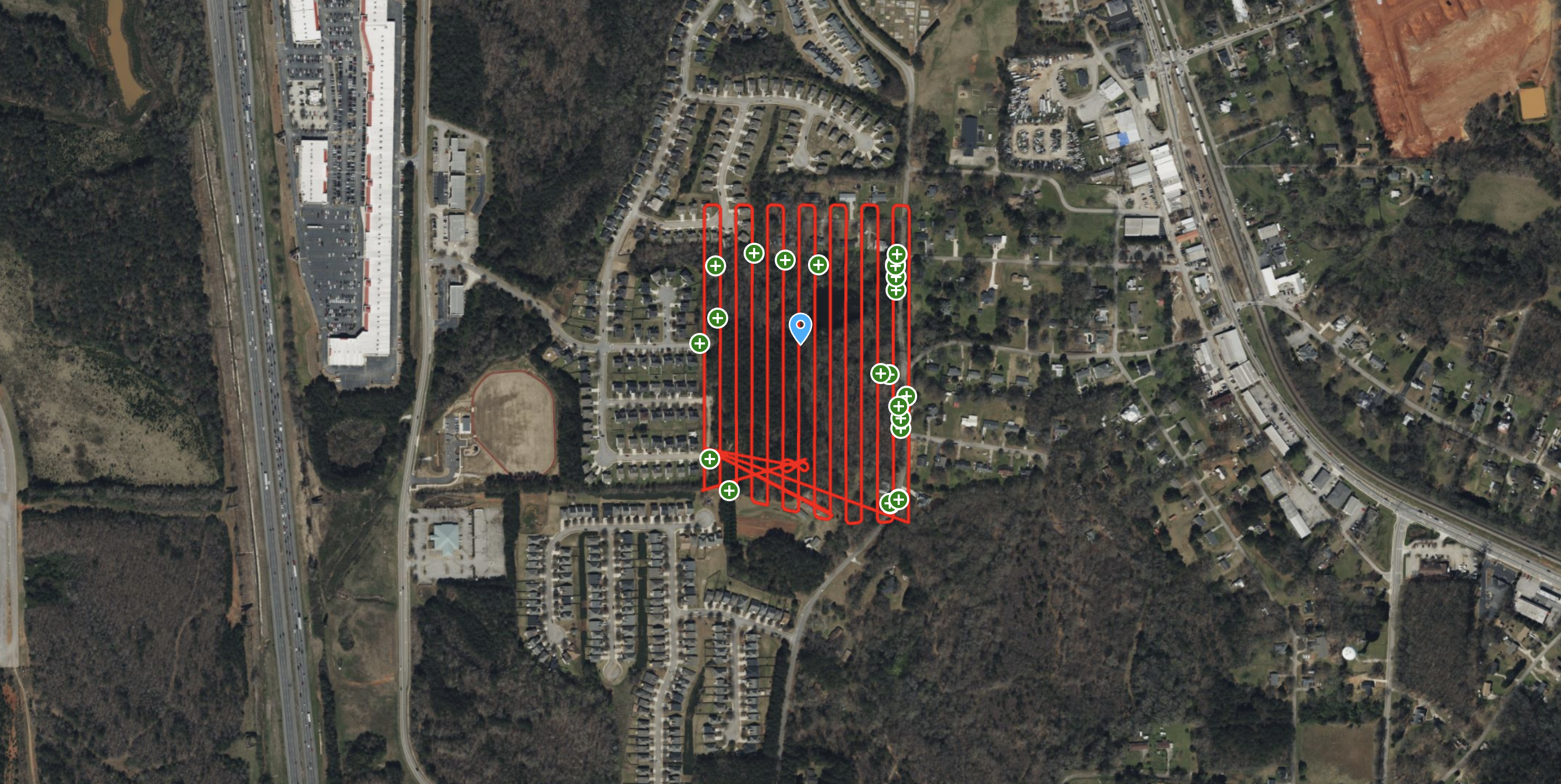
ROCK Ultra – Bower Road Survey
This 188-acre dataset, captured in just 17 minutes, showcases the ROCK Ultra's unparalleled ability to penetrate dense Florida vegetation and map rugged terrain with creek beds and steep slopes.
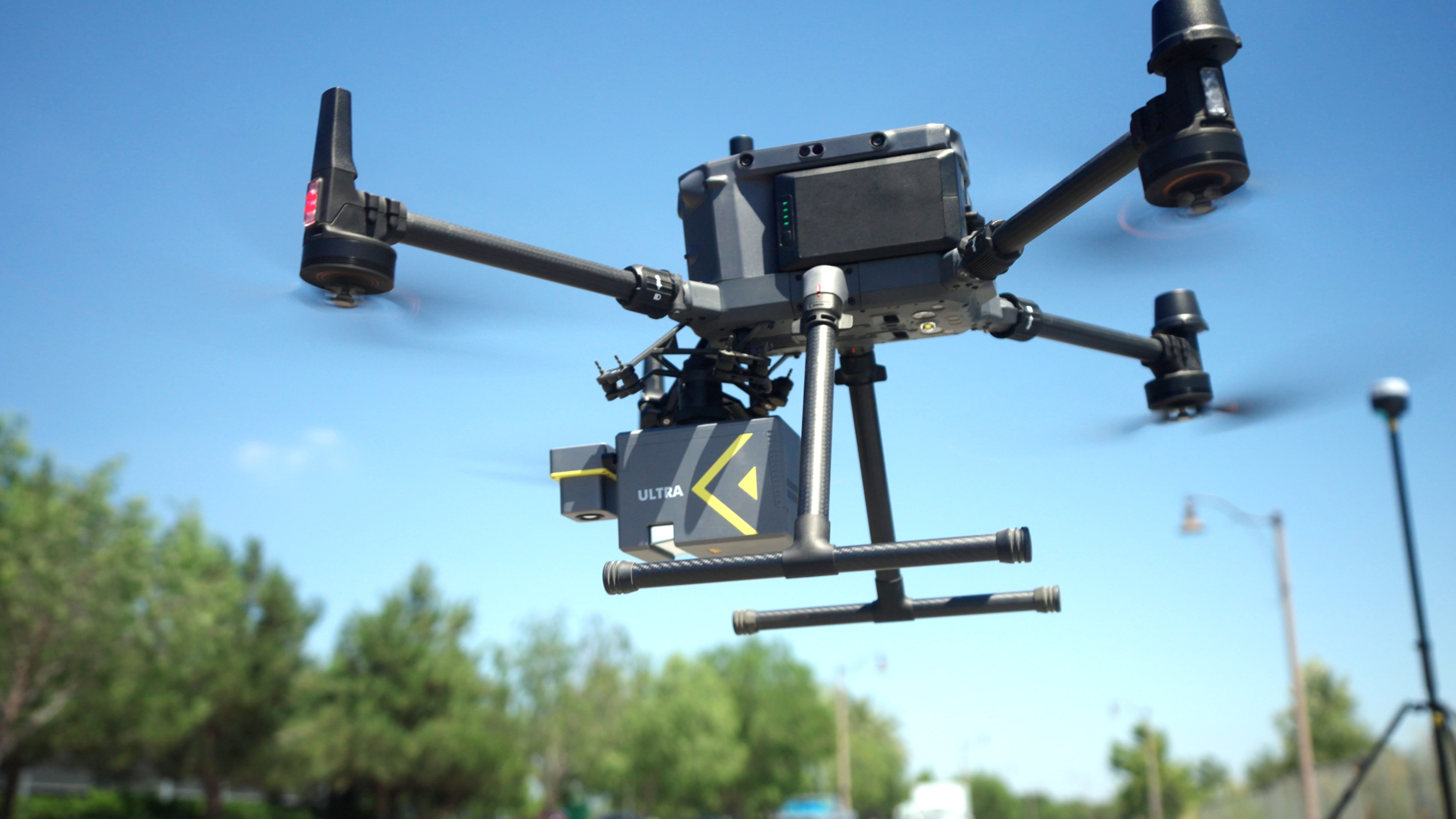
ROCK Robotic Unveils ROCK Ultra LiDAR, Enabling Surveyors to Map 2-3x More Area Per Flight
The new ROCK Ultra LiDAR system revolutionizes large-scale aerial surveying with a powerful long-range sensor and an "Easy Button" workflow, allowing professionals to fly higher and faster without sacrificing data quality.
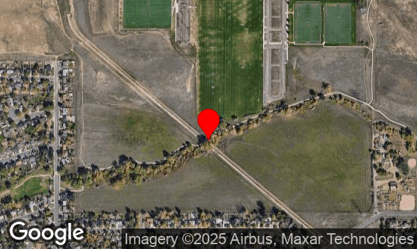
ROCK Ultra – Van Bibber Creek (120m, 5 m/s)
Testing the ROCK Ultra’s canopy penetration and ground detail capture at Van Bibber Creek.

R3 V2 Van Bibber Creek
Showing off the R3 Vegetation Penetration.
ROCK R3 Pro V2 – High-Accuracy LiDAR Survey in Dense Georgia Vegetation
Discover how the ROCK R3 Pro V2 achieved survey-grade accuracy of 0.089 ft RMS on a 37-acre site with dense vegetation, validated by a registered survey firm.
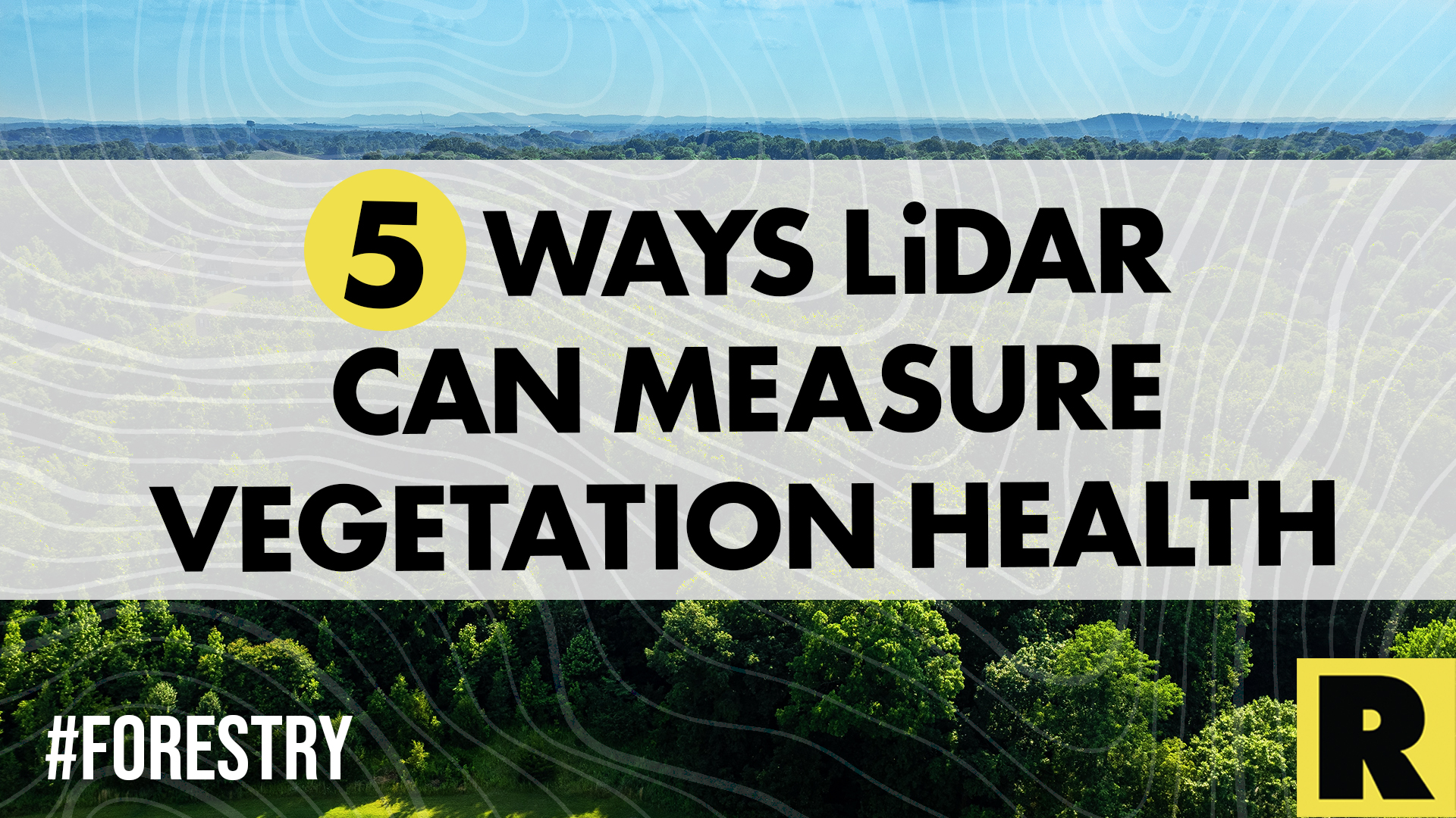
5 Ways LiDAR Can Measure Vegetation Health in the Forestry Industry
In the world of forestry, LiDAR is an efficient way to get a quick read on the health of an area's vegetation.
Try ROCK Robotic now
Your 3D scanning journey starts here. Download ROCK Desktop or process in ROCK Cloud.