Environmental Research
High‑resolution measurements for field science—terrain, vegetation, and surface change at scale.
Canopy structure & biomass
Quantitative metrics derived from dense point clouds.
Erosion & hydrology
Quantitative metrics derived from dense point clouds.
Change detection
Quantitative metrics derived from dense point clouds.
Recommended workflow
- Capture multi‑season LiDAR campaigns for temporal analysis.
- Process in ROCK Cloud for terrain/canopy metrics and QA.
- Export rasters, vector products, and metrics for analysis.
Knowledge for Environmental Research
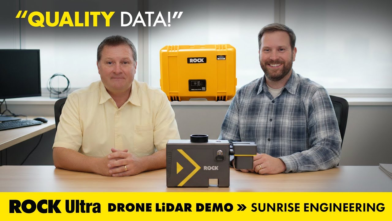
Mapping Mudslides: ROCK Ultra LiDAR Supports Fire Recovery at Utah’s Buckley Draw
How Sunrise Engineering used ROCK Ultra drone LiDAR to capture critical survey data in Provo’s Buckley Draw after wildfire and mudslide devastation—supporting recovery, risk analysis, and engineering planning.
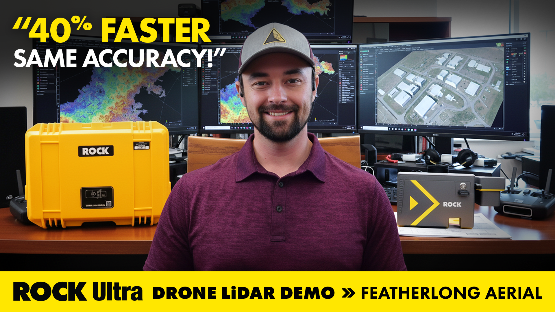
Drone LiDAR in Action: Mapping Avalanche Paths with ROCK Ultra in Colorado
How ROCK Ultra drone LiDAR supported land surveying and aerial 3D mapping during the Demo Tour with Featherlong Aerial — including a full video, dataset gallery, and practical takeaways for field workflows.
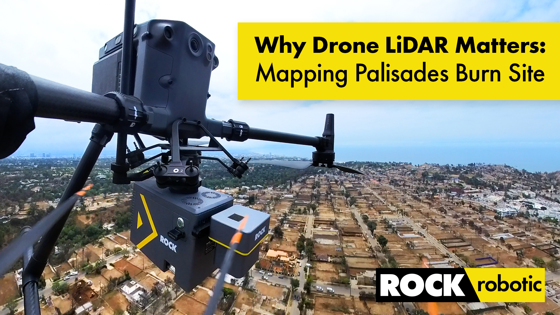
Case Study: Drone LiDAR and Wildfire Recovery – The Palisades Fire
How ROCK Ultra LiDAR helped capture critical data of the Palisades Fire burn area, providing a foundation for rebuilding and wildfire recovery efforts in California.
Surveying Hawaii’s Dense Jungle with Aerial LiDAR Mapping: A ROCK Ultra Case Study
Discover how the ROCK Ultra LiDAR system achieved unmatched data quality and efficiency in Hawaii’s challenging terrain, even through dense vegetation and at high altitudes.
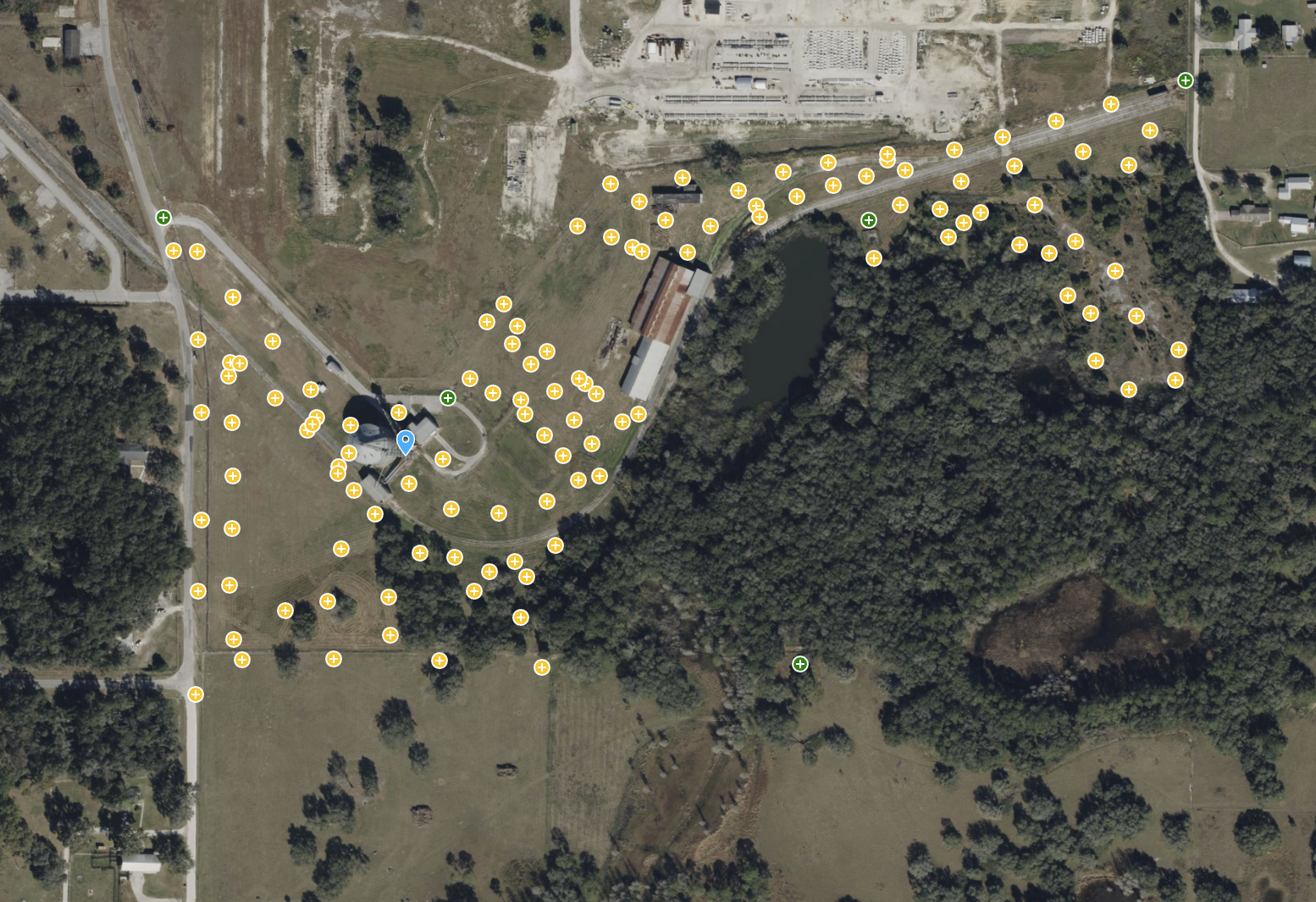
ROCK Ultra – Bower Road Survey
This 188-acre dataset, captured in just 17 minutes, showcases the ROCK Ultra's unparalleled ability to penetrate dense Florida vegetation and map rugged terrain with creek beds and steep slopes.
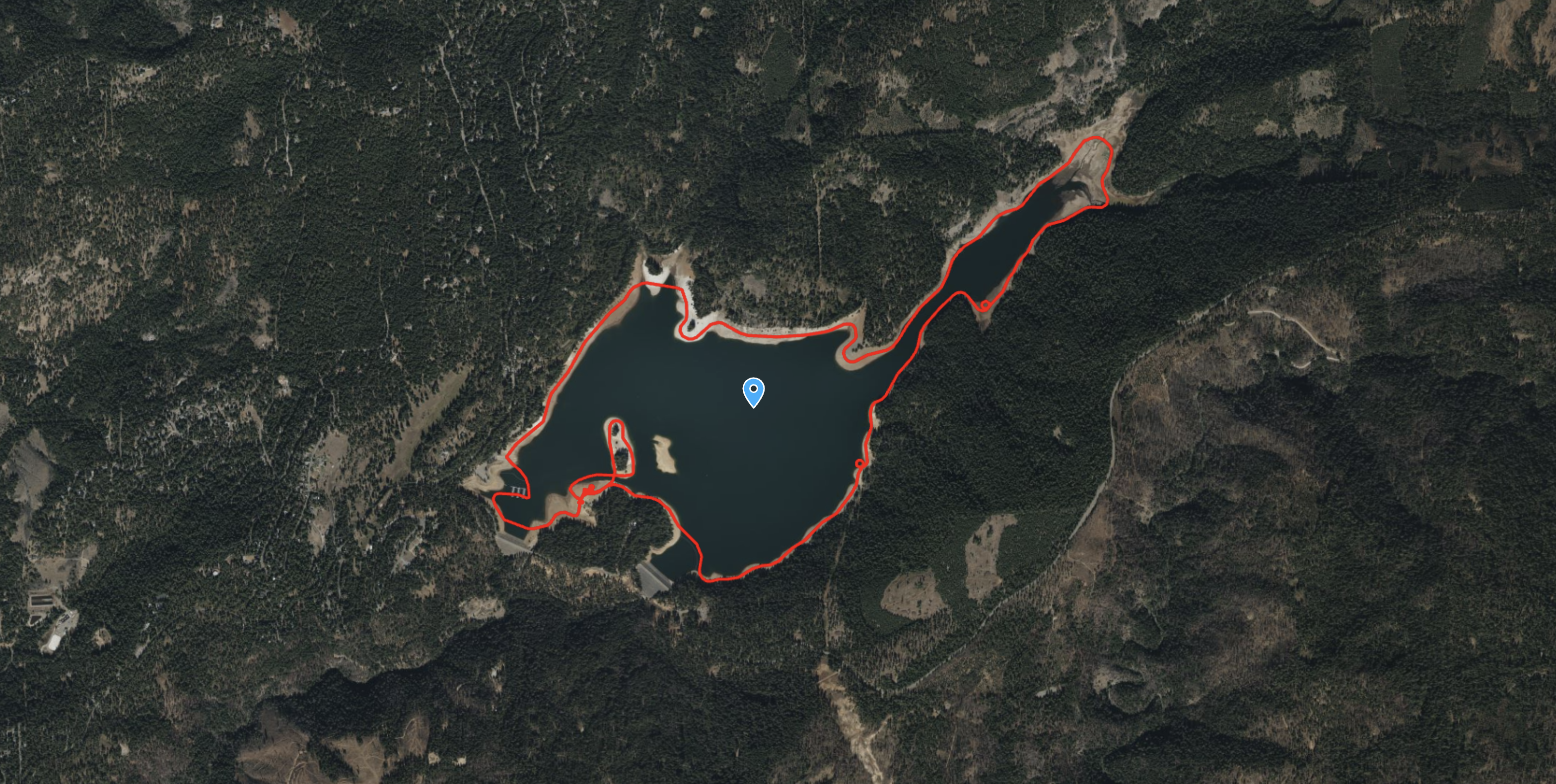
ROCK R3 Pro – Mobile Marine LiDAR Survey of Lake Coastline
Witness a unique application of the ROCK R3 Pro, mounted on a pontoon boat to capture 199 acres of the Jenkinson Lake coastline with mobile mapping technology.
Try ROCK Robotic now
Your 3D scanning journey starts here. Download ROCK Desktop or process in ROCK Cloud.