Archeology
Revealing the Past with the Precision of the Present.
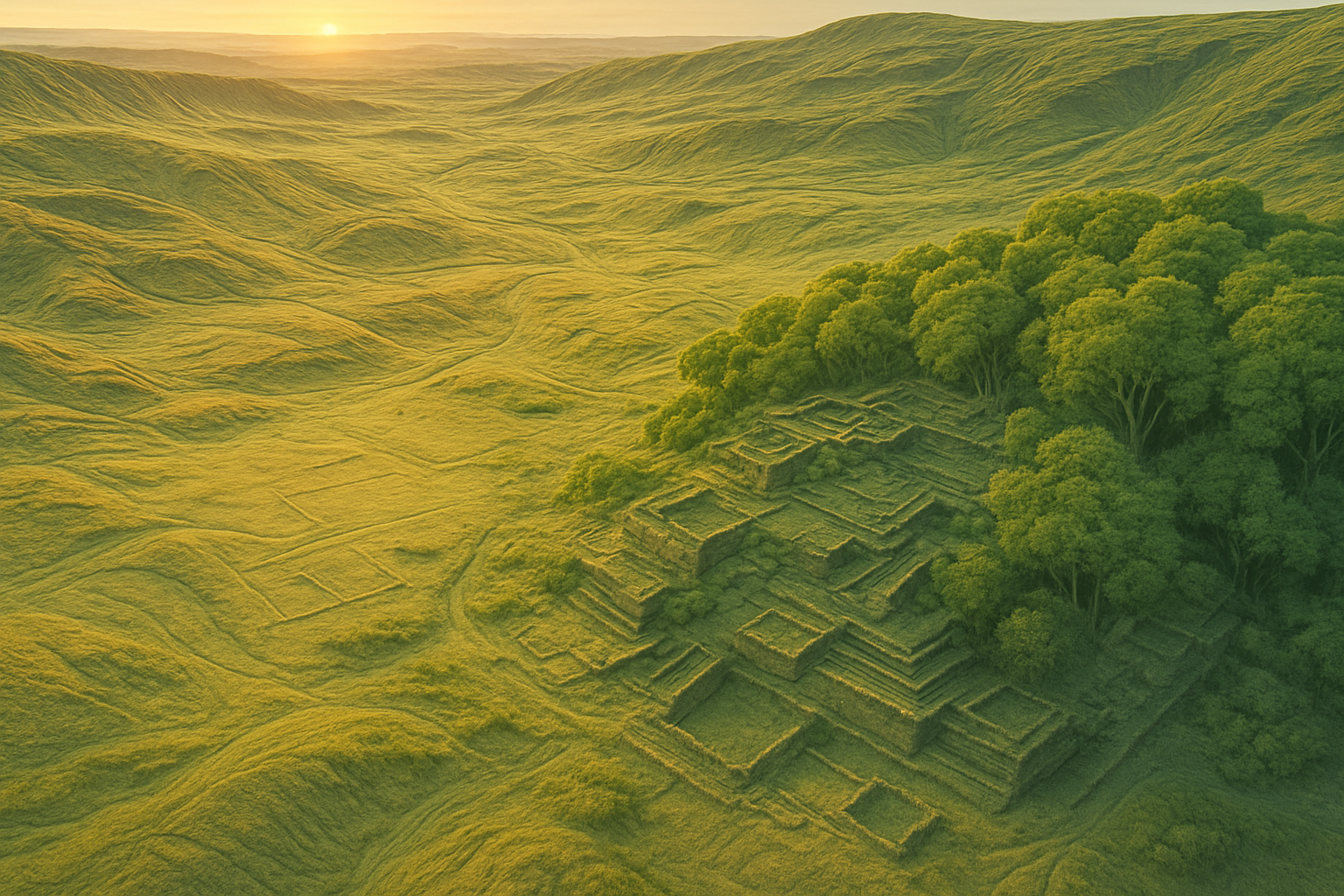
Detect ancient structures and landscapes with bare‑earth models derived from high‑density LiDAR.
Reveal hidden landscapes without excavation
Archaeological landscapes often hide in plain sight beneath dense vegetation and subtle micro‑relief. Traditional surveys can miss these faint signatures. ROCK Robotic’s LiDAR penetrates canopy and captures centimeter‑level terrain detail to reveal mounds, walls, roadbeds, and buried foundations without disturbing the site.
With ROCK Ultra and R3 Pro V2 hardware, ROCK Desktop for field QC, and ROCK Cloud processing, teams locate, map, and preserve sites non‑invasively—producing bare‑earth DTMs, hillshades, and GIS/CAD layers ready for research and heritage management.
Three ways archeologists use ROCK
Vegetation penetration
See through dense canopy to reveal ancient structures, mounds, walls, and roads hidden for centuries.
Subtle terrain features
Detect minimal elevation changes—sometimes just centimeters—that indicate buried foundations or earthworks.
Site discovery & documentation
Map and document sites in high detail to aid research, conservation, and heritage management.
Recommended workflow
Low-altitude flight planning for maximum point density and canopy penetration.
Field QC in ROCK Desktop to ensure coverage and resolution before leaving the site.
Process in ROCK Cloud to classify ground and produce bare-earth DTMs, hillshades, and 3D visualizations.
Export GIS/CAD layers for interpretation, publication, or heritage archives.
Why archaeologists choose ROCK
Non-invasive exploration: Avoids disturbing sensitive sites while collecting detailed mapping data.
Exceptional canopy penetration: ROCK Ultra and R3 Pro V2 reveal the ground under thick forests.
High resolution for fine detail: Detects features that photogrammetry and satellite imagery miss.
Portable & adaptable: Equipment deploys in remote environments by drone, vehicle, or handheld SLAM.
End-to-end workflow: From field capture to GIS-ready data and visualizations in ROCK Cloud.
Typical deliverables
- Bare-earth DTM/DEM showing sub-meter features
- Hillshade visualizations highlighting surface relief
- Classified point cloud (ground, vegetation, structures)
- Contour maps for terrain analysis
- Orthomosaic imagery for context and presentation
- 3D surface models for interpretation and sharing
- Georeferenced GIS layers for academic and government archives
- File formats: LAS/LAZ, GeoTIFF, SHP, GPKG, DWG/DXF, LandXML
Solutions for archaeological mapping
Aerial LiDAR (UAV)
- ROCK Ultra – Maximum canopy penetration and long-range capture.
- R3 Pro V2 – High-density, survey-grade mapping for detailed analysis.
Mobile & Handheld
- ROCK SLAM Dock V2 – GNSS-denied mapping in caves, ruins, and interior structures.
Positioning & Control
- ROCK Base + RTK Network – Accurate georeferencing for local or global coordinate systems.
Conservation benefits
- Protects heritage sites by reducing the need for destructive excavation.
- Informs excavation planning by identifying priority areas.
- Aids in monitoring site changes over time for preservation programs.
- Supports CRM and compliance with UNESCO, SHPO, and local heritage laws.
Use cases
What to expect
- Absolute accuracy (post-processed): ~1–3 cm horizontal, ~2–3 cm vertical
- Flight altitudes: 50–120m AGL for optimal resolution
- Output resolution: Down to 1–2 cm point spacing in targeted surveys
FAQs
Can LiDAR really see through trees?
Yes—ROCK Ultra and R3 Pro V2 use laser wavelengths and multiple returns to capture the ground under thick canopy.
Do I need ground control points?
For maximum accuracy, especially for academic publication or conservation records, yes.
What software do I need to view results?
You can view and analyze results in ROCK Cloud or export to GIS/CAD software of your choice.
Can you survey in remote areas?
Yes—our systems are lightweight, portable, and drone-compatible for challenging environments.
Knowledge for Archeology
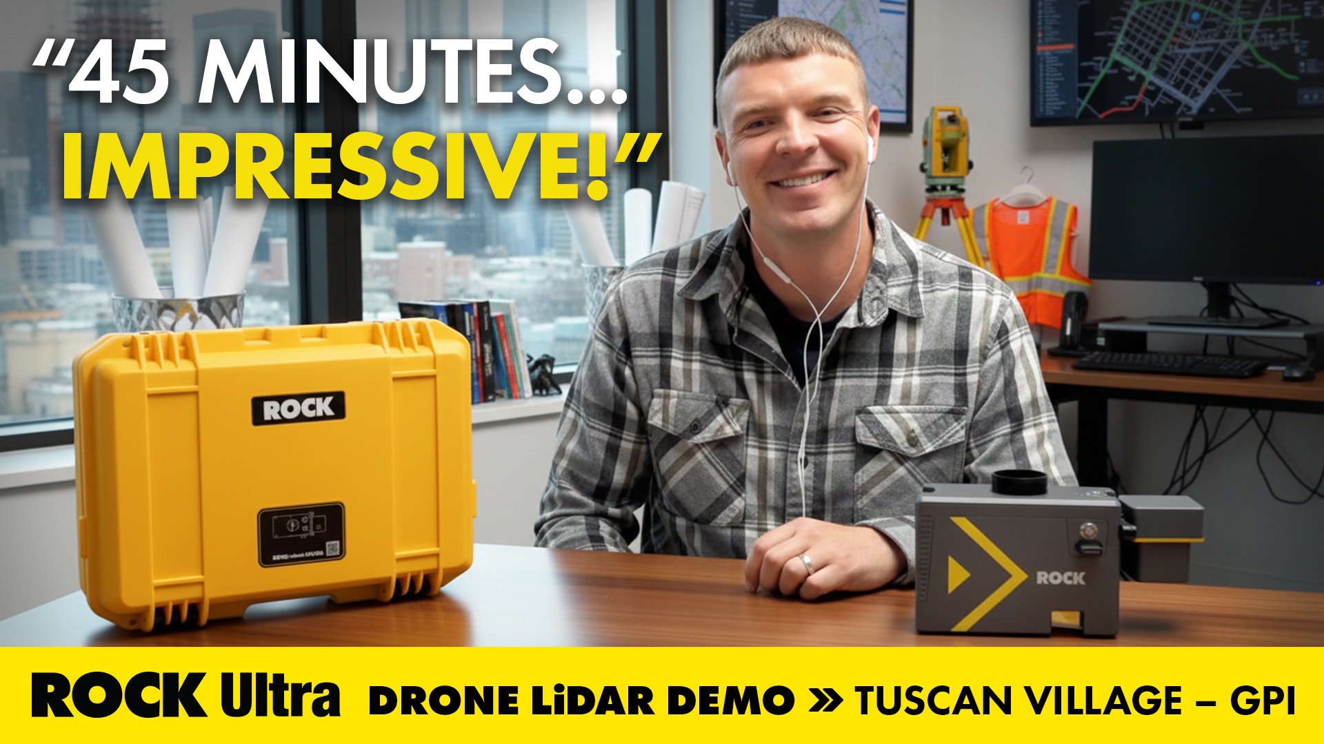
Mapping 360 Acres of Complex Urban Breaklines in 45 Minutes: Inside the ROCK Ultra Tuscan Village Demo
How GPI used the ROCK Ultra LiDAR to scan a 360-acre urban redevelopment in just 45 minutes—and how ROCK Pro Services delivered engineering-ready breaklines through the holiday week.
Elevate Your Job Site: Why Drone LiDAR from ROCK Robotic is the Best Solution for Construction Project Management
Discover how drone LiDAR from ROCK Robotic is revolutionizing construction project management, offering unparalleled precision, safety, and efficiency.
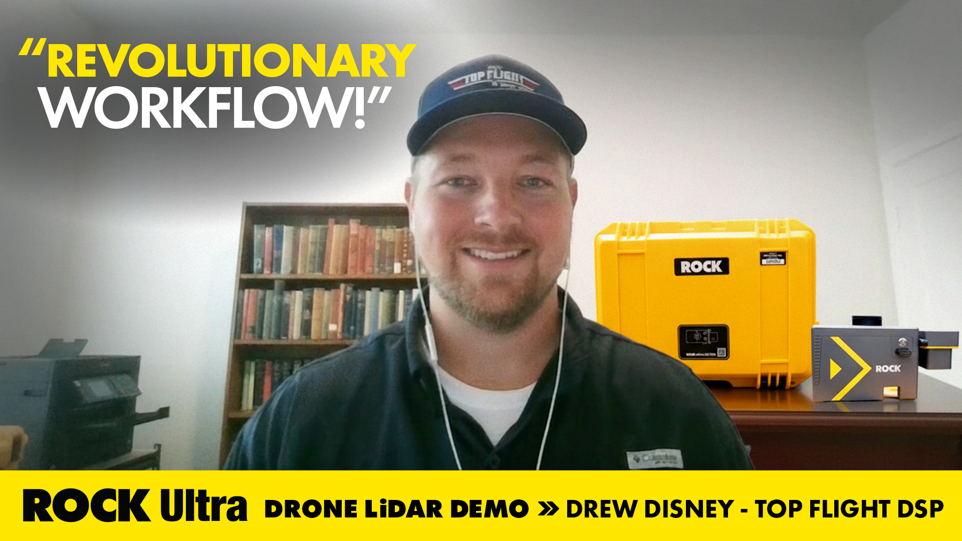
Drone Service Provider Achieves Unprecedented Efficiency with ROCK Ultra LiDAR on 300-Acre Rail Depot Project
Top Flight DSP's Drew Disney utilized the ROCK Ultra LiDAR system to quickly and accurately map a vast rail depot in Beaumont, TX, demonstrating superior efficiency and data quality.

The Advantages of Drone Surveying vs. Traditional Methods
A detailed breakdown of how modern drone LiDAR workflows generate massive ROI by drastically cutting field time, reducing operational costs, and improving data quality compared to traditional methods.
ROCK Ultra LiDAR: 188 Acres Surveyed in 17 Minutes – A Game Changer for D.C. Johnson & Associates
Discover how D.C. Johnson & Associates leveraged the ROCK Ultra LiDAR drone system to survey 188 acres in just 17 minutes, replacing days of manual work and delivering unparalleled accuracy in challenging Florida environments.
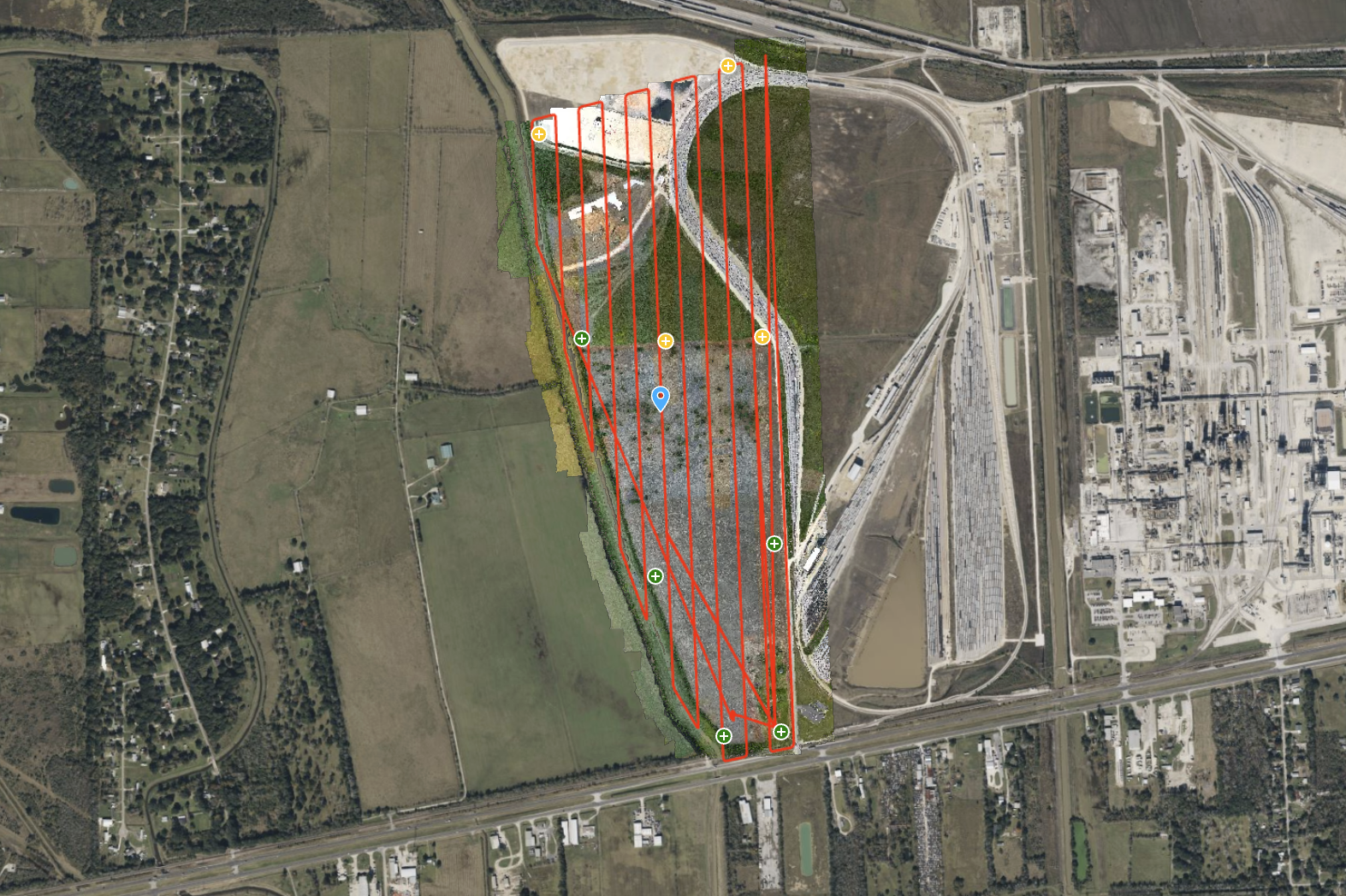
ROCK Ultra – Texas Farmland for Rail Depot Expansion
Explore a 300-acre Texas farmland site, captured for a rail depot expansion project. The ROCK Ultra LiDAR, flying at 120 meters and 5 m/s, delivered a dense, ground-classified point cloud with exceptional efficiency.
Fly Higher, Finish Faster: How Florida Design Consultants Mapped 500+ Acres in One Flight with ROCK Ultra
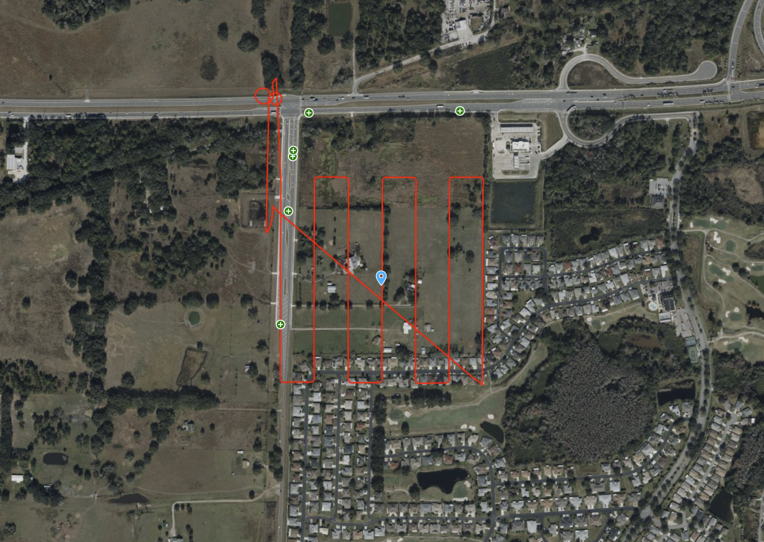
Discover how Florida Design Consultants, Inc. used the ROCK Ultra to survey a complex 500+ acre residential site in a single 70-minute flight, saving days of fieldwork and revolutionizing their workflow.
ROCK Ultra – Bower Road Survey
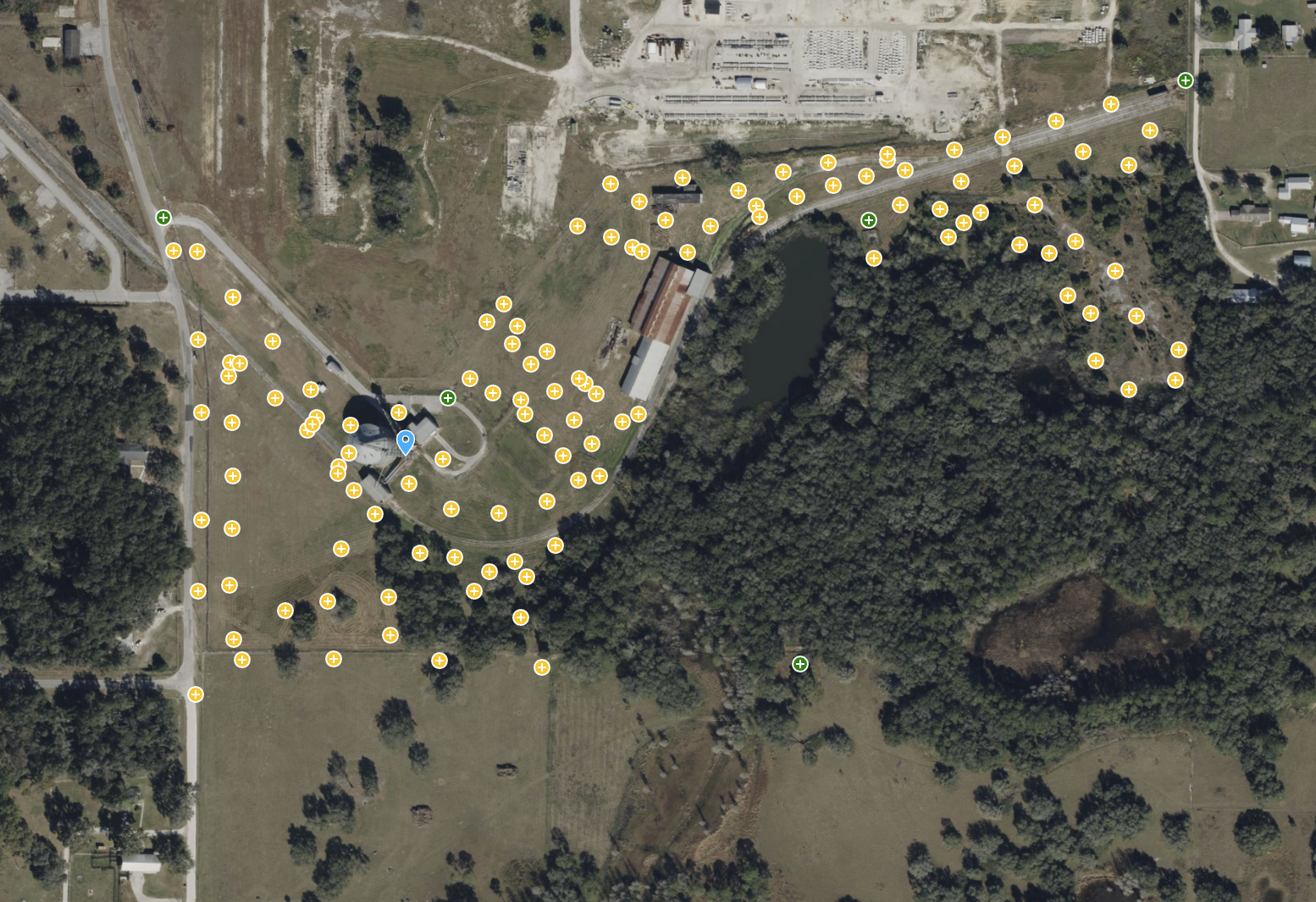
This 188-acre dataset, captured in just 17 minutes, showcases the ROCK Ultra's unparalleled ability to penetrate dense Florida vegetation and map rugged terrain with creek beds and steep slopes.
ROCK Ultra – Stillwell Construction Site
Experience the ROCK Ultra's power in capturing a 77-acre construction site with tall industrial structures from over 120m. This dataset highlights safe, high-speed data acquisition over complex environments.
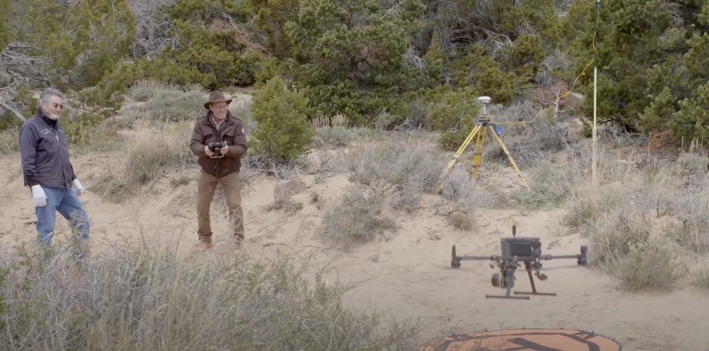
How the ROCK R3 Pro Helped “Mystery at Blind Frog Ranch” See Beneath the Surface
The ROCK R3 Pro LiDAR made its Discovery Channel debut on "Mystery at Blind Frog Ranch," helping geologists scan hidden fault lines and terrain in stunning detail. See how this versatile, survey-grade scanner played a key role in exploring the unknown.
ROCK Ultra – Zephyrhills Residential Development
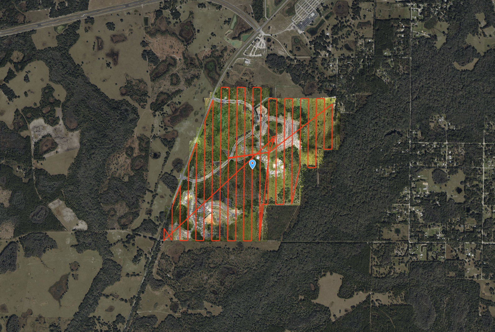
Flying at 120 m and 8 m/s, the ROCK Ultra mapped a massive 546-acre multi-phase development in Zephyrhills, FL, capturing wetlands, dense vegetation, and construction zones with precision.
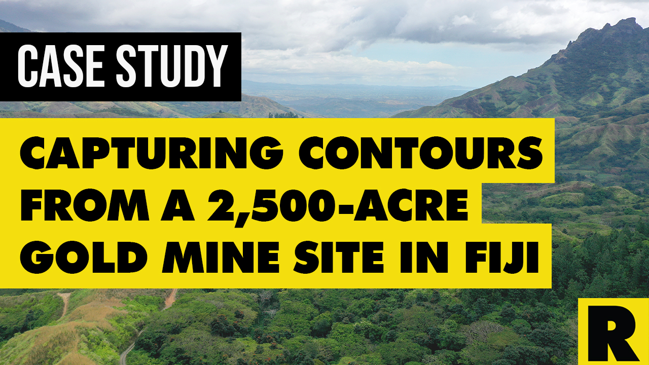
Case Study: Drone Services Provider Navigates a 2,500-Acre Gold Mine Site in Fiji with ROCK LiDAR
Kahuto Pacific was hired by a Canadian mining company to provide topographic, aerial LiDAR for a 2,500-acre (1,000-hectare) property.
Try ROCK Robotic now
Your 3D scanning journey starts here. Download ROCK Desktop or process in ROCK Cloud.