The 'Easy Button' for Pro LiDAR.
Fly higher and faster, covering 2-3x more ground per flight while penetrating the densest vegetation to capture the true ground.
Experience the ROCK Ultra in 3D
Explore every detail of our flagship long-range LiDAR system
360° View
Rotate to explore
Full Detail
Zoom for close-ups
Interactive
Click and drag
Get the Complete Technical Specifications
Download our comprehensive spec guide for detailed technical information, performance metrics, and comparison charts.
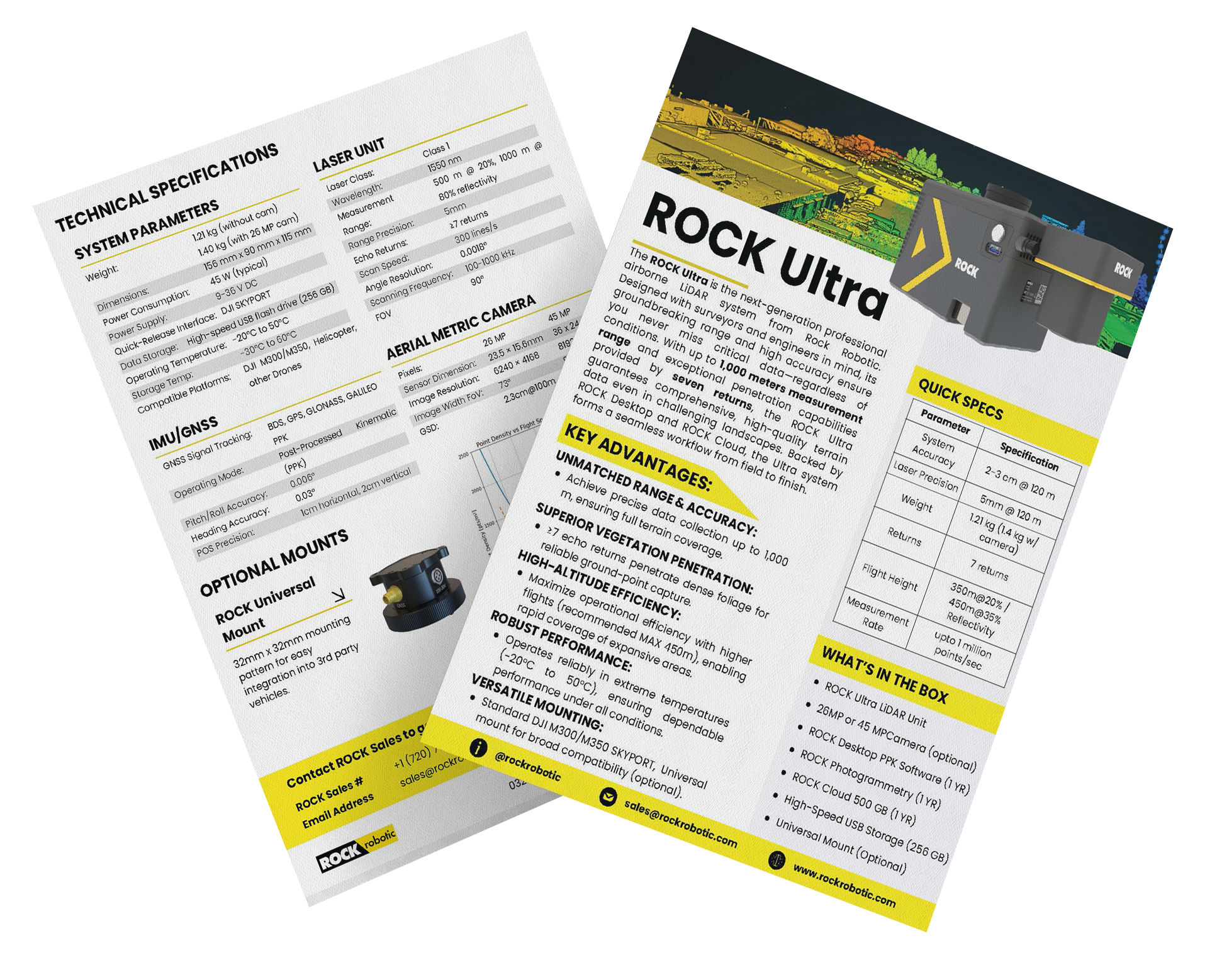
ROCK Ultra Spec Guide
- Complete technical specifications
- Performance comparison charts
- Aerial metric camera options
- Optional mounts and accessories
PDF format • 2 pages • No email required
1-2 cm
Post-Processed Accuracy
1000m
Effective Range
7
Returns Per Pulse
1.4 kg
Weight w/ Camera
1M
Points/sec
450m
Max Altitude (AGL)
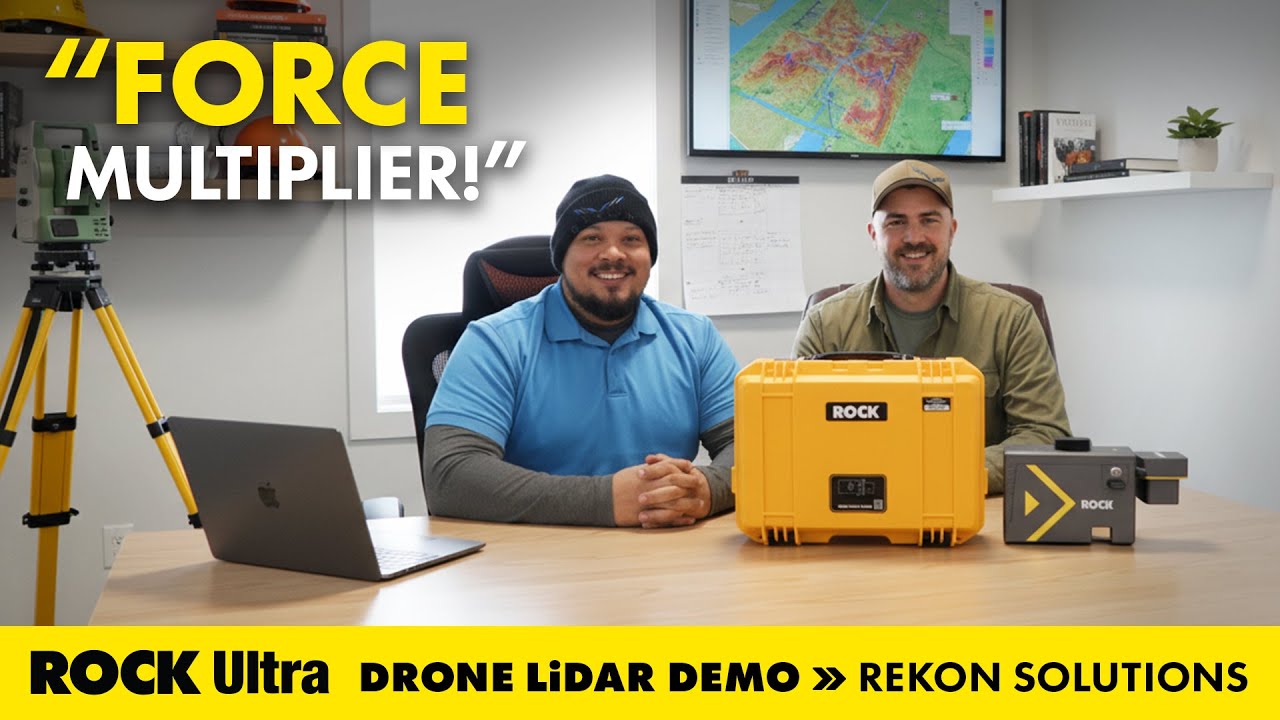
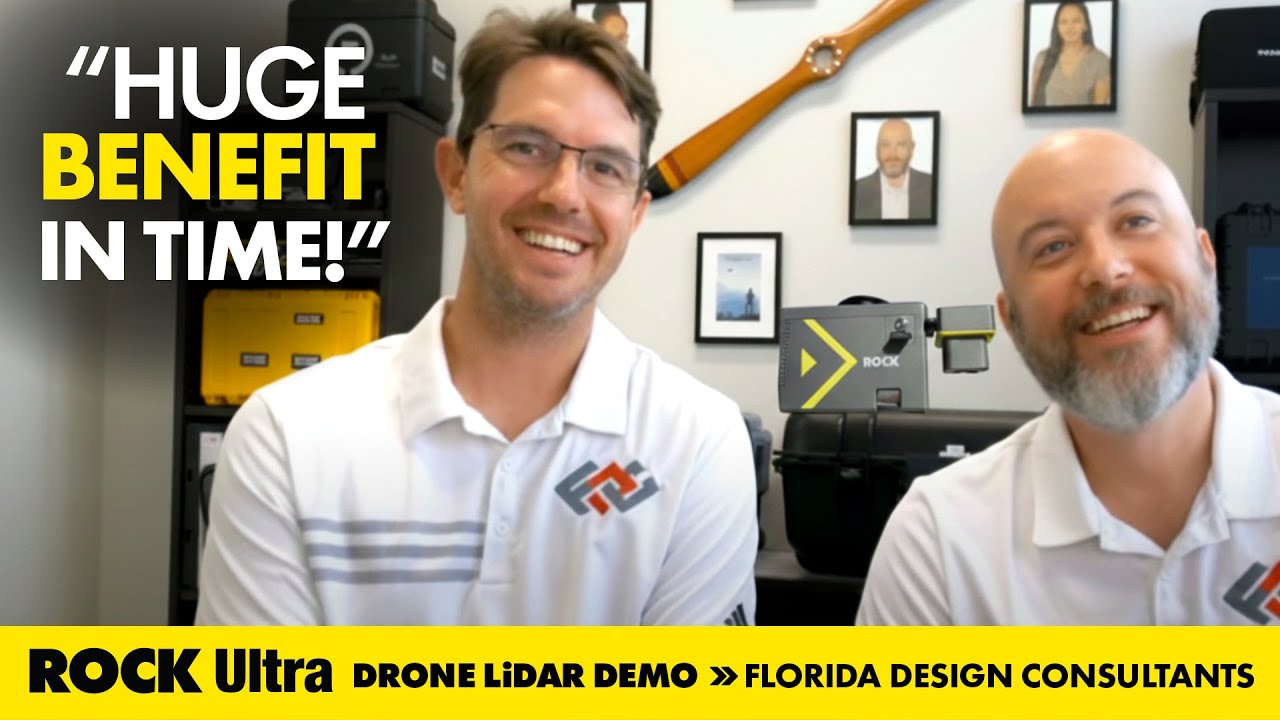
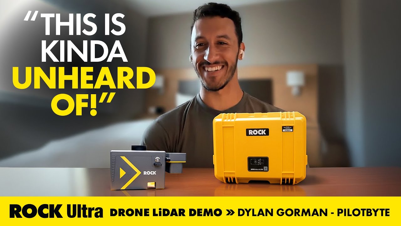
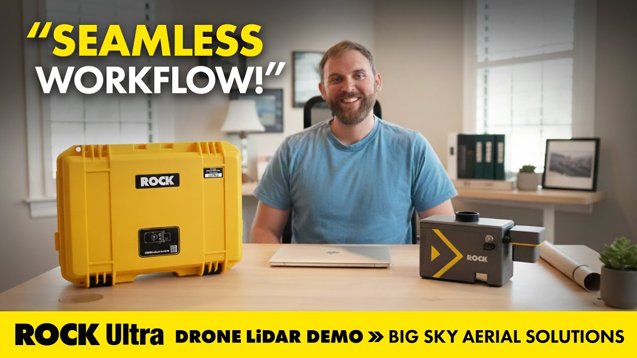
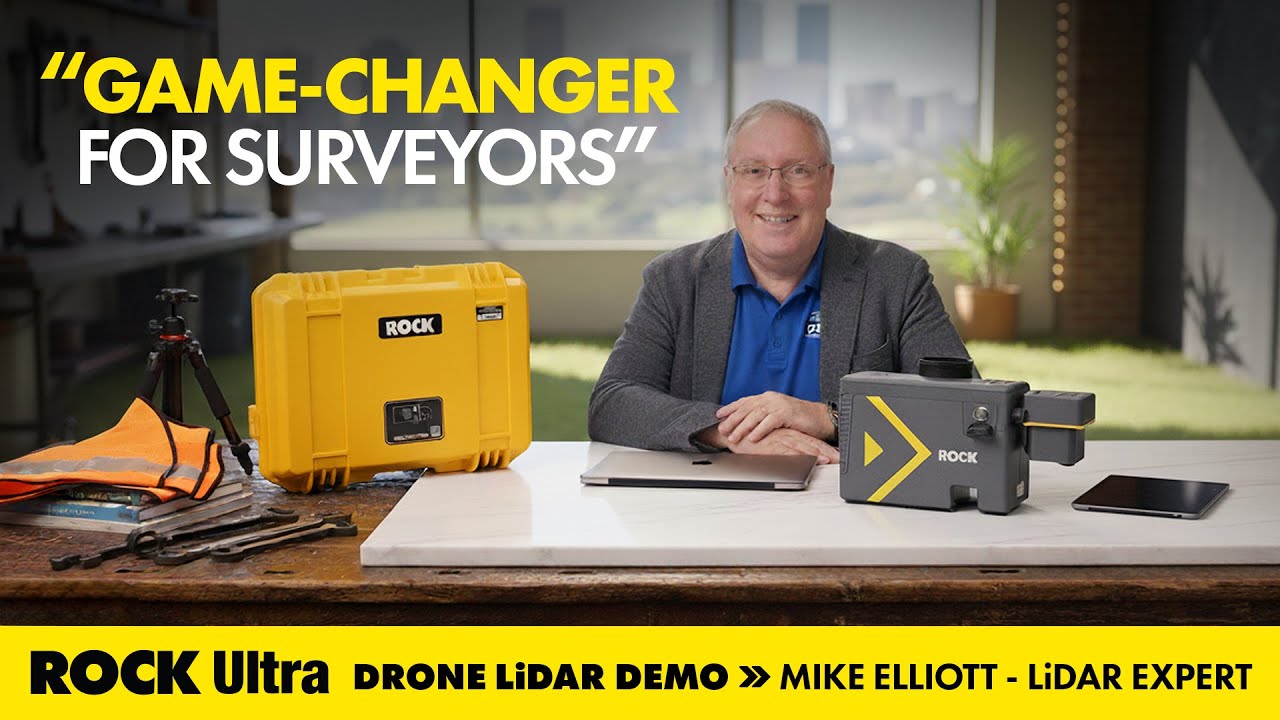
Real-World Success Stories
Customer Case Studies
Explore real-world use cases directly from surveyors and drone service providers. Each case study includes the full story, dataset, and video walkthrough.

Fly High, Plan Simple.
The Ultra's 1,000m range transforms your workflow. Fly confidently at maximum legal altitude (400ft / 120m AGL), simplifying mission planning over complex terrain and eliminating risks from unmapped obstacles like power lines or cell towers. The 1550nm wavelength is 40x safer than 905nm systems, allowing higher power output without eye safety concerns.
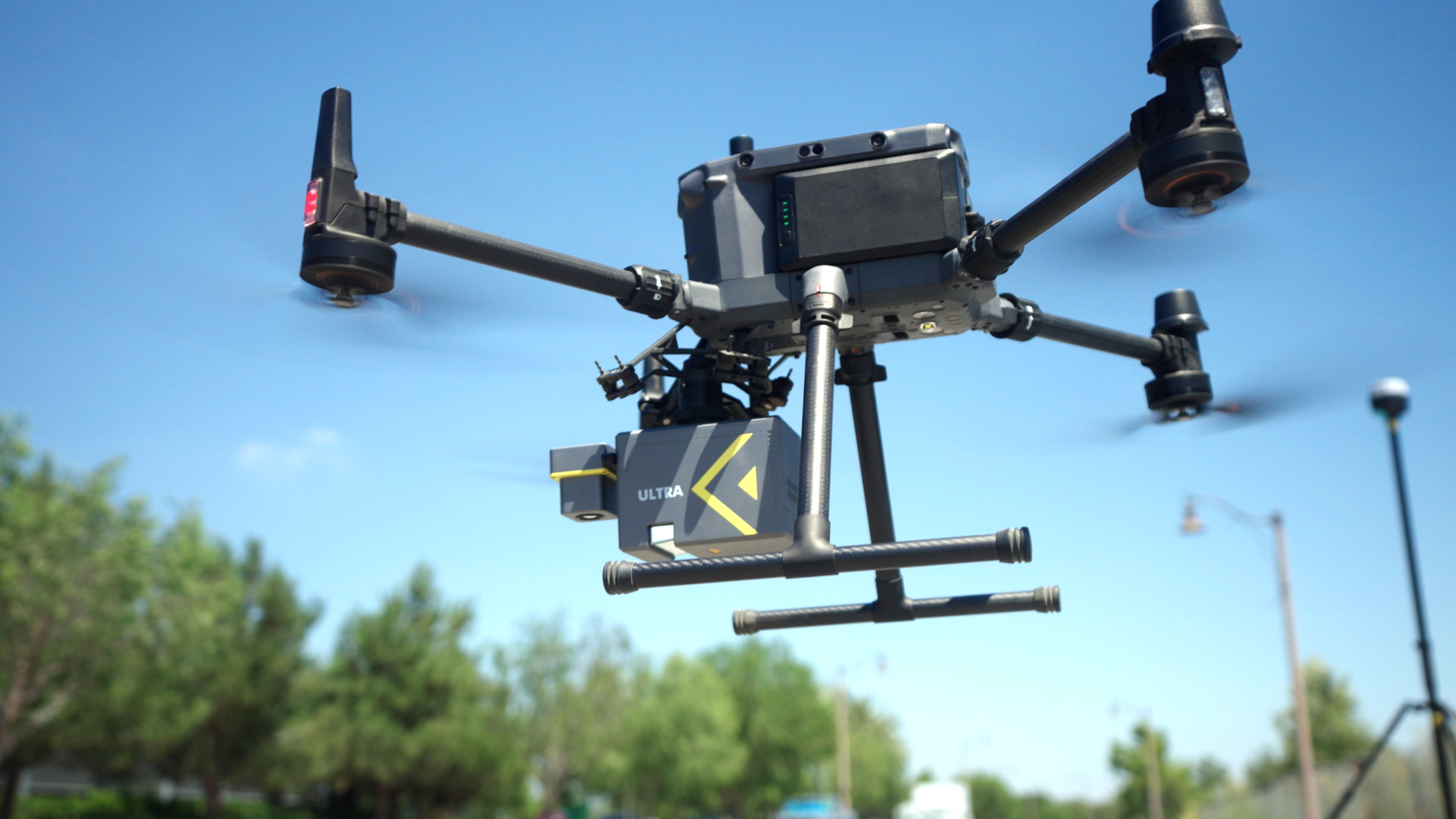
Penetrate the Impenetrable.
With 7 echo returns—the highest in the UAV LiDAR industry—and a powerful 1550nm laser, the Ultra captures the true ground where other systems fail. Each additional return increases the probability of detecting bare earth through vegetation. Reliably map through dense forest canopies to produce the cleanest bare-earth models you've ever seen.
An End-to-End Ecosystem.
The Ultra is seamlessly integrated into the ROCK workflow. Pre-process in the field with ROCK Desktop, then upload to ROCK Cloud to store, analyze, and order professional deliverables like DTMs, contours, and planimetrics with a single click. At just 1.21kg (sensor only) or 1.40kg with 26MP camera, it's 60% lighter than competing long-range systems.
Your Complete Solution
Everything you need to start collecting survey-grade LiDAR data, ready to fly out of the box.
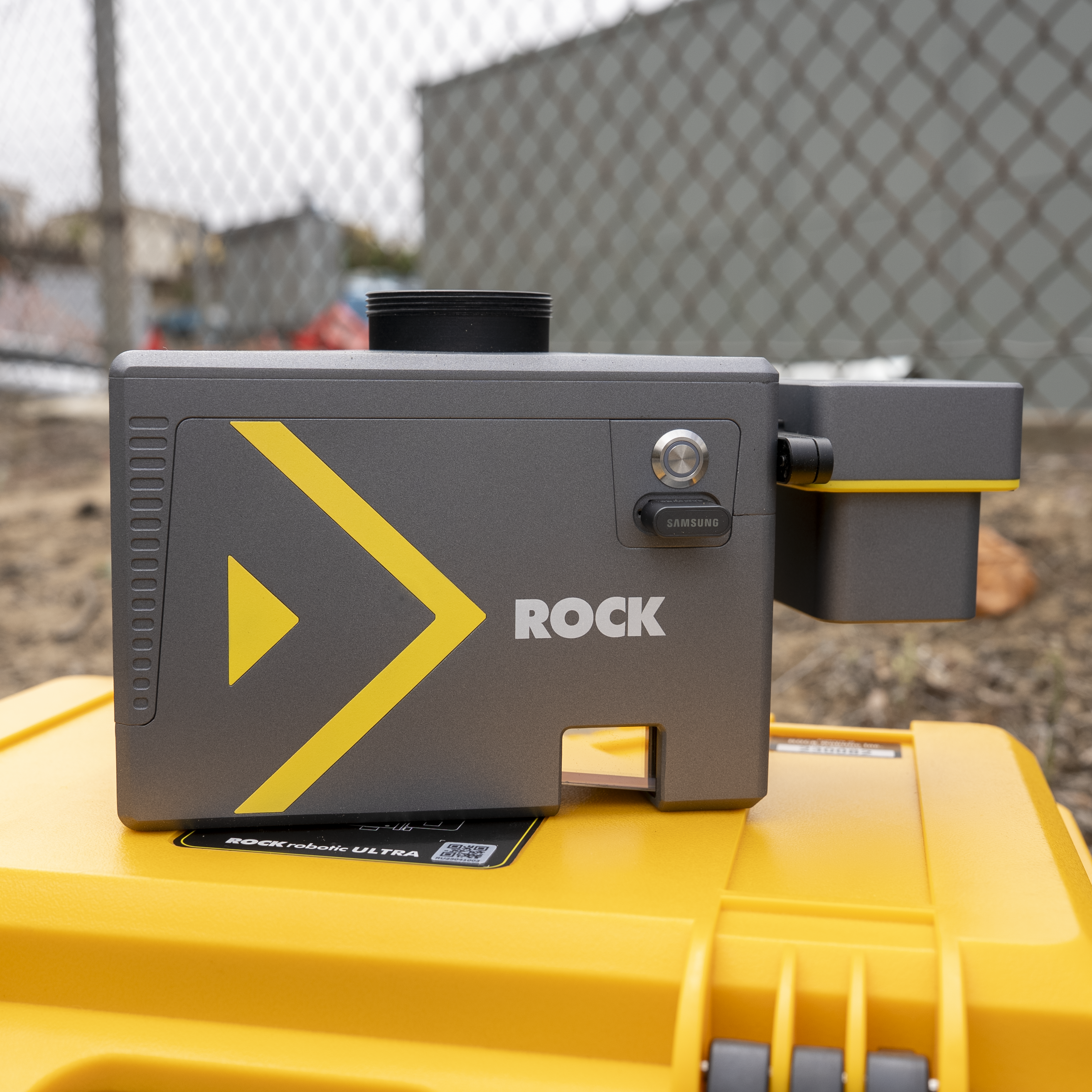
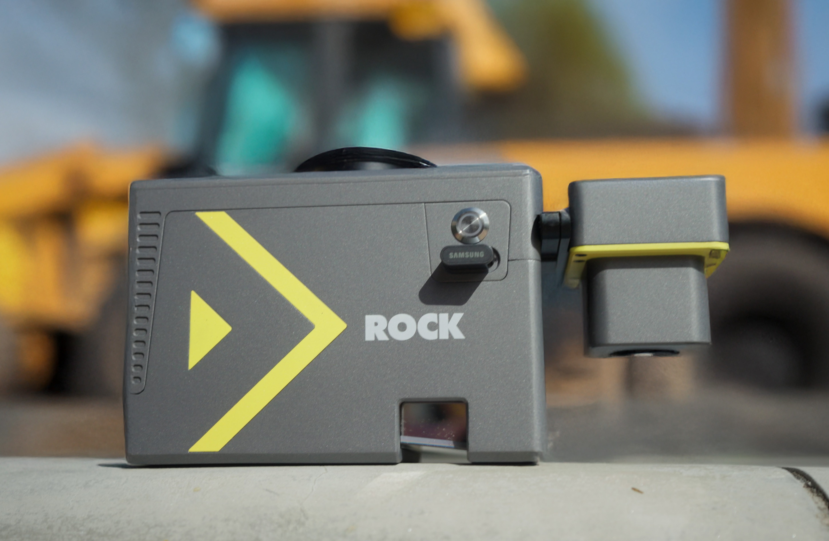
LiDAR Unit
1000m range, 7 returns, 1M points/sec
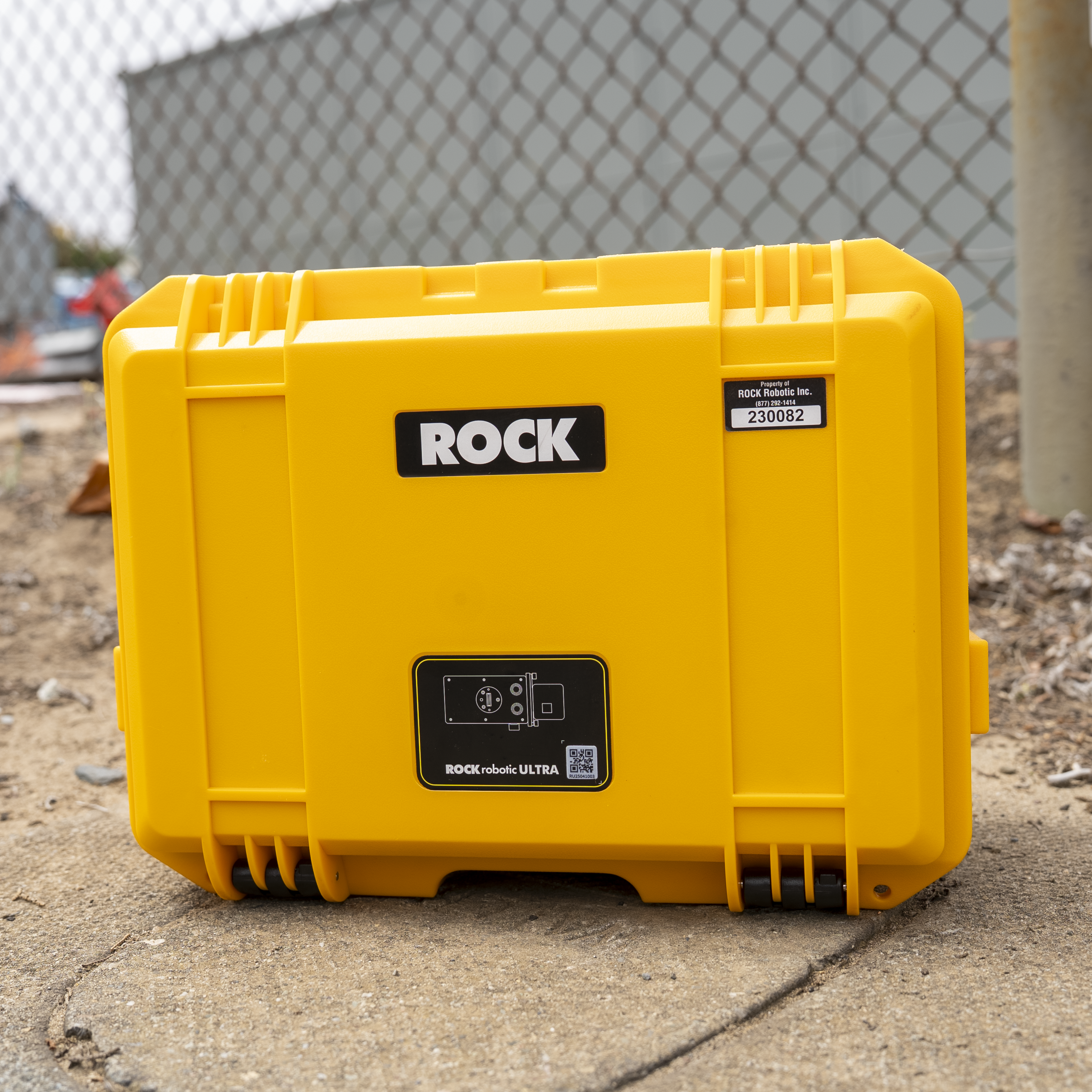
Durable Hard Case
Military-grade protection for transport
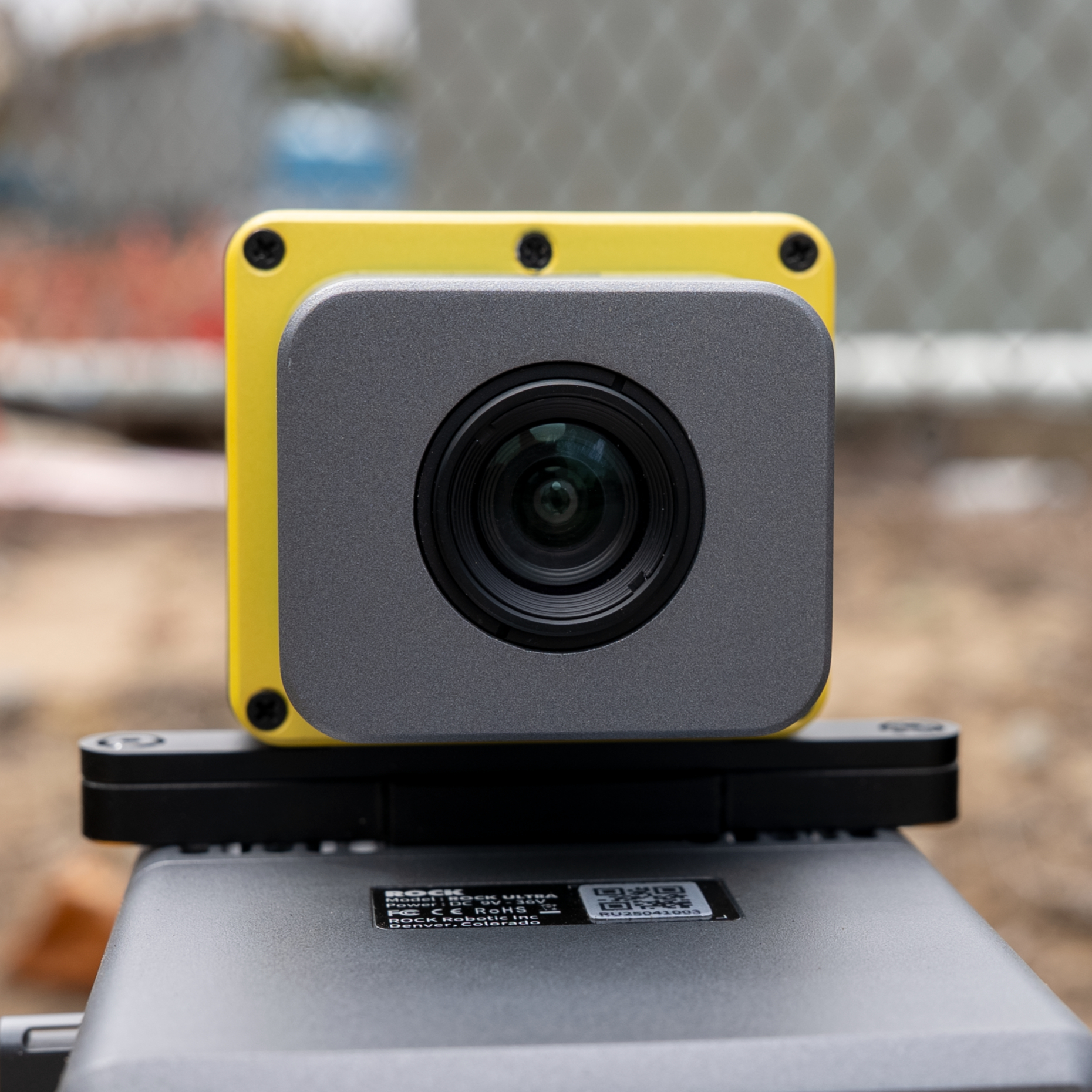
Calibrated Camera
RGB colorization & photogrammetry
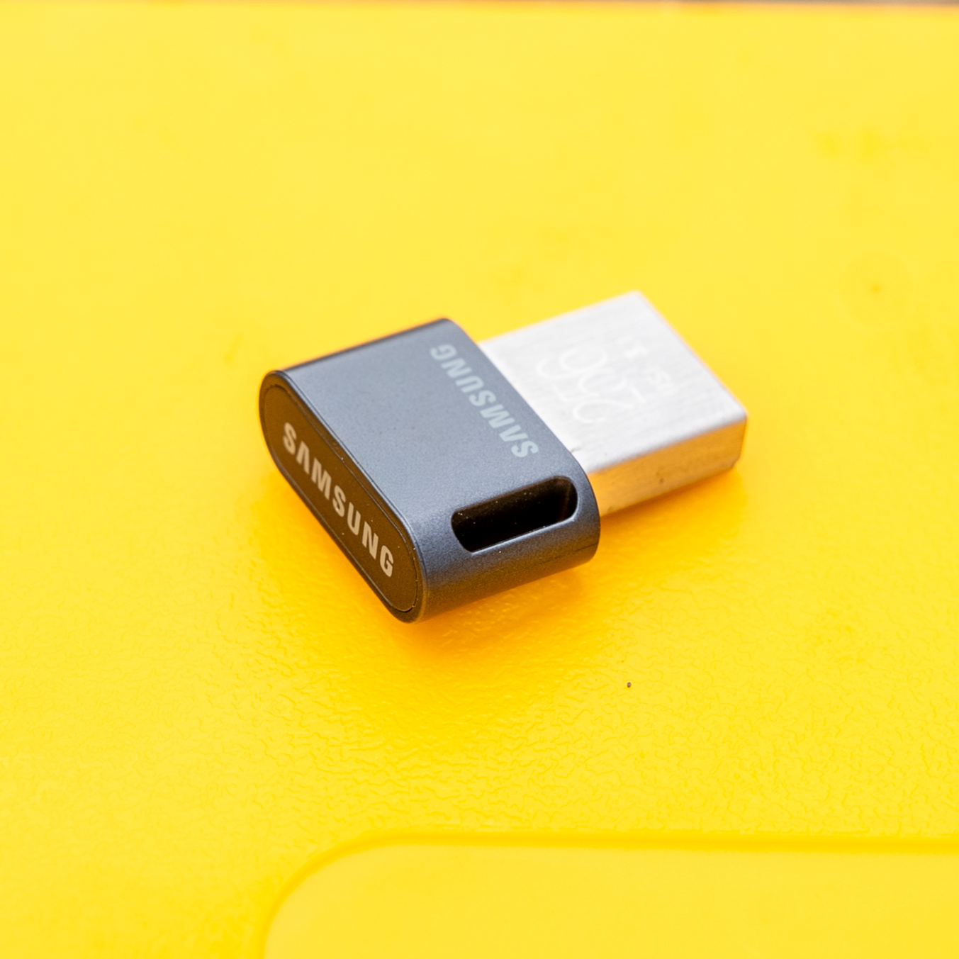
USB Storage
256GB Samsung high-speed drive
Gremsy Mount
Universal Mount
Compatible with DJI M300/M350
Also Included
ROCK Cloud Subscription
Full access to cloud processing & storage
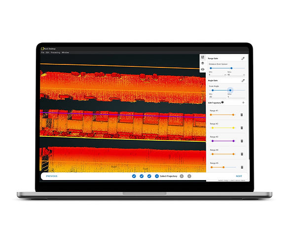
ROCK Desktop Software
Pre-process & QC data in the field
ROCK Photogrammetry
Create orthomosaics & 3D models from RGB imagery
Training & Certification
Comprehensive onboarding program
Technical Support
Direct access to LiDAR experts
Technical Deep Dive: Why 1550nm Matters
1550nm vs 905nm Technology
- •40x safer: Can emit higher power without eye safety concerns
- •17x more photons: Better signal-to-noise ratio in bright sunlight
- •4x smaller spot size: Higher ground resolution at 100m
- •Class 1 eye-safe: FAA approved for operations near airports
7 Returns: Industry-Leading Penetration
- •Return 1-2: Canopy top and upper vegetation
- •Return 3-5: Mid-story and understory vegetation
- •Return 6-7: Near-ground vegetation and bare earth
- •Result: Complete 3D forest structure in a single pass
Real-World Performance Metrics
500m
@ 20% reflectivity
1000m
@ 80% reflectivity
5mm
Range precision
Engineered for Your Industry
The ROCK Ultra excels where efficiency and data quality are paramount.
Land Surveyors
Cover 500+ acres in a single flight, meet tight deadlines, and deliver pristine bare-earth data.
Forestry Managers
Accurately assess biomass, canopy height, and fuel loads with deep canopy penetration.
Civil Engineers
Efficiently map large infrastructure corridors for reliable design and planning.
Frequently Asked Questions
Is the ROCK Ultra better than the R3 Pro?
They serve different purposes. The R3 Pro excels at high-density, low-altitude scans for detailed inspections. The Ultra is designed for large-area mapping with high-altitude efficiency, making it ideal for surveying, forestry, and civil engineering projects.
What drones are compatible with the ROCK Ultra?
The Ultra is compatible with most commercial drones including DJI M300, M350, and similar platforms. At just 1.4kg with camera, it maintains excellent flight performance while delivering professional-grade LiDAR data.
How much area can I cover in a single flight?
With its 1000m range, the Ultra can cover 200-300 acres in a single 30-minute flight at 120m AGL. Flying at the maximum 450m altitude, you can cover up to 1000 acres per flight—that's 2-3x more coverage than traditional 905nm LiDAR systems.
Why is 7 returns better than 5 returns?
Each additional return increases the probability of capturing ground points through vegetation. While 5-return systems often miss the ground in dense canopy, our 7-return capability ensures reliable bare-earth detection even in the thickest forests, reducing the need for manual classification and repeat flights.
What's included with the ROCK Ultra?
The complete package includes the Ultra LiDAR unit, RGB camera, mounting hardware, ROCK Cloud subscription, ROCK Desktop software, training, and technical support.
Your Partner in Success
Expert Technical Support
The ROCK Solid Customer Success team of geospatial experts, based in the U.S., is here to help you confidently undertake your projects and integrate your data into your existing workflow.
Comprehensive Online Training
Get up to speed quickly with our extensive online training academy and onboarding sessions, included with every system.
Boresight Calibrated & Certified
Every system is calibrated before shipment and comes with a certificate, so you're ready to fly with survey-grade confidence as soon as you receive it.
Support Access
Training Videos
Response Time
Onboarding
Master Your ROCK Ultra
Get the most out of your investment with comprehensive training options designed for hands-on learning and expertise development.
Hands-On Training
Denver, Colorado
Learn directly from ROCK engineers with hands-on experience using real equipment. Covers flight operations, data processing, and advanced techniques.
View Training DetailsROCK Academy
Online Learning Platform
Comprehensive online curriculum covering the complete LiDAR workflow from capture to deliverables. Learn at your own pace with expert guidance.
Explore ROCK AcademyNot sure which training option is right for you?
Talk to Our Training ExpertsWhat Our Customers Say
Don't just take our word for it. Hear from professionals who've transformed their operations with ROCK Ultra.
The team at ROCK is by far the best in the industry. We've worked with a number of other companies and these guys are hands down the best.
ROCK Robotic has seriously helped our survey business get to a new level of service and productivity. Highly recommend ROCK Pro Services and their LiDAR equipment.
Ready to Transform Your Workflow?
Join hundreds of professionals who have revolutionized their mapping operations with the ROCK Ultra.