One LiDAR. Endless Possibilities.
Fly it. Drive it. Walk it. The only LiDAR system that seamlessly transitions between airborne, mobile, and handheld scanning—delivering survey-grade accuracy anywhere you need it.
Experience the ROCK R3 V2 in 3D
Explore the versatile design that adapts to any scanning mission
Aerial Mode
Drone mapping
Mobile Mode
Vehicle scanning
Handheld Mode
Walk & scan
2-3 cm
Post-Processed Accuracy
640k
Points/sec
360°
Field of View
1.26 kg
Weight w/ Camera
3-in-1
Scanning Modes
5 mm
Range Precision
Fly: Aerial Mapping Perfected.
Mount on DJI M300/M350 or custom drones for efficient aerial surveying. With 360° coverage and optimized 60m AGL flight altitude, map 50-100 hectares per flight. The 16 laser channels deliver professional point clouds with dual returns, capturing both canopy and ground in a single pass. Perfect for topographic surveys, construction monitoring, and volumetric calculations.
Drive: Highway-Speed Corridor Mapping.
Transform to vehicle-mounted mobile mapping in minutes. Capture road corridors, railways, and infrastructure at highway speeds with continuous 360° scanning. The tactical-grade IMU maintains accuracy through GPS outages under bridges and tunnels. Ideal for transportation planning, asset management, and utility corridor surveys—all using the same sensor and workflow.
Walk: SLAM-Powered Indoor & Outdoor Scanning.
Switch to handheld or backpack mode for GNSS-denied environments. The optional SLAM DOCK V2 upgrade enables GPS-SLAM hybrid trajectories, perfect for indoor mapping, underground mines, or dense forest understory. Capture 360° panoramic photos synchronized with point clouds. One device replaces multiple specialized scanners, simplifying your equipment and training needs.
Your Complete 3-in-1 Solution
Everything you need for professional LiDAR mapping across air, land, and indoor environments.
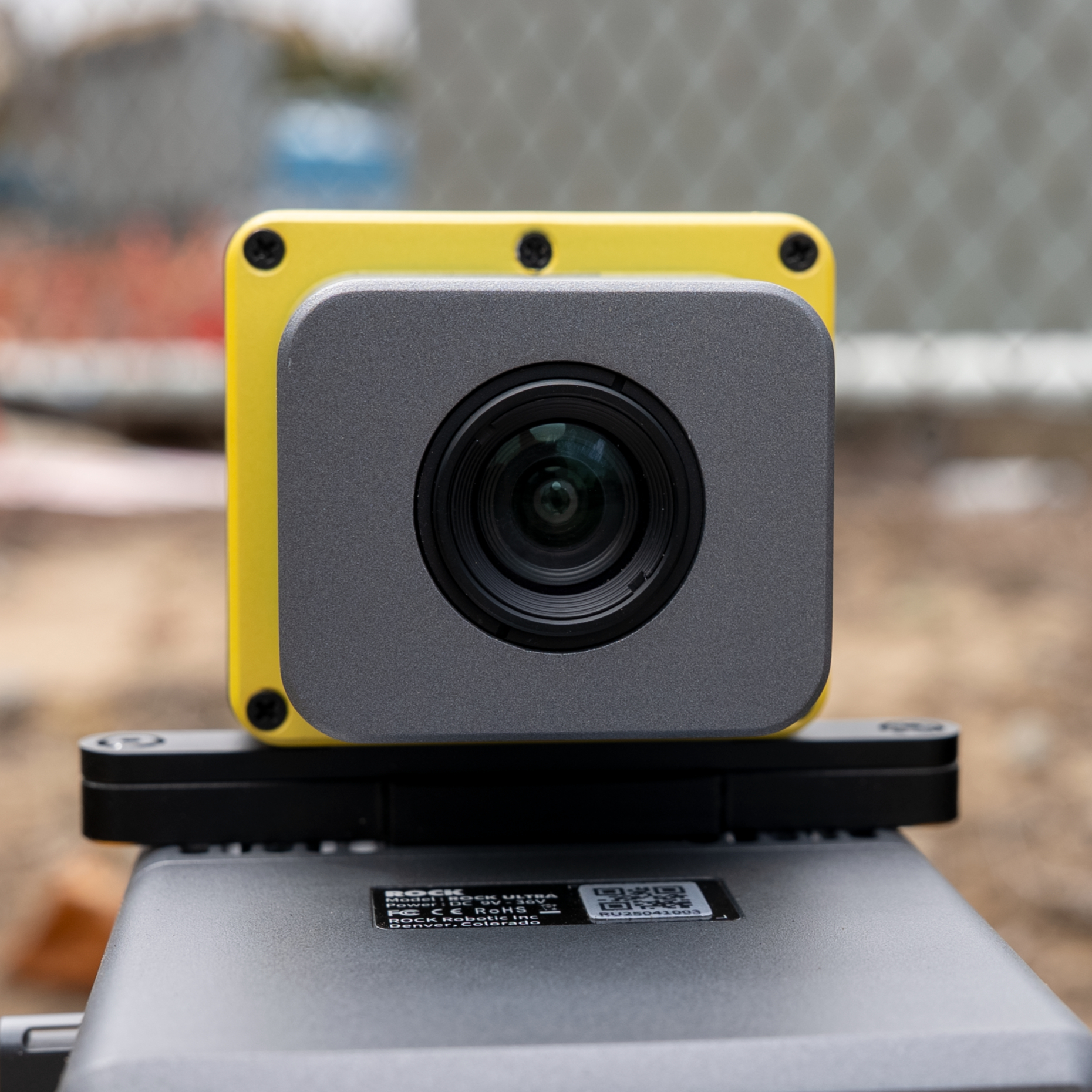
LiDAR Unit
16 channels, 640k pts/sec
Universal Mount
Mounting Kit
Drone, vehicle & handheld
RGB Camera
Colorized point clouds
SLAM DOCK
SLAM DOCK V2
GPS-denied scanning
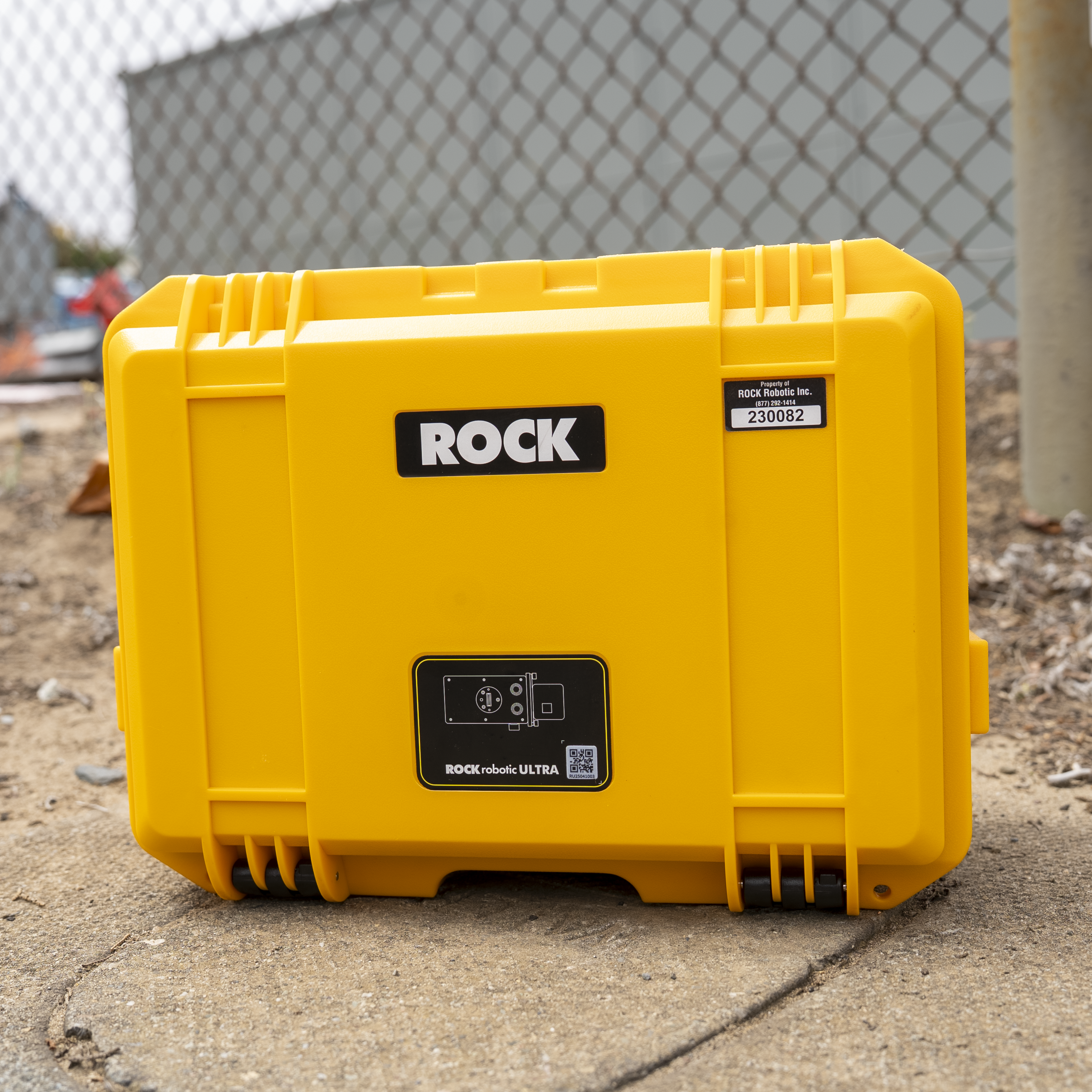
Transport Case
Military-grade protection
Complete Ecosystem Included
ROCK Cloud Business Plan
500GB storage, automated processing & deliverables
ROCK Desktop Software
Field QC, PPK processing & visualization
ROCK Academy Training
48 comprehensive modules for up to 6 team members
Expert Support
US-based LiDAR experts, 1-year included
256GB USB Storage
6+ hours of raw data capacity
Boresight Calibration
Pre-calibrated & certified for immediate use
Get the Complete Technical Specifications
Download our comprehensive spec guide for detailed technical information, performance metrics, and comparison charts.
ROCK R3 V2 Spec Guide
- Complete technical specifications
- Performance comparison charts
- Aerial metric camera options
- Optional mounts and accessories
PDF format • 2 pages • No email required
Technical Excellence: R3 vs R3 Pro
ROCK R3 Standard
- • 16 laser channels: Hesai Pandar XT16
- • 640k points/sec: Professional density
- • Entry price point: Perfect for starting out
- • Aerial-focused: Optimized for drone mapping
ROCK R3 Pro V2
- • 32 laser channels: Hesai Pandar XT32
- • 1.28M points/sec: 2x point density
- • Multi-platform ready: Aerial + Mobile + SLAM
- • SLAM DOCK V2 GPS-denied capability
Shared Professional Features
5mm
Range precision (1σ)
0.006°
Pitch/roll accuracy
2-3cm
Absolute accuracy
Engineered for Every Industry
One system adapts to your diverse project needs.
Land Surveyors
Aerial topo, road corridors, building interiors—all with one device and unified workflow.
Civil Engineering
Site surveys by drone, corridor mapping by vehicle, as-builts on foot—complete project coverage.
Mining & Construction
Open pit aerials, underground SLAM scans, haul road mobile mapping—versatility that matches your operations.
Frequently Asked Questions
What's the difference between the R3 and R3 Pro?
The R3 Pro doubles the laser channels (32 vs 16) and point density (1.28M vs 640k pts/sec). Both share the same high-precision IMU and 5mm range accuracy. The Pro excels in vegetation and is ready for vehicle/handheld mounting, while the standard R3 is perfect for aerial-focused operations at a lower entry point.
How does the 3-in-1 capability actually work?
The R3 V2 uses universal mounting hardware that quickly adapts between platforms. For aerial, mount on DJI SkyPort. For mobile, attach to vehicle roof rack. For handheld, add the SLAM DOCK V2 backpack. All data flows through the same ROCK Desktop/Cloud workflow—no separate software or training needed.
Do I need SLAM for indoor scanning?
Yes, the SLAM DOCK V2 upgrade enables scanning without GPS. It creates hybrid GPS-SLAM trajectories that seamlessly transition between outdoor and indoor environments. Perfect for complete building surveys, mines, or dense forest where GPS is unreliable.
What drones are compatible?
The R3 series works with DJI M300/M350 (via SkyPort), M600, Inspired Flight IF800, and Freefly Alta platforms. At just 1.26kg with camera, it maintains excellent flight times. We provide mounting kits and integration support for all compatible platforms.
How does this compare to the ROCK Ultra?
The Ultra is our long-range specialist (1000m range, 1550nm wavelength) optimized for large-area aerial mapping and deep vegetation penetration. The R3 V2 is the versatile entry-level system—lowest cost, multi-platform capability, and perfect for getting started with professional LiDAR. Choose Ultra for massive sites; R3 Pro for higher density; R3 for best value.
Your Partner in Success
US-Based Support
Real LiDAR experts who understand your workflow. Get answers fast from professionals who've been in your shoes.
ROCK Academy
48 comprehensive modules covering every aspect of your R3 system. Train your entire team with included access.
Pre-Calibrated
Boresight calibrated and certified before shipping. Unbox, mount, and start mapping immediately.
What Our Customers Say
Don't just take our word for it. Hear from professionals who've transformed their operations with ROCK R3.
"The 3-in-1 capability is a game-changer. We mapped a highway corridor by vehicle, then flew the adjacent development site—all with one system. The time and cost savings are incredible."
"ROCK's support team is exceptional. They helped us integrate the R3 Pro into our existing workflow seamlessly. The accuracy rivals systems costing twice as much."
Master Your ROCK R3 V2
Get the most out of your investment with comprehensive training options designed for hands-on learning and expertise development.
Hands-On Training
Denver, Colorado
Learn directly from ROCK engineers with hands-on experience using real equipment. Covers flight operations, data processing, and advanced techniques.
View Training DetailsROCK Academy
Online Learning Platform
Comprehensive online curriculum covering the complete LiDAR workflow from capture to deliverables. Learn at your own pace with expert guidance.
Explore ROCK AcademyNot sure which training option is right for you?
Talk to Our Training ExpertsReady to Revolutionize Your Workflow?
Join hundreds of professionals who've discovered the power of true versatility with the ROCK R3 V2.