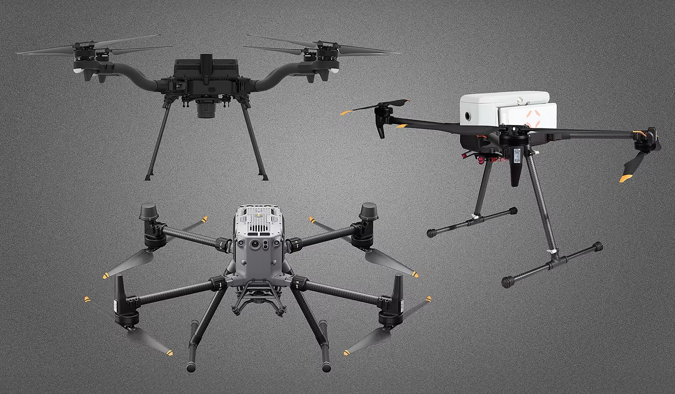
IF800 TOMCAT
US‑made, NDAA‑compliant drone platform engineered for professional missions. Ready to pair with ROCK LiDAR for survey‑grade mapping.
Engineered for Professional Missions
IF800 TOMCAT combines long endurance, heavy‑lift capacity, and compliant design—built for demanding survey and inspection workflows with ROCK LiDAR.
Long Endurance
Up to ~54 minutes max flight time for efficient area coverage and fewer battery swaps.
Heavy‑Lift Payload
Carry up to 6.6 lbs to support ROCK LiDAR payloads and accessories with margin.
NDAA / Blue UAS
US‑made platform suitable for government and critical‑infrastructure operations.
RTK Precision
Centimeter‑level navigation when paired with RTK for high‑accuracy mapping missions.
Intelligent Batteries
Smart flight batteries with robust monitoring to maximize uptime and safety.
Ruggedized Design
IP43 environmental resistance and sturdy build for field reliability.
Integrate ROCK LiDAR with IF800 TOMCAT
Get a customized package and training from our US-based LiDAR experts.