Astro Max
Blue‑approved, US‑made commercial drone platform engineered for productivity and precision. Ready to pair with ROCK LiDAR for survey‑grade mapping.
Engineered for Professional Missions
Astro Max combines long flight time, high‑resolution imaging, and robust connectivity—built on an open ecosystem that scales with your program.
SuperLight Batteries
Hot‑swappable SL series batteries with intelligent monitoring and industry‑leading cycle life.
61MP Sony LR1
Capture highest‑resolution imagery with interchangeable 24/35/50/75mm lenses and thermal options.
RTK Precision
Centimeter‑level positioning with u‑blox F9P and optional base station for 10× higher accuracy.
NDAA / Blue UAS
US‑made platform approved for government and critical‑infrastructure operations.
Large 21″ Props
Efficient, low‑noise propulsion for smooth control and excellent endurance on a compact frame.
Open Ecosystem
Smart Dovetail standard, AuterionOS, LTE, and mission computer enable scalable integrations.
Knowledge for Freefly
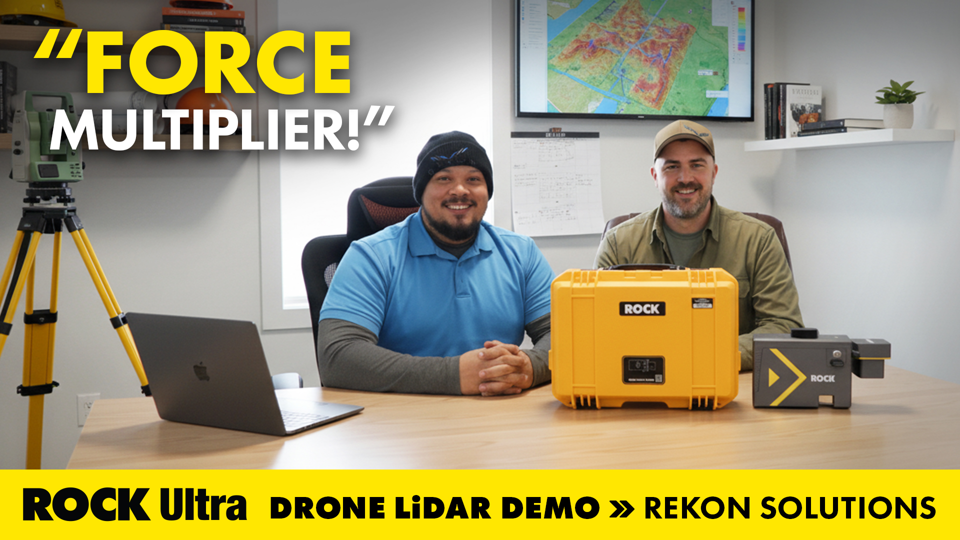
Flying Solo: How a Single Surveyor Used ROCK Ultra Drone LiDAR to Map a Mountain Ski Resort
A single surveyor from British Columbia proves the power of the ROCK Ultra Drone LiDAR system — flying solo at 400 feet to map a Canadian mountain ski resort with precision, speed, and confidence.
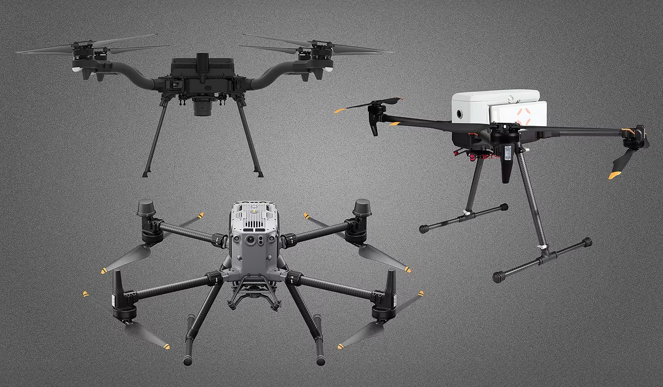
Choosing the Best Drone for LiDAR Mapping in 2025
Looking for the best drone for LiDAR mapping in 2025? This guide compares top platforms—DJI M350 RTK, Inspired Flight IF800 Tomcat, and Freefly Astro Max—highlighting NDAA compliance and pairing them with ROCK Robotic’s powerful LiDAR payloads: the ROCK Ultra and R3 Pro V2. Whether you need high-altitude efficiency or versatile 3-in-1 scanning, this article helps you choose the right drone and sensor combo for your mapping needs.
Integrate ROCK LiDAR with Astro Max
We provide mounts, training, and workflow support to get you productive fast.