El caballo de batalla LiDAR más versátil.
Doble densidad. Doble de canales. La misma versatilidad incomparable. El R3 Pro V2 ofrece resultados de nivel profesional en vuelo, conducción o a pie—con 1,28 M de puntos por segundo.
Experimenta el ROCK R3 Pro V2 en 3D
Explora el diseño de nivel profesional con el doble de canales láser
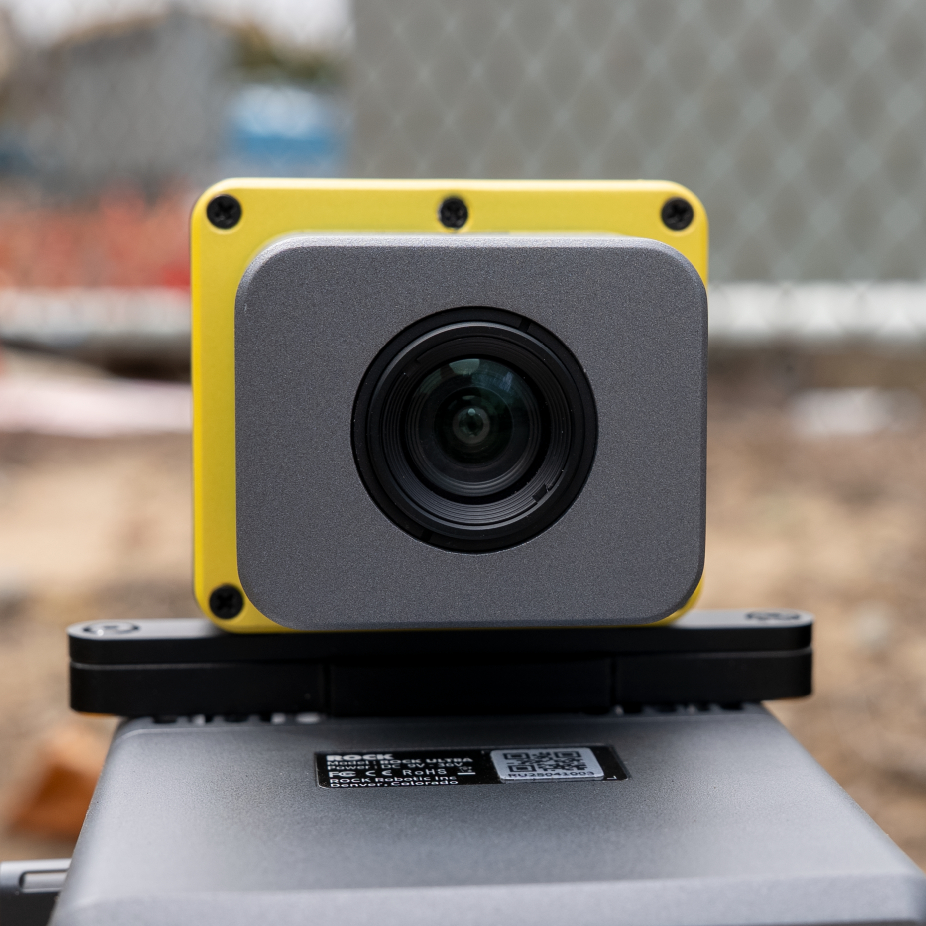
32 canales
Hesai XT32
2× densidad
vs. R3 estándar
Listo para SLAM
Capaz sin GPS
2-3 cm
Precisión postprocesada
1.28M
Puntos/seg
360°
Campo de visión
1.26 kg
Peso con cámara
32
Canales láser
5 mm
Precisión de alcance
Vuela: mapeo aéreo de máxima densidad.
Con 32 canales láser y 1,28 M de puntos por segundo, el R3 Pro V2 capta detalle excepcional incluso a 60 m AGL. La densidad duplicada mejora la penetración de vegetación, produce modelos bare‑earth más limpios y una extracción de entidades más precisa. Ideal para proyectos exigentes, entornos urbanos densos e inspecciones detalladas de infraestructuras.
Conduce: mapeo móvil profesional.
Convierte tu vehículo en una potencia de mapeo móvil. Los 32 canales brindan cobertura superior a velocidad de autopista, capturando detalle nítido de calzadas, señalización y servicios. La alta densidad de puntos asegura cobertura completa incluso bajo puentes, en túneles y en corredores complejos. Ideal para proyectos DOT y gestión de activos.
Camina: excelencia SLAM en cualquier lugar.
El R3 Pro V2 destaca en modo de mano con SLAM DOCK V2. La alta densidad de puntos aporta detalle excepcional para mapeo interior, documentación as‑built y levantamientos en espacios confinados. Trayectorias híbridas GPS‑SLAM combinan captura interior/exterior. Interiores, minas, túneles y bosques—todo con el mismo sensor profesional.
Tu paquete profesional
Todo lo necesario para mapeo LiDAR profesional con el doble de capacidad.
LiDAR Unit
32 channels, 1.28M pts/sec
Kit de montaje Pro
Montaje Pro
Kit robusto 3‑en‑1
Cámara RGB
Colorización Pro
SLAM V2
SLAM DOCK V2
Híbrido GPS‑SLAM
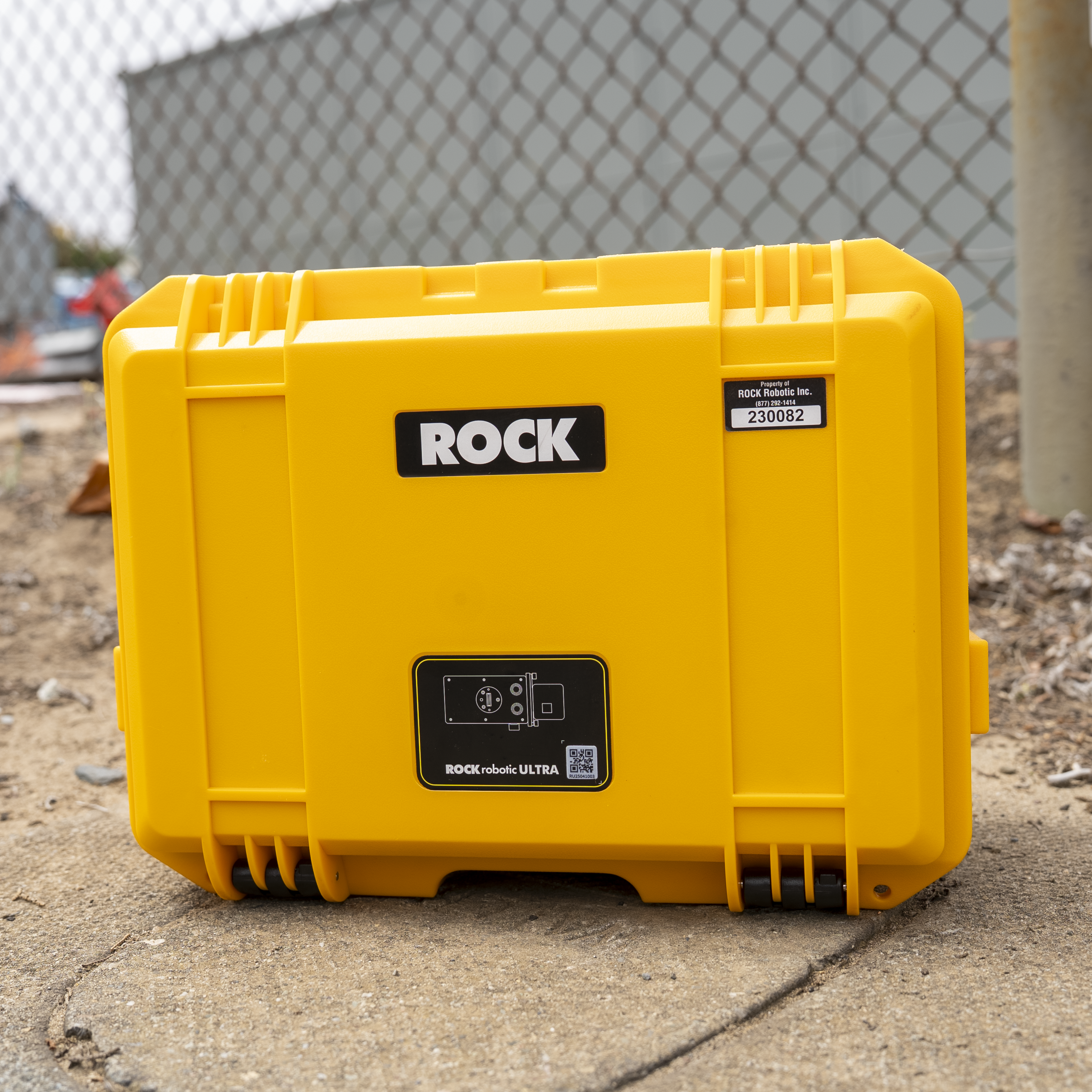
Maleta Pro
Protección extra
Ecosistema profesional
ROCK Cloud Business Pro
Procesamiento prioritario, 1 TB de almacenamiento, herramientas avanzadas
Licencia ROCK Desktop Pro
Procesamiento aéreo + móvil + SLAM
Soporte prioritario
Acceso directo a ingenieros senior de LiDAR
Formación avanzada
Módulos Pro + sesión 1‑a‑1 de onboarding
Calibración Pro
Boresight mejorado con certificación
Garantía extendida
Cobertura de 2 años con reemplazo anticipado
Get the Complete Technical Specifications
Descarga nuestra guía de especificaciones integral con información técnica detallada, métricas de rendimiento y tablas comparativas.
Guía de especificaciones del ROCK R3 Pro V2
- Especificaciones técnicas completas
- Gráficas comparativas de rendimiento
- Opciones de cámaras métricas aéreas
- Montajes y accesorios opcionales
Formato PDF • 2 páginas • No se requiere correo electrónico
¿Por qué elegir R3 Pro en lugar de R3 estándar?
Doble de canales láser
- • 32 vs 16 canales: 2× resolución vertical
- • Mejor penetración en vegetación: Más retornos por área
- • Bordes más limpios: Definición de elementos superior
- • Cobertura más rápida: Franja más ancha con la misma densidad
Ventajas profesionales
- • 1,28 M pts/seg: Doble densidad de datos
- • Optimizado para móvil: Superior a velocidades de vehículo
- • Excelencia SLAM: Mejor detalle en interiores
- • A prueba de futuro: Soporta proyectos exigentes
Métricas de rendimiento R3 Pro V2
2x
Más puntos por vuelo
50%
Mejor penetración de copa
30%
Finalización de proyectos más rápida
Aplicaciones profesionales
El R3 Pro V2 destaca en proyectos exigentes que requieren máximo detalle.
Corredores de autopista
Mapeo móvil de nivel DOT con inventario completo de activos a 70+ mph.
Vegetación densa
Penetración de copa superior para estudios forestales y ambientales.
Instalaciones complejas
As‑builts completos con transiciones interior/exterior fluidas.
Preguntas frecuentes
¿Vale la pena actualizar del R3 estándar al R3 Pro V2?
Si necesitas mayor densidad de puntos, mejor penetración de vegetación o planeas hacer escaneos móviles/SLAM regularmente, el Pro vale la pena. Los canales duplicados (32 vs 16) marcan una diferencia notable en calidad de datos y eficiencia. Para mapeo aéreo básico, el R3 estándar puede ser suficiente.
¿Cómo se compara el R3 Pro V2 con el ROCK Ultra?
El Ultra está especializado en mapeo aéreo de largo alcance (1000 m, láser de 1550 nm) con penetración excepcional en vegetación. El R3 Pro V2 es el caballo de batalla versátil—capacidad 3‑en‑1, excelente para la mayoría de proyectos a media distancia. Ultra para sitios aéreos masivos; R3 Pro para versatilidad y valor.
¿Qué incluye el paquete Pro?
El R3 Pro V2 incluye sensor LiDAR de 32 canales, cámara de 26 MP, kit de montaje profesional, suscripción ROCK Cloud Business Pro, licencia ROCK Desktop Pro, soporte prioritario, formación avanzada y garantía de 2 años. SLAM DOCK V2 opcional recomendado para interiores.
¿Puedo actualizar del R3 al R3 Pro más adelante?
R3 y R3 Pro son equipos distintos (16 vs 32 canales láser), por lo que no se puede actualizar el sensor. Sin embargo, los propietarios de R3 pueden adquirir el R3 Pro con precio de actualización y a menudo entregar su R3. Contacta ventas para opciones.
¿Cuál es la curva de aprendizaje de la capacidad 3‑en‑1?
Muy mínima. Los tres modos usan el mismo flujo ROCK Desktop/Cloud. Cambiar entre aéreo, móvil y de mano es solo cuestión de montaje. La formación incluida cubre los tres modos y la mayoría domina en una semana.
Lo que dicen los usuarios Pro
Testimonios de profesionales que pasaron al R3 Pro V2 para proyectos exigentes.
"Actualizar del R3 al R3 Pro cambió las reglas. La densidad duplicada nos permite volar más alto con gran detalle. El mapeo móvil a velocidad de autopista ahora es viable para nuestros contratos DOT."
"Usamos el R3 Pro V2 para todo—levantamientos con dron, mapeo de corredores en vehículo y escaneos SLAM interiores. Un único sistema excelente en los tres ha simplificado enormemente operaciones y formación."
Domine su ROCK R3 Pro V2
Aproveche al máximo su inversión con opciones de capacitación integrales diseñadas para el aprendizaje práctico y el desarrollo de experiencia.
Capacitación práctica
Denver, Colorado
Aprenda directamente de ingenieros de ROCK con experiencia práctica utilizando equipo real. Cubre operaciones de vuelo, procesamiento de datos y técnicas avanzadas.
Ver detalles de la capacitaciónROCK Academy
Plataforma de aprendizaje en línea
Plan de estudios en línea integral que cubre todo el flujo de trabajo LiDAR, desde la captura hasta las entregas. Aprenda a su propio ritmo con la guía de expertos.
Explorar ROCK Academy¿No está seguro de qué opción de capacitación es la adecuada para usted?
Hable con nuestros expertos en capacitación¿Listo para rendimiento de nivel profesional?
Da el salto al ROCK R3 Pro V2 y siente la diferencia de 32 canales y 1,28 M de puntos por segundo.