Professional Drone LiDAR Systems & Cloud Mapping Software
Capture survey-grade LiDAR data. Upload to ROCK Cloud. Get professional deliverables in minutes. Trusted by engineers, surveyors, and utilities worldwide.
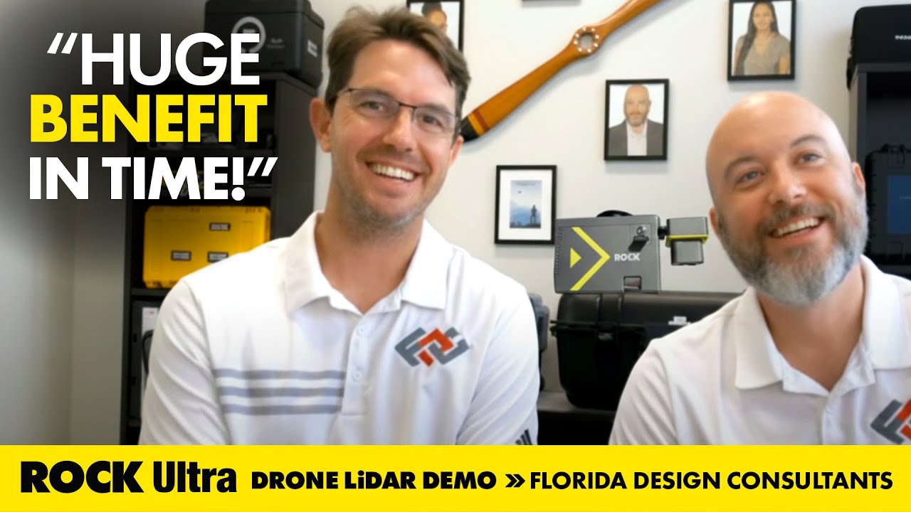
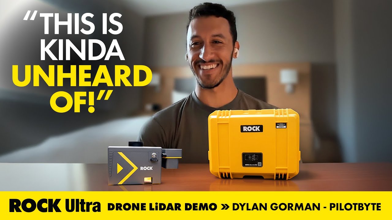
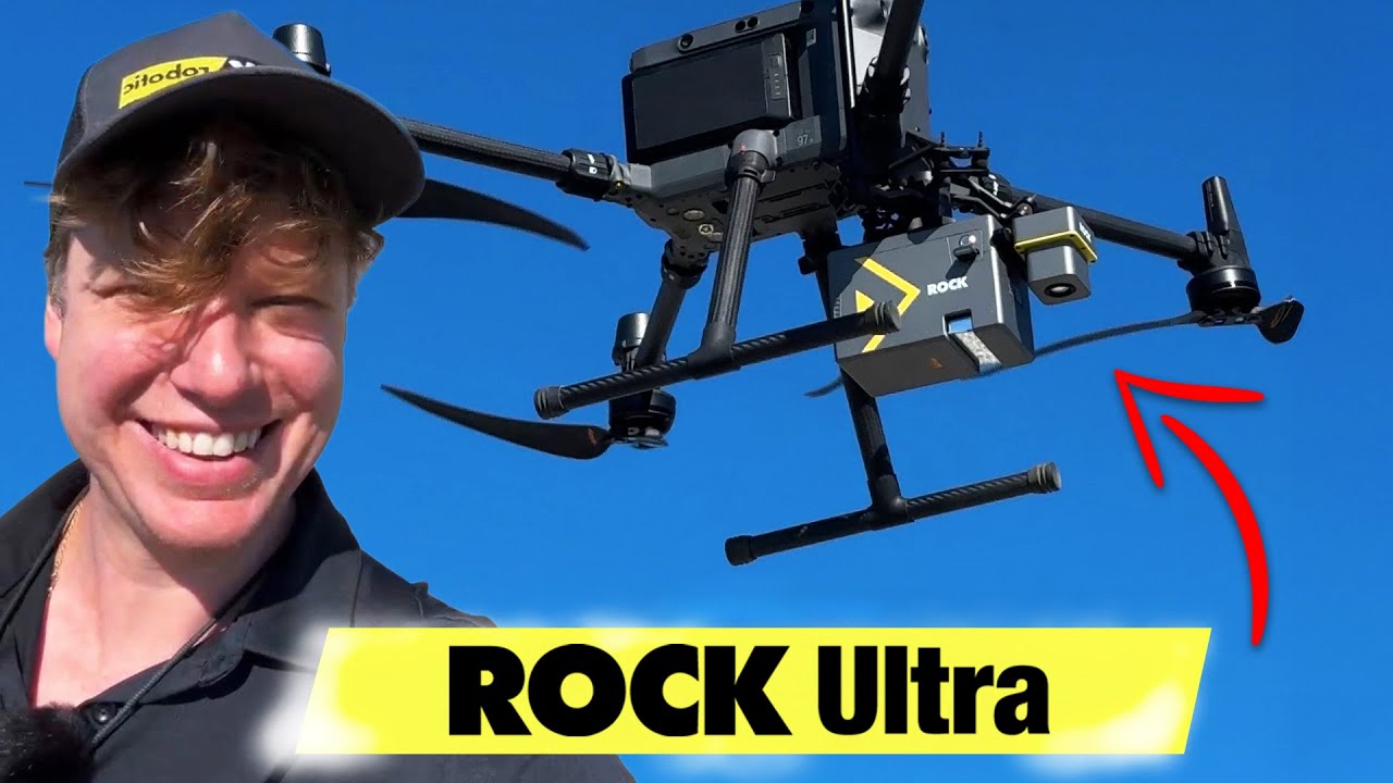
Historias de Éxito Reales
Casos de Estudio de Clientes
Explore casos de uso reales directamente de topógrafos y proveedores de servicios de drones. Cada caso de estudio incluye la historia completa, el conjunto de datos y un video explicativo.


Your End-to-End LiDAR Solution
From data capture in the field to final deliverables, we provide the tools and expertise to streamline your entire workflow.
LiDAR Hardware
Survey-grade LiDAR systems like the ROCK Ultra and R3 Pro, engineered for accuracy and efficiency in any environment.
Learn More →Cloud Software
The ROCK Cloud platform for seamless data processing, analysis, visualization, and deliverable generation.
Learn More →Professional Services
Your outsourced CAD team. Get survey-grade topographic maps, planimetrics, and PLS-CADD deliverables from our experts.
Learn More →


Trusted by Professionals & Integrated with Tools You Already Use


The Complete LiDAR Ecosystem
Advanced solutions tailored for every phase of your mapping project.
ROCK R3 Pro V2
One LiDAR, endless possibilities. A versatile 3-in-1 system for drone, vehicle, or handheld mapping with survey-grade precision and 360° coverage.
Read More →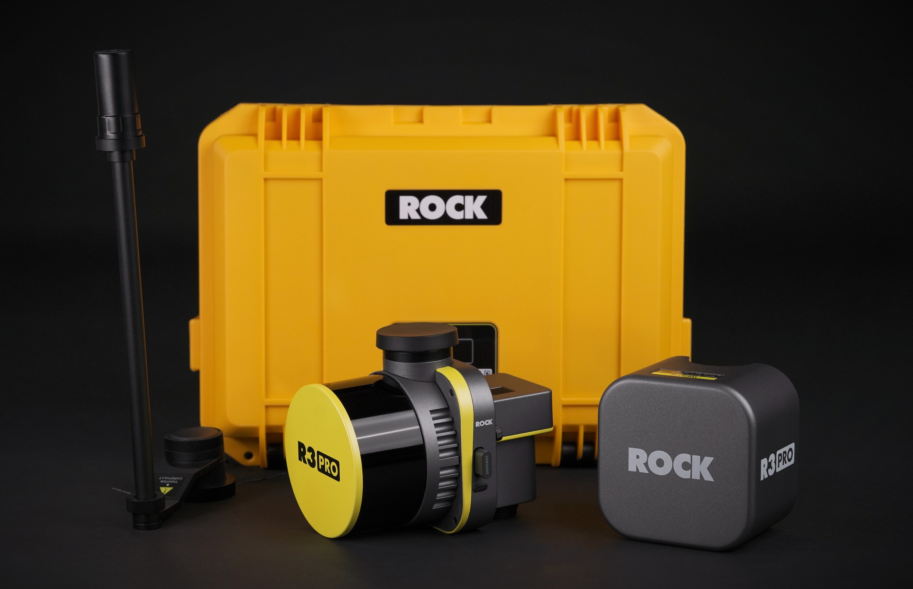
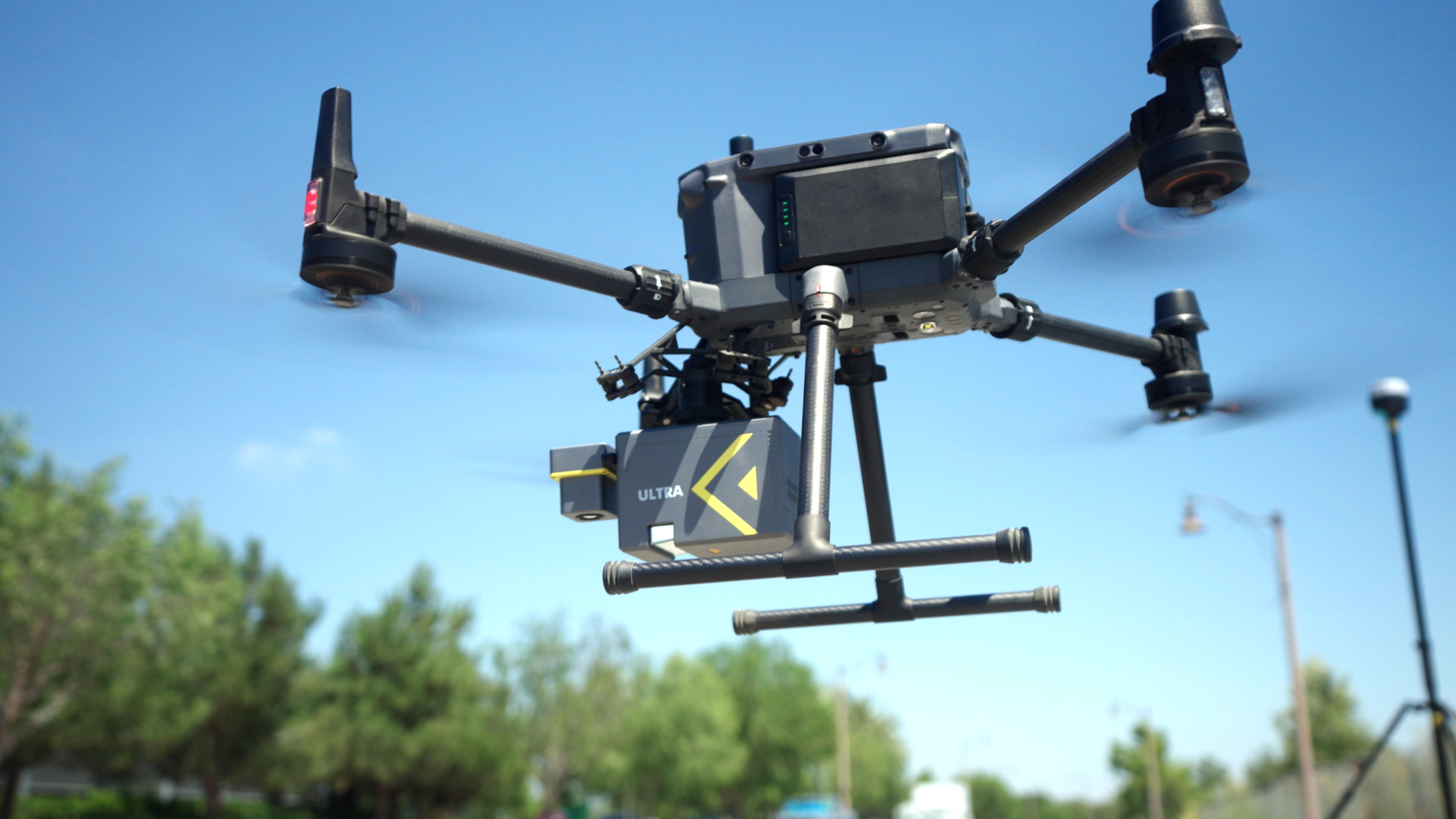
ROCK Ultra
The definitive solution for large-scale surveying. Fly higher and faster with a 1000m range and superior vegetation penetration for unmatched operational efficiency.
Read More →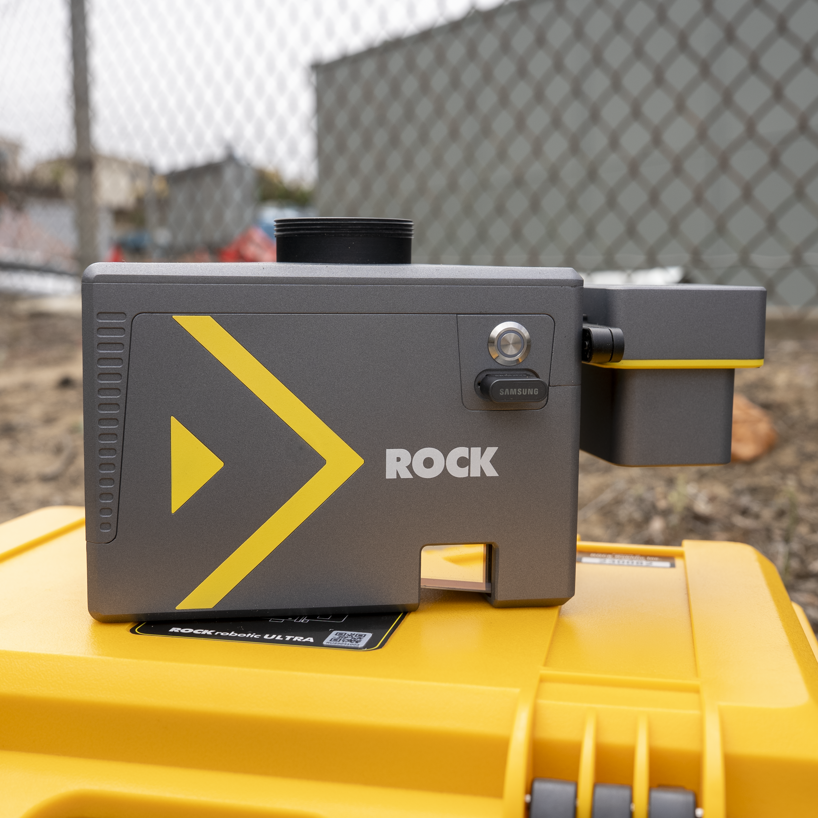
ROCK Cloud
Your end-to-end platform for LiDAR data. Securely store, analyze, visualize, and order professional deliverables with the power of cloud computing and AI.
Read More →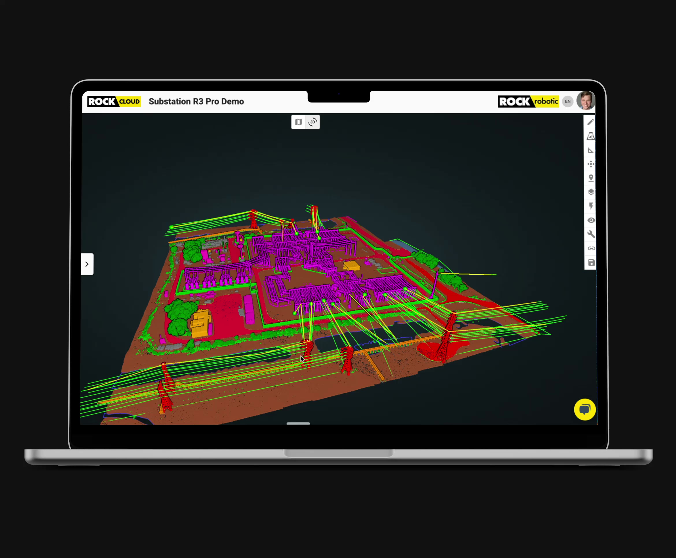
ROCK Pro Services
Your outsourced CAD team. Get survey-grade topographic maps, planimetrics, and PLS-CADD deliverables generated by our experts from your LiDAR data.
Read More →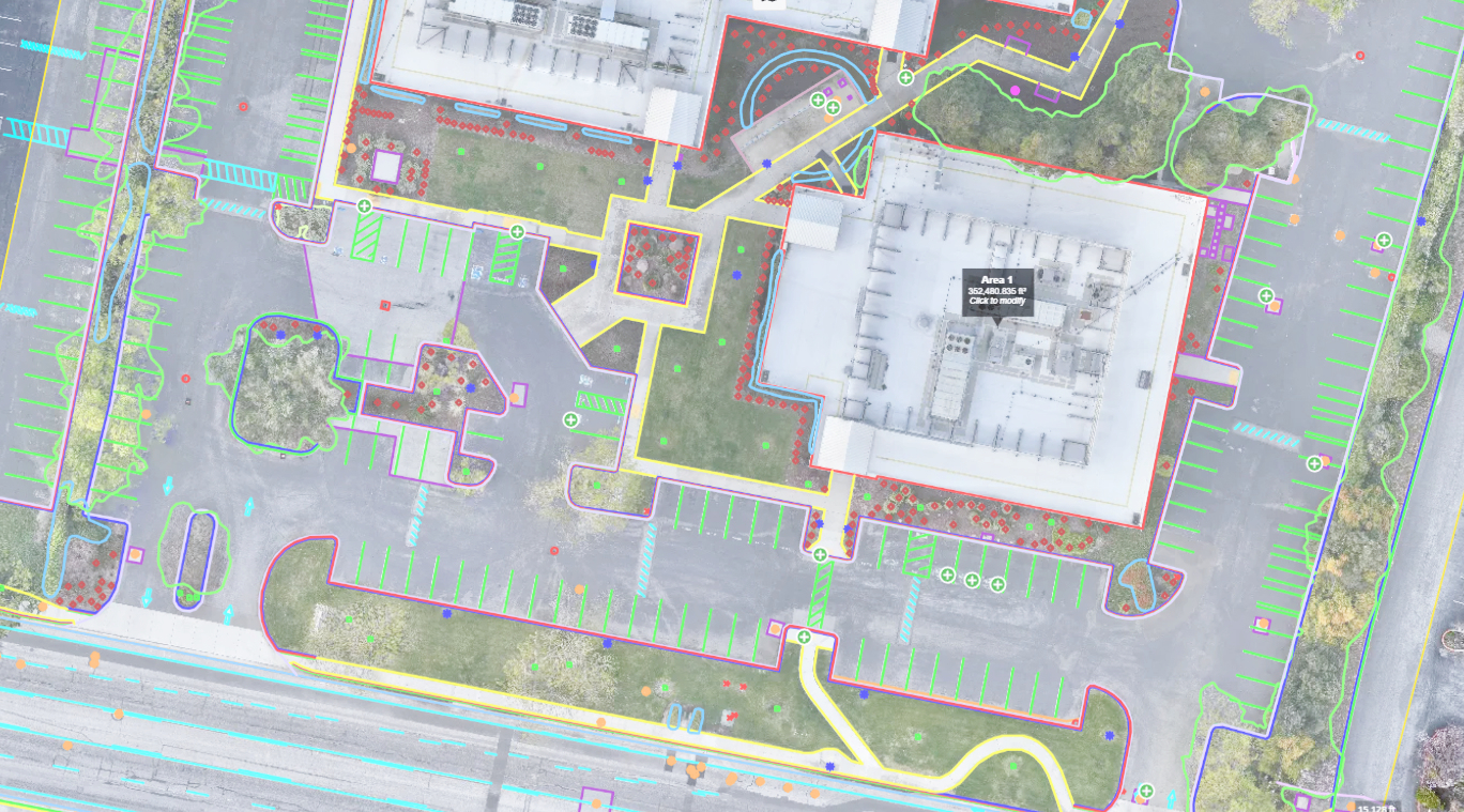
Industries
Purpose‑built LiDAR solutions for your mission—whether you build, maintain, model, or explore.
Land Surveying
Topographic mapping, boundary, and control with survey‑grade accuracy and deliverables.
Explore →Media & Entertainment
Create high‑fidelity digital twins for VFX, virtual production, and immersive experiences.
Explore →Road & Railway
Capture corridors quickly for planning, design, construction, and asset management.
Explore →Construction & Engineering
Monitor progress, verify quantities, and deliver design‑ready surfaces and linework.
Explore →Mining
Survey pits and stockpiles safely with rapid volumetrics and change detection.
Explore →Energy & Utilities
Model corridors, manage vegetation, and produce PLS‑CADD deliverables.
Explore →Environmental Research
Quantify habitats, canopy structure, and terrain to support field science.
Explore →Archeology
Reveal hidden structures through vegetation for site discovery and preservation.
Explore →Forestry
Analyze canopy height, density, and biomass with precise terrain separation.
Explore →Loved by Thousands of Geospatial Professionals
Whether you are a land surveyor, an engineer, or a drone service provider, ROCK Robotic has everything you need.
"The thing that I'm most pleased about is the ease of use of the LiDAR. We were able to take the hardware and deliver a product – the first time. The client is absolutely over the moon with the data we delivered."
Christopher Saili
Kahuto Pacific
"The Ultra cut our field time on a 500-acre project from three days to four hours. The bare-earth data was the cleanest we've ever seen."
John S., Lead Surveyor
Apex Geomatics
"ROCK Robotic has seriously helped our survey business get to a new level of service and productivity. Highly recommend ROCK Pro Services and their LiDAR equipment."
Davy J.
D.C. Johnson & Associates, Inc.
Conozca nuestros productos
Demostraciones
Únase a nuestro equipo técnico para una demostración en vivo del producto.
Encuentre una demostración cerca de ustedDistribuidores
¿Quiere convertirse en distribuidor o encontrar uno cerca de usted?
Envíenos un mensajeMás información
Últimos análisis y guías
Explora nuestros artículos más recientes sobre cartografía LiDAR, mejores prácticas de topografía y perspectivas del sector
26 ene 2026
ROCK Robotic lanza Splat Labs: La plataforma profesional en la nube para Gaussian Splats
Presentamos Splat Labs—una plataforma en la nube para alojar, compartir y colaborar en modelos Gaussian Splat, además de la nueva cámara espacial PortalCam para capturar escenas 3D fotorrealistas.
17 dic 2025
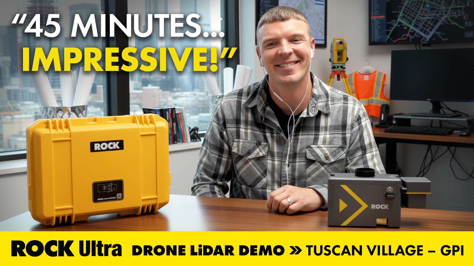
Mapear 360 Acres de Breaklines Urbanas Complejas en 45 Minutos: Dentro de la Demo ROCK Ultra Tuscan Village
Cómo GPI usó el ROCK Ultra LiDAR para escanear una reurbanización urbana de 360 acres en solo 45 minutos—y cómo ROCK Pro Services entregó breaklines listas para ingeniería durante la semana de vacaciones.
4 dic 2025
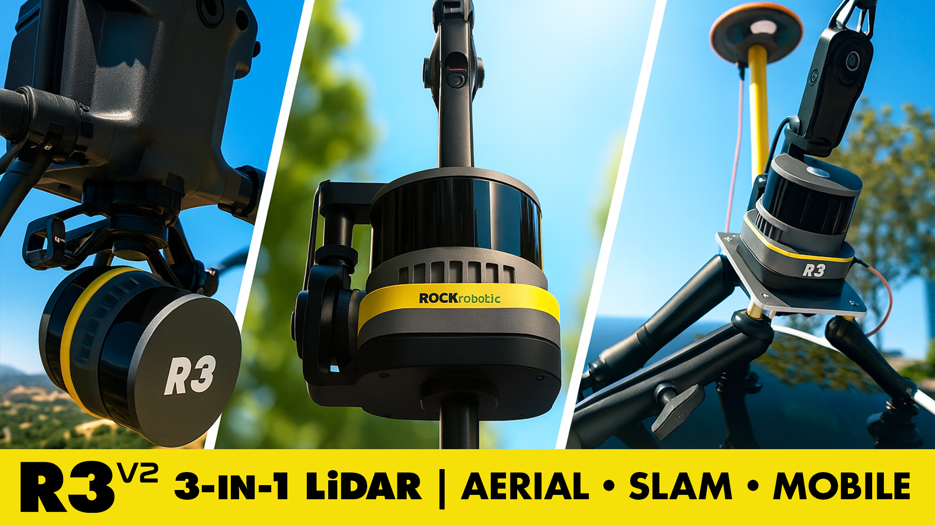
Conoce el ROCK R3 V2 — LiDAR 3‑en‑1 para dron, SLAM y mapeo móvil con precisión de grado topográfico a un precio inteligente
LiDAR 3‑en‑1 de nivel profesional para mapeo aéreo, SLAM y móvil. Precisión de grado topográfico. Precio inteligente. ROCK R3 V2.

19 nov 2025
Ahorra en LiDAR en 2025: Cómo la Section 179 reduce tus costos
Los topógrafos y profesionales geoespaciales pueden aprovechar la Section 179 para deducir equipos LiDAR que califiquen en 2025 — el momento ideal para actualizar a los sistemas de ROCK Robotic.
13 nov 2025
Mapeo de una mina de cobre a cielo abierto en Columbia Británica con el sistema LiDAR aéreo ROCK Ultra
Descubre cómo el ROCK Ultra Drone LiDAR cartografió de forma segura una gran mina a cielo abierto en Columbia Británica desde 400 ft AGL, capturando datos de nivel topográfico en un solo día con una eficiencia y seguridad inigualables.
31 oct 2025
Volando en solitario: cómo un único topógrafo utilizó ROCK Ultra Drone LiDAR para cartografiar una estación de esquí de montaña
Un único topógrafo de Columbia Británica demuestra la potencia del sistema ROCK Ultra Drone LiDAR — volando en solitario a 400 pies para cartografiar una estación de esquí de montaña en Canadá con precisión, rapidez y confianza.
10 oct 2025
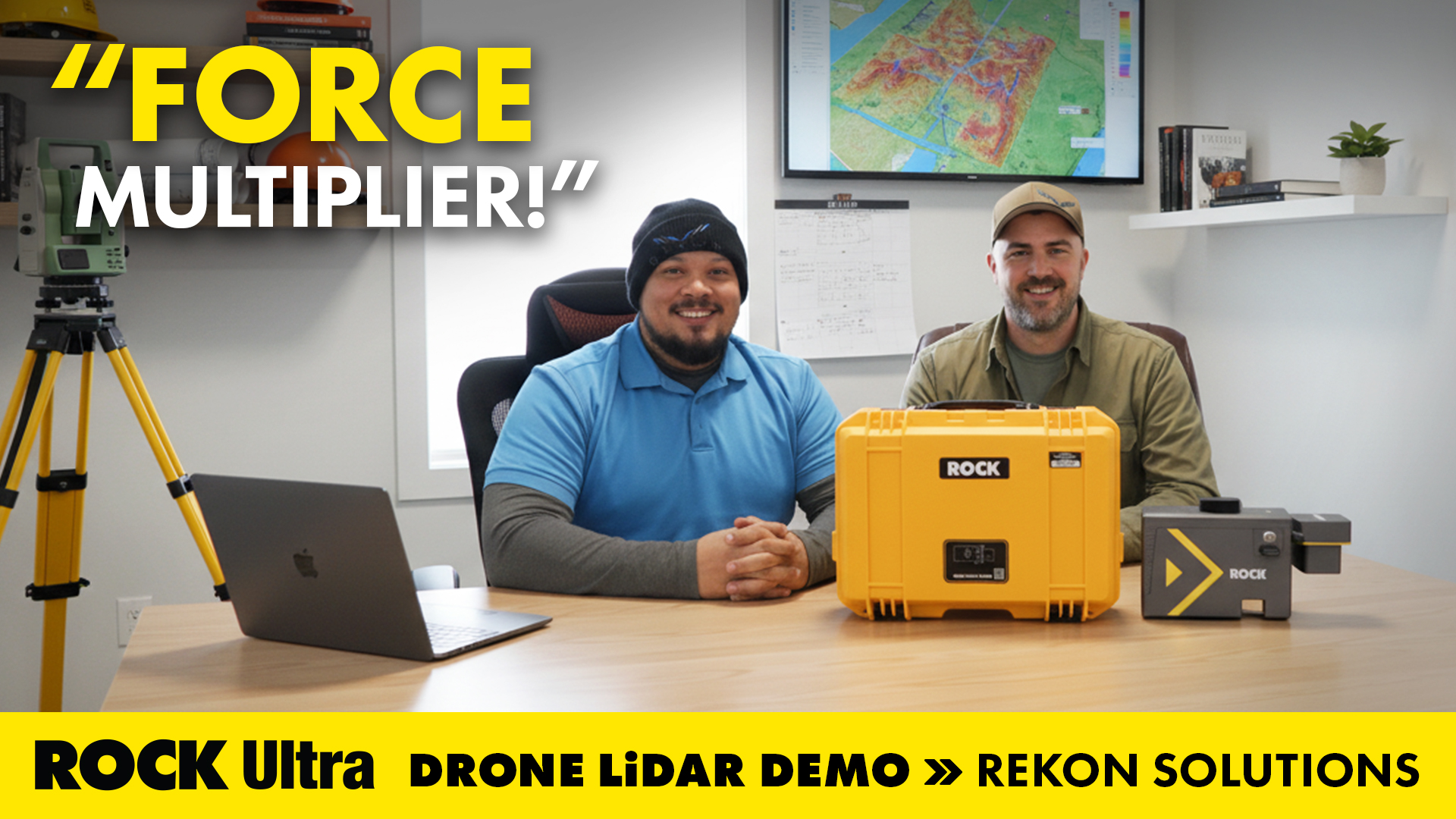
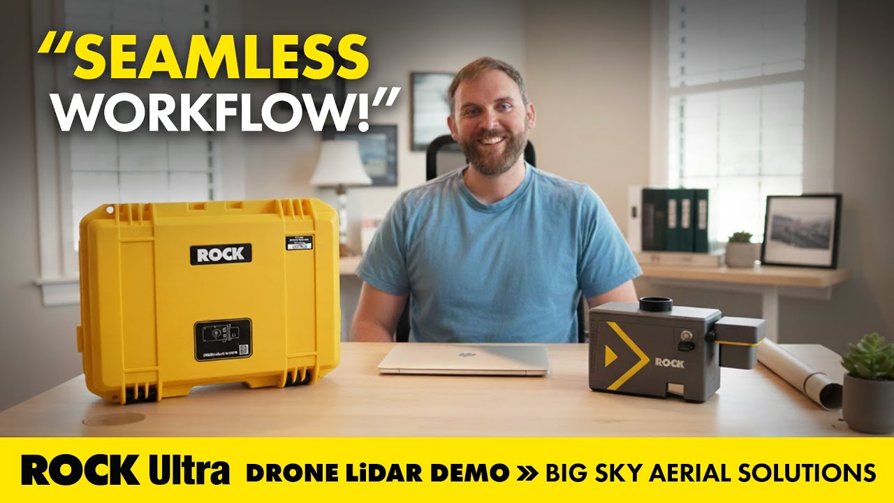
Flujo de trabajo LiDAR sin fricciones para corredores eléctricos con ROCK Ultra
Cómo Big Sky Aerial Solutions usó el LiDAR con dron ROCK Ultra para cartografiar corredores de servicios públicos para gestión de vegetación y reconducción: volar más alto y más rápido manteniendo detalles nítidos de conductores y vientos de amarre.
2 oct 2025
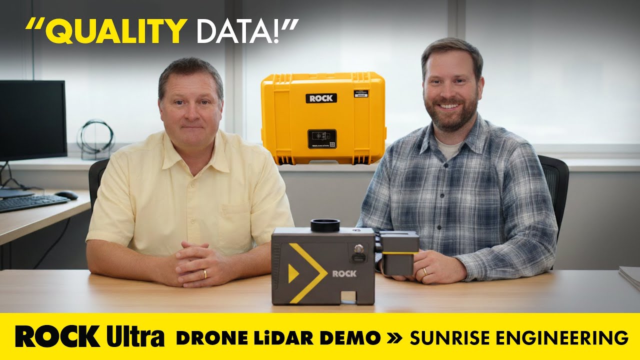
Mapeo de aludes de lodo: ROCK Ultra LiDAR apoya la recuperación en Buckley Draw (Utah)
Cómo Sunrise Engineering utilizó el LiDAR con dron ROCK Ultra para capturar datos topográficos críticos en Buckley Draw (Provo, Utah) tras incendios y flujos de lodo, apoyando la recuperación, el análisis de riesgos y la planificación de ingeniería.
Try ROCK Robotic now
Your 3D scanning journey starts here. Download ROCK Desktop or process in ROCK Cloud.