Mapping 360 Acres of Complex Urban Breaklines in 45 Minutes: Inside the ROCK Ultra Tuscan Village Demo
Dec 17, 2025
On the grounds of a former dog track in Salem, New Hampshire, one of the largest and most ambitious stops on the ROCK Ultra Demo Tour took shape. Tuscan Village—a 360-acre, multi-phase urban redevelopment—brings together residential blocks, commercial corridors, restaurants, walkable streets, parking structures, and a dense network of hardscape features. For surveyors, that means one thing: complexity.
This is exactly why GPI chose Tuscan Village as the proving ground for the ROCK Ultra. The site’s mass scale and countless curbs, medians, surface transitions, and construction-phase edges made it a perfect opportunity to evaluate how the Ultra performs in dense, high-detail urban environments.
GPI’s Senior Survey Technician Chris Stein led the data collection for this demo, and the results would highlight not only the Ultra’s powerful capture capabilities but also the speed and precision of ROCK Pro Services and their breakline extraction and surface modeling workflow.
A Development Built to Test LiDAR
Tuscan Village has transformed what Chris described as:
A pretty much full suite, a residential, commercial and anything that you want… a complex where you can live and work.
— Chris Stein, Senior Survey Technician, GPI
From a mapping and engineering standpoint, Tuscan Village presents a variety of high-precision challenges:
- Dense Curb Networks
- Multi-Tiered Walkways
- Rapid Grade Transitions
- Tight Building Footprints
- Extensive Hardscape Requiring Detailed Linework
This isn’t a site where a single surface model tells the whole story. It’s a place where breaklines matter—where the accuracy of edges, curbs, and transitions can define the quality of all downstream engineering work.
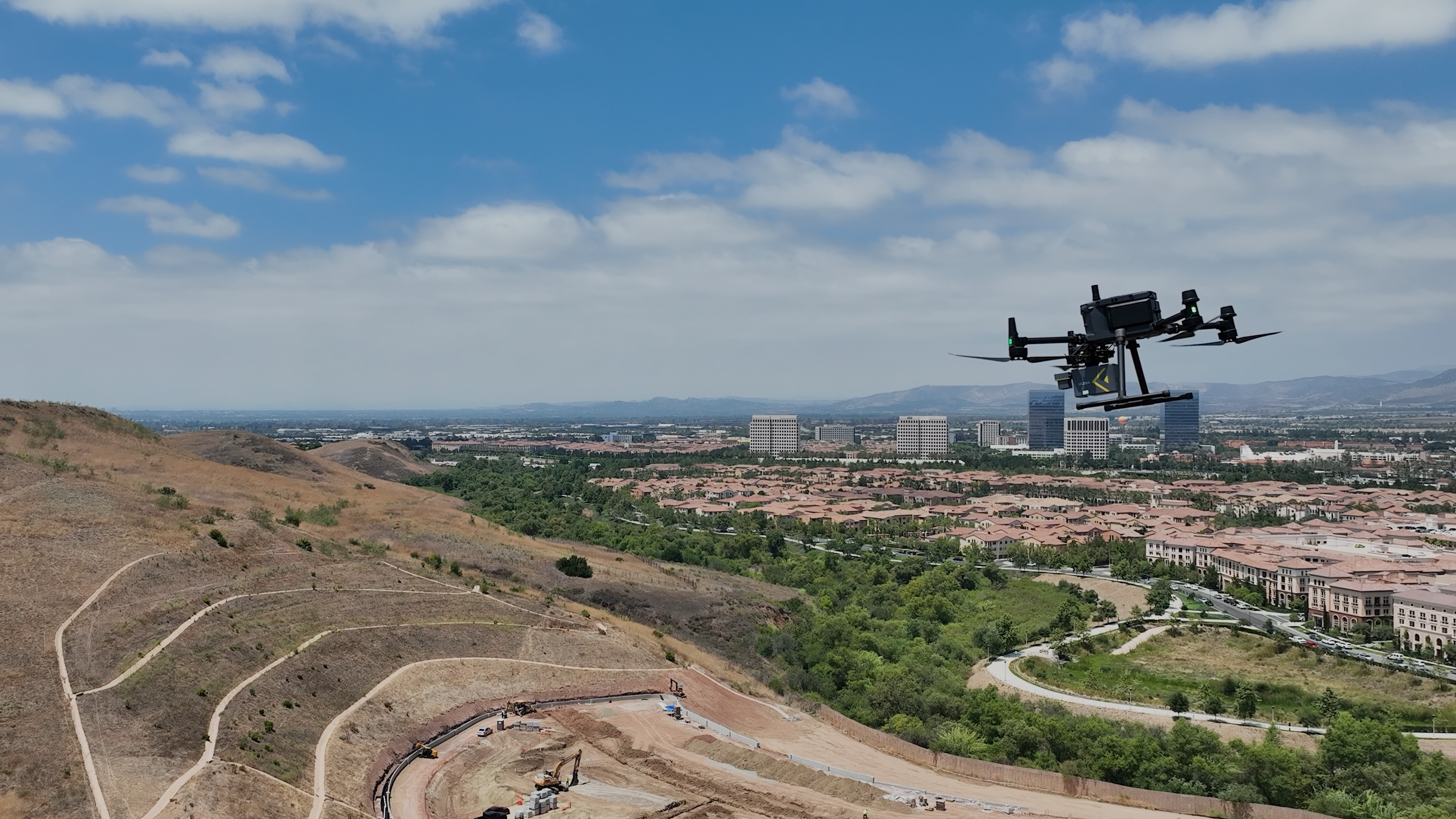
A 45-Minute Flight That Redefined Expectations
With ground control in place and mission settings finalized with support from the ROCK Customer Success team, Chris launched the Ultra and scanned the entire 360-acre site at:
- 380 Ft AGL (≈115 m)
- 10 m/s Flight Speed
- One Hot-Swap Battery
The entire mission lasted just 45 minutes.
I was able to fly this in 45 minutes, and that’s unheard of.
— Chris Stein, GPI
Compared to his R3 Pro workflow—typically flown at 150 ft and 3 m/s—the Ultra delivered exponential gains in coverage and efficiency.
Traditionally, if we went out and surveyed this, this would take months, many months to complete.
— Chris Stein, GPI
Tuscan Village Urban Redevelopment Dataset
Dataset Highlights
- → Collected By: GPI (Chris Stein, Senior Survey Technician)
- → Job Site: Tuscan Village Urban Redevelopment, Salem, NH
- → Total Area: 360 acres (multi-phase development site)
- → Flight Height: 380 ft AGL (≈115 m)
- → Flight Speed: 10 m/s
- → Dataset Features:
✓ Dense breakline and curb detail across complex urban surfaces
✓ Highly accurate surface model tied to ground control
✓ Classified point cloud with ground, vegetation, and building layers
How ROCK Pro Services Delivered Breaklines at Scale
Once the data was uploaded to ROCK Cloud, GPI used ROCK Pro Services to generate a detailed DTM and extract breaklines from the classified point cloud.
Breaklines are more than just visual—they are linear 3D features that preserve terrain edges, surface transitions, curbs, and elevation discontinuities that matter most for downstream civil design.
In this case, the team needed:
- ✓ Full curb and pavement breakline extraction
- ✓ Classified point cloud with building footprints, vegetation, and bare earth
- ✓ A surface model accurate enough to tie directly into CAD workflows
ROCK Pro Services delivered final deliverables shortly after Thanksgiving week—an impressive turnaround given the scale, complexity, and holiday timing.
Flying the Ultra: Smooth, Stable, and Efficient
Even at 380 ft—where wind becomes a real consideration—Chris described the Ultra’s in-flight performance as fast, predictable, and stable:
It was impressive. I was able to fly this in 45 minutes, and that’s unheard of.
— Chris Stein, GPI
With optimized mission settings and onboard performance, the Ultra continues to prove itself on sites that challenge traditional airborne platforms.
From Field to Finish — Seamlessly
The entire process—from flying to final surface delivery—tapped into the full ROCK workflow:
- ✓ ROCK Desktop for mission planning
- ✓ ROCK Cloud for post-processing
- ✓ ROCK Pro Services for deliverables
This is where the Ultra ecosystem shines: fast in the field, fast in the cloud, fast to finish.
It’s been seamless.
— Chris Stein, GPI
Seamlessness isn’t just a buzzword. For surveying professionals like Chris, it means fewer trips, better deliverables, and the ability to handle high-profile projects with confidence. When the tool gets out of the way and lets you do your job—that’s the real value.