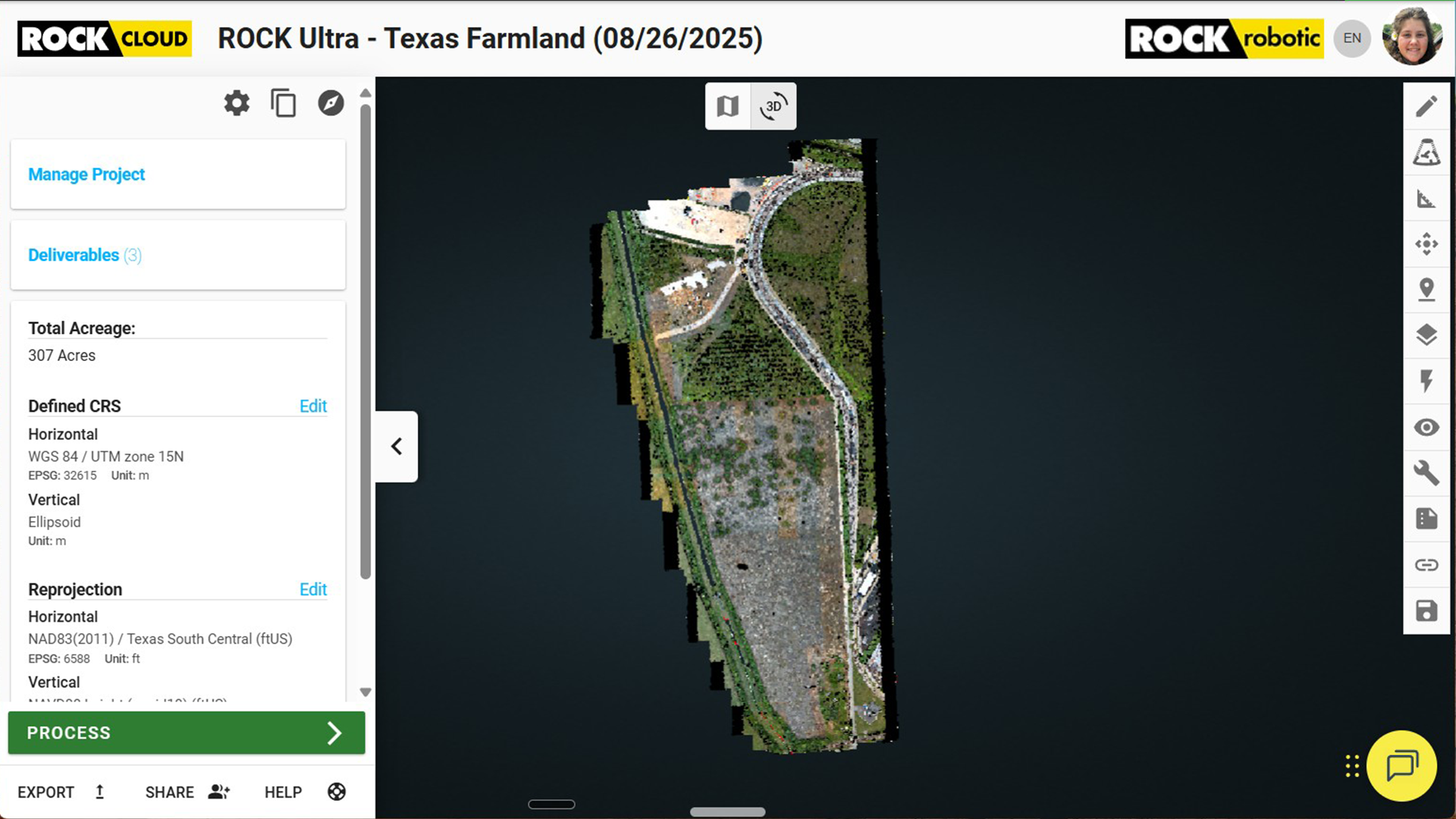
Drone Service Provider Achieves Unprecedented Efficiency with ROCK Ultra LiDAR on 300-Acre Rail Depot Project
Sep 03, 2025
Revolutionizing Rail Depot Mapping with ROCK Ultra LiDAR
In the dynamic world of drone services, efficiency and accuracy are paramount. Drew Disney, Operating Partner and Drone Pilot of Top Flight DSP, recently put the ROCK Ultra LiDAR system to the test on a demanding 300-acre rail depot expansion project in Beaumont, Texas. The results? A compelling case for the ROCK Ultra as a game-changer in aerial mapping, delivering high-quality data with remarkable speed and ease.
The ROCK Ultra is ROCK Robotic's flagship long-range drone LiDAR system, engineered to be the 'Easy Button' for professional LiDAR. It allows users to fly higher and faster, covering 2-3x more ground per flight while penetrating even the densest vegetation to capture the true ground. With a 1,000m effective range and 7 returns per pulse—the highest in the UAV LiDAR industry—the ROCK Ultra ensures unparalleled data quality and efficiency, seamlessly integrating into the ROCK workflow for field-to-finish solutions.
The Challenge: A Complex Rail Depot in Beaumont, TX
The project involved a vast rail depot in Beaumont, Texas, presenting complex site conditions. These environments often include varied terrain, numerous structures, and vegetation, all of which can complicate traditional surveying methods. Drew's goal was to accurately map the expansive 300-acre site efficiently and deliver reliable, ground-classified data.
Unlocking Efficiency with High-Altitude Flights
One of the standout features that significantly streamlined the project was the ROCK Ultra's capability for high-altitude flights. Drew Disney highlighted this as a key benefit:
Flying at 400 ft made everything easier. I could see the drone at all times, and the Ultra still delivered dense, accurate data—faster than I imagined.
This ability to operate at higher altitudes not only greatly improved the line of sight for the pilot, but also simplified mission planning. Fewer flight lines were required, leading to reduced flight time and fewer battery swaps, ultimately accelerating the overall project turnaround.
Superior Data Quality, Even in Challenging Environments
The ROCK Ultra proved its mettle by consistently delivering crisp, ground-classified data, even when faced with challenging elements like berms, embankments, and areas with underlying vegetation. This capability is critical for projects requiring detailed topographic information, where accurate ground classification is essential for engineering and construction planning.
Seamless Workflow from Field to Finish
Top Flight DSP's workflow was further enhanced by the seamless integration of ROCK Cloud and ROCK Desktop. These tools allowed for efficient processing and analysis of the LiDAR data, ensuring a smooth transition from data capture in the field to final deliverables. This end-to-end solution ensures that the trusted, survey-grade standards are met, providing clients with confidence in the data's integrity.
Why Choose the ROCK Ultra LiDAR?
Drew Disney's experience with the rail depot project underscores the core advantages of the ROCK Ultra LiDAR for surveyors and geospatial professionals:
- Speed and Coverage: Capture hundreds of acres in under an hour.
- Simplified Operations: Fly higher for better line of sight and easier mission planning.
- Cost-Effectiveness: Fewer flight lines and battery swaps lead to faster turnaround and operational savings.
- High-Resolution Data: Obtain dense, accurate datasets, even in areas with dense vegetation.
- Streamlined Workflow: Enjoy a smooth field-to-finish process with ROCK Desktop and ROCK Cloud.
- Reliable Deliverables: Produce trusted, survey-grade results for demanding projects.
The ROCK Ultra empowers every flight to be fast, accurate, and stress-free, making it an invaluable asset for complex mapping endeavors.
Explore the Dataset
Video Walkthrough
Learn More and Get a Quote
Ready to transform your aerial mapping projects with the ROCK Ultra LiDAR?
Top Flight DSP: https://www.topflightdsp.com
Join the ROCK Ultra Demo Tour: https://www.rockrobotic.com/news/rock-ultra-demo-tour/