Drone LiDAR in Action: Mapping Avalanche Paths with ROCK Ultra in Colorado
Sep 25, 2025
Overview
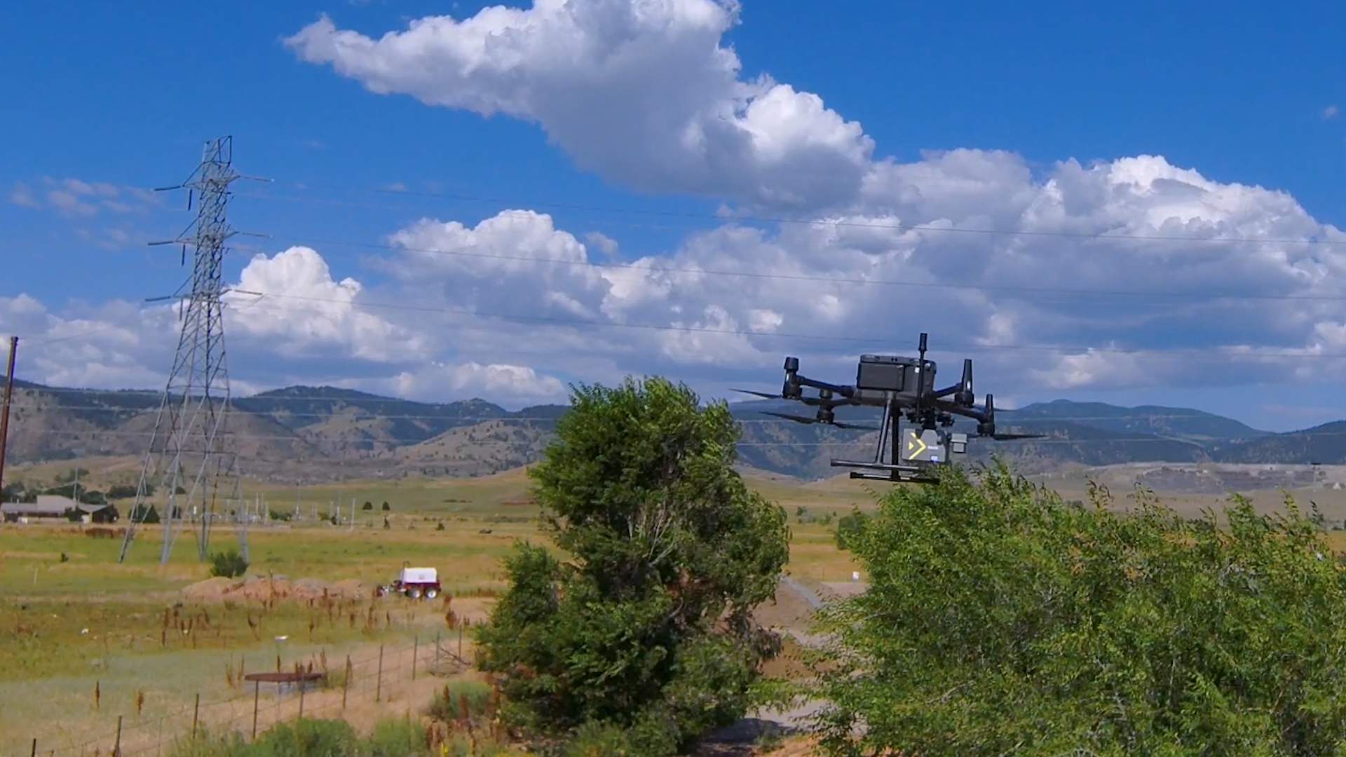
As part of the ROCK Ultra Demo Tour, our team joined Drew Serafin, COO of Featherlong Aerial in Colorado to put the ROCK Ultra LiDAR system through its paces. Featherlong Aerial specializes in remote sensing in some of the most difficult terrain—mountainous regions with steep elevation gains and remote access challenges. This made them an ideal partner to evaluate the Ultra in real-world survey conditions.
Drew selected an avalanche path near Frisco, Colorado as the test site. The location offered dramatic elevation changes, diverse vegetation, overhead utilities, waterways, and rugged terrain—exactly the kind of environment where reliable aerial LiDAR makes a difference.
Why drone LiDAR matters in mountainous surveying
Surveying in steep, forested terrain pushes traditional methods to their limits. Flat flight plans fall short when valleys and ridgelines shift elevation by thousands of feet. Terrain-following missions and accurate ground penetration are critical to producing usable datasets.
The ROCK Ultra’s ability to fly higher and faster, while still capturing dense point clouds, proved essential. In this mission:
- Flight altitude: 120 m AGL (compared to 50 m with the R3 Pro)
- Time savings: ~40% reduction in flight time while maintaining comparable data quality
- Coverage: Uniform returns across extreme terrain differences
*Being able to fly at 120 meters compared to 50 meters gave us a great safety buffer. We saw about a 40% reduction in flight time while still collecting high-quality data.
— Drew Serafin, COO, Featherlong Aerial
Field experience
The ROCK Ultra fit seamlessly into Featherlong’s existing workflow. Drew noted that the transition from the R3 Pro was “plug and play,” requiring no major changes to their standard operating procedures.
The Ultra was plug and play. The workflow was identical to the R3 Pro, so it integrated directly into our system without any extra effort.
— Drew Serafin
This meant the only adjustments were flight parameters—higher altitude, faster speed, and wider coverage—all of which improved efficiency without sacrificing accuracy.
Data quality and capture highlights
The dataset revealed impressive detail across a wide variety of features:
- Utilities: Power lines captured clearly, even when flown perpendicular to the corridor (a major improvement over prior systems).
- Vegetation: Excellent ground penetration in dense forest and scrub oak, critical for construction planning.
- Waterways: Small creeks and drainage features mapped accurately.
- Structures and trails: Even subtle footpaths and surface details became visible in the processed surface model.
Jamie Lackner, ROCK Pro Services Manager, also reviewed the dataset and noted how fine details—like hidden walking trails—were highlighted once the surface model was generated. These features confirm the Ultra’s ability to reveal details missed in raw point clouds or with other sensors.
Dataset visuals (photo slider)
Below is a gallery of stills generated from the ROCK Ultra dataset captured during the demo tour. These views illustrate elevation, intensity, RGB, and surface outputs used in aerial 3D mapping.
Technical summary
- Collected by: ROCK Robotic + Featherlong Aerial
- Location: Avalanche path near Frisco, Colorado
- Total area covered: ~545 acres
- Flight height: 120 m (394 ft AGL)
- Flight speed: Standard demo tour parameters (~6–7 m/s)
- Flight type: Demo tour — mountainous aerial mapping
- Outputs: Raw point cloud + surface models + contours/breaklines
About the partner
Featherlong Aerial specializes in commercial UAV operations and data capture for surveying, construction, and asset management. Learn more at fla.us.com.
Start your next survey with ROCK Ultra
If you’re planning a project that needs accurate land surveying and aerial 3D mapping data in tough terrain, the ROCK Ultra offers the coverage, density, and reliability field teams need—without overcomplicating the workflow.