Flying Solo: How a Single Surveyor Used ROCK Ultra Drone LiDAR to Map a Mountain Ski Resort
Oct 31, 2025
Force Multiplier in the Mountains: A ROCK Ultra Demo Tour Story 🇨🇦
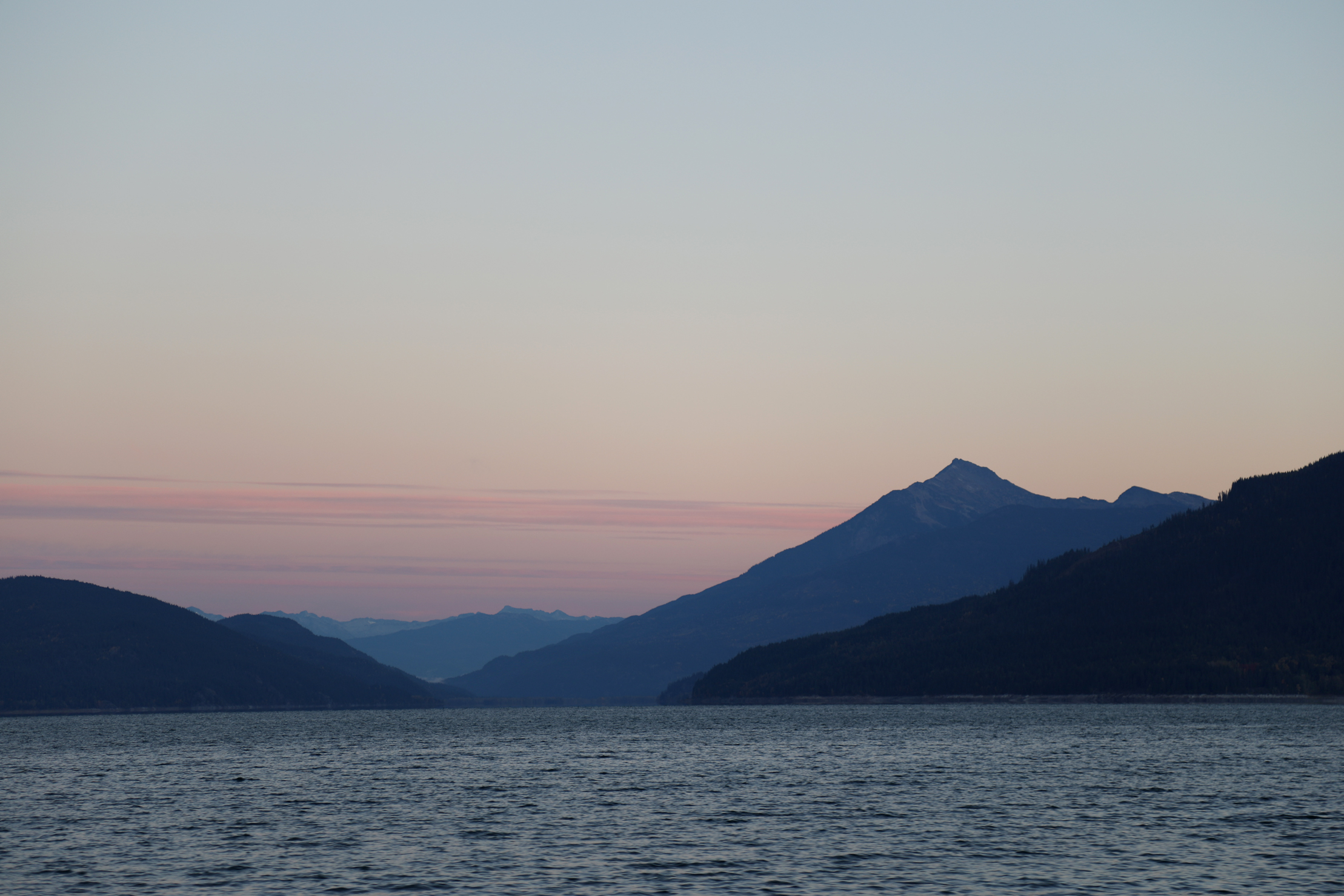
When you fly LiDAR in the mountains of British Columbia, precision isn’t a luxury — it’s survival.
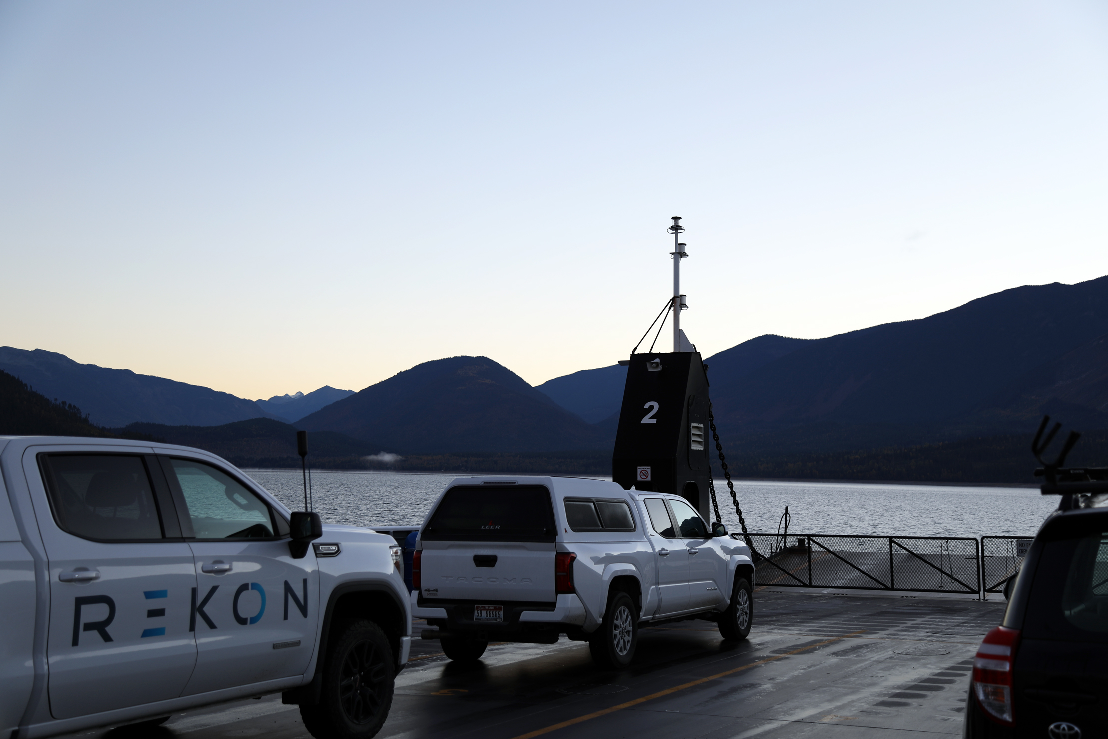
For Vashaun Henderson, Operations Director of Rekon Solutions, this wasn’t just another test flight.
It was an opportunity to see how far a small, two-person drone services company could push high-altitude mapping — and how the ROCK Ultra LiDAR system would perform in one of the toughest environments in North America.
The mission: map a new access road design for the developing Zincton Mountain Resort, a ski destination tucked deep within steep, forested terrain.
The Challenge: Steep Slopes and Narrow Windows
The site offered no easy conditions — tight valleys, tall conifers, and shifting weather windows that left only a few hours of daylight to fly.
Traditional LiDAR sensors would have required low, risky passes and long flight times to achieve design-grade data.
But the ROCK Ultra changed that equation.
Flying at 400 feet and still getting crisp, clean ground data through dense canopy — it’s night and day compared to what we used to fly
-- Vashaun Henderson.
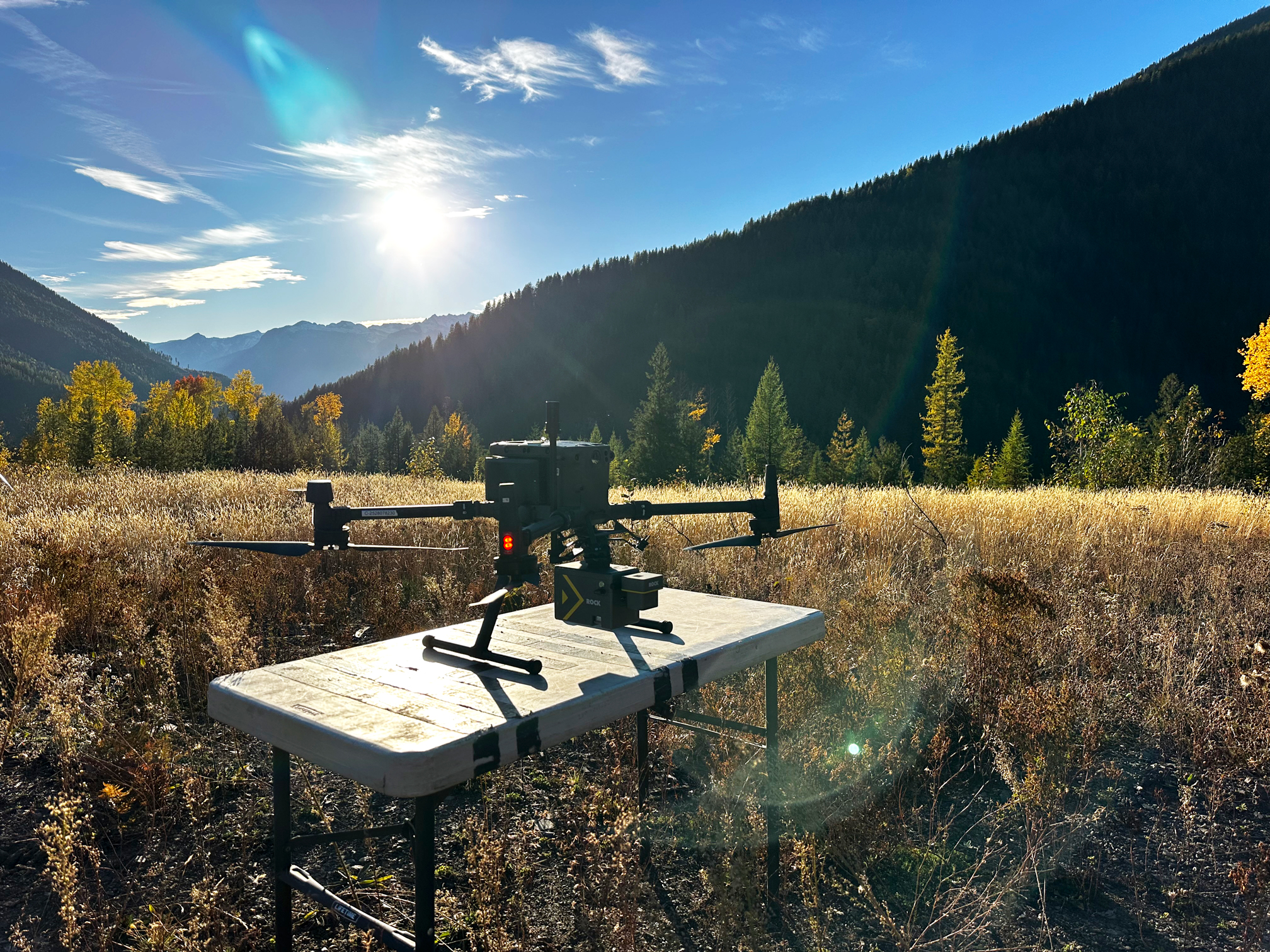
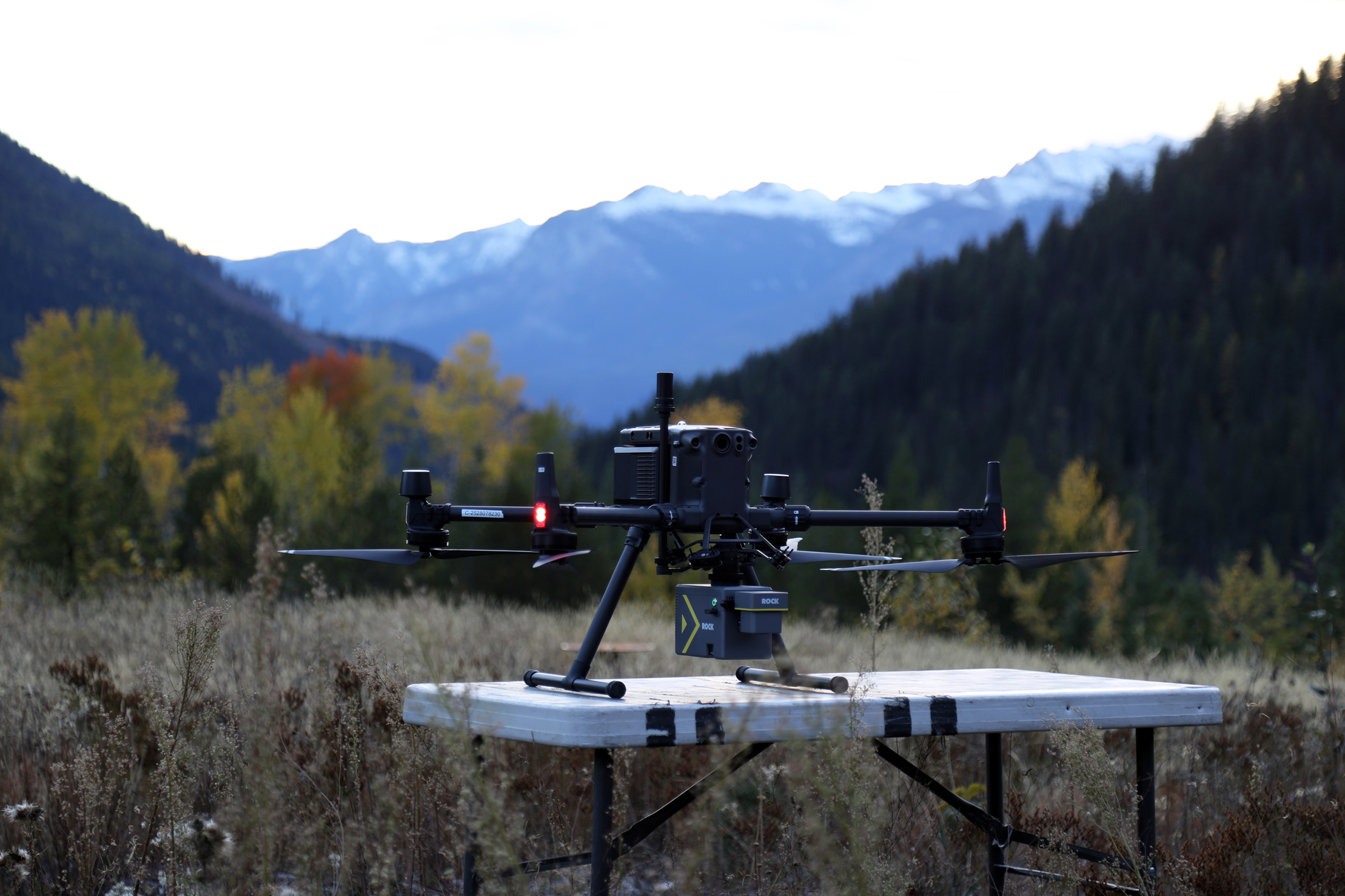
The Flight: Solo Operation, Maximum Confidence
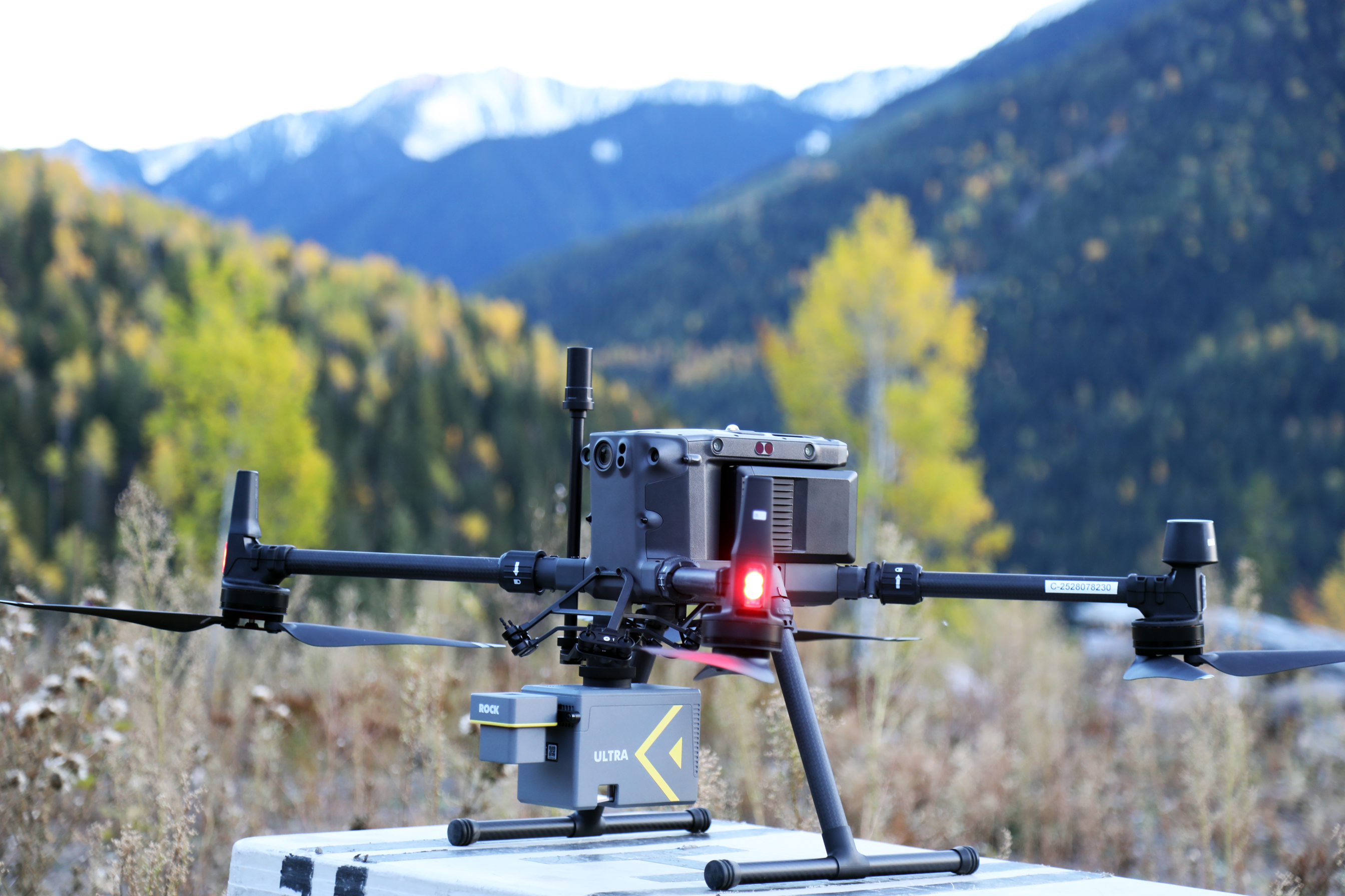
Working with limited manpower, Henderson flew the Ultra solo, with only the client onsite for safety support — a testament to the system’s efficient workflow and standoff capability.
He planned the mission using Universal Ground Control (UGCS), flying at 400 feet AGL (≈120 meters) with 60% side overlap to ensure high-resolution ground penetration.
In just two hours on site, the Ultra captured everything the project demanded: clean, accurate data suitable for access road design, slope stability assessment, and drainage planning.
The Results: Clean, Crisp, and Confident
When the dataset reached the ROCK Pro Services team for processing, the results stood out immediately.
This is one of the crispest surface models I’ve ever worked on, said Jamie Lackner, who led the dataset QA/QC.
We could see every trail network and road contour — even under dense vegetation.
The Ultra’s ability to maintain clarity at altitude and penetrate through heavy canopy impressed both teams, proving it could deliver premium results faster and safer than traditional methods.
About the Dataset
Dataset Details
→ Collected By: Rekon Solutions (Vashaun Henderson & Jake Mulholland)
→ Job Site: Ski Resort Access Road – Zincton Mountain Resort, British Columbia, Canada
→ Time on Site: ≈120 minutes
→ Total Area: ≈740 acres (multiple km²)
→ Flight Height: 400 ft AGL (≈120 m)
→ Flight Speed: 10 m/s
→ Side Overlap: 60%
→ Dataset Features:
✓ Clean, noise-free ground surface capture
✓ Strong vegetation penetration
✓ Detailed elevation for slope and drainage design
✓ Efficient capture with minimal crew
The Journey to Zincton
For Rekon Solutions, the ROCK Ultra proved more than a new sensor — it became a force multiplier.
By combining standoff altitude, high accuracy, and fast workflow, it allowed a small Canadian team to deliver a large-scale dataset with precision once reserved for far larger crews.
And as the ROCK Ultra Demo Tour continues across North America, this project stands as proof that modern LiDAR isn’t just about collecting points —
it’s about capturing confidence.