High-Altitude LiDAR: Mapping at 150m AGL with the ROCK Ultra (Data Walkthrough)
Jul 21, 2025
Introducing the ROCK Ultra, your ultimate solution for high-precision data collection. With the ability to fly at 150 m (492 ft) AGL, the ROCK Ultra captures ultra-dense, survey-grade point clouds in a single pass, delivering razor-sharp accuracy and lightning-fast data collection. Drone LiDAR is evolving—and precision at altitude is finally practical. Let’s dive into the features that make the ROCK Ultra a serious tool for professionals in the surveying and mapping industry.
Key Features of the ROCK Ultra LiDAR System
Extended Range & Altitude
The ROCK Ultra boasts an incredible 1,000 meters of range, allowing for flexible operation without compromising data quality.
High-Precision Ranging Accuracy
Achieving 5 millimeters ranging accuracy at 120 meters AGL, the ROCK Ultra is designed for topographic surveys and infrastructure mapping, ensuring survey-grade precision.
Lightweight Design with Integrated Camera Options
Weighing just 1.21 kg (or 1.4 kg with the camera), the ROCK Ultra is optimized for drone integration without sacrificing payload capacity. A **45-megapixel camera version **is also available for enhanced photogrammetry applications.
Advanced Vegetation Penetration
With seven returns per pulse, the ROCK Ultra excels in penetrating dense vegetation, capturing bare earth data beneath forest canopies or thick brush—a critical factor in forestry and environmental monitoring.
High-Density Point Cloud Collection
Capturing up to one million points per second, the ROCK Ultra produces dense, accurate data sets, even when flying at higher speeds and altitudes. This capability supports rapid area coverage and detailed capture for 3D mapping.
Practical Implications for Surveyors and Mapping Professionals
Reduced Terrain Following Constraints
The ROCK Ultra’s extended flying range and high accuracy reduce dependency on highly accurate digital elevation models for terrain following during drone flights. Operators can maintain higher altitudes without risking data loss or collision, improving safety and efficiency.
Enhanced Productivity in Variable Weather
The ROCK Ultra's ability to fly higher and cover larger areas quickly means survey teams can make the most of limited weather windows, keeping projects on schedule.
Large Area Coverage
The ROCK Ultra can capture thousands of acres in a single day, making it ideal for expansive projects such as land development, forestry, and utility corridor mapping.
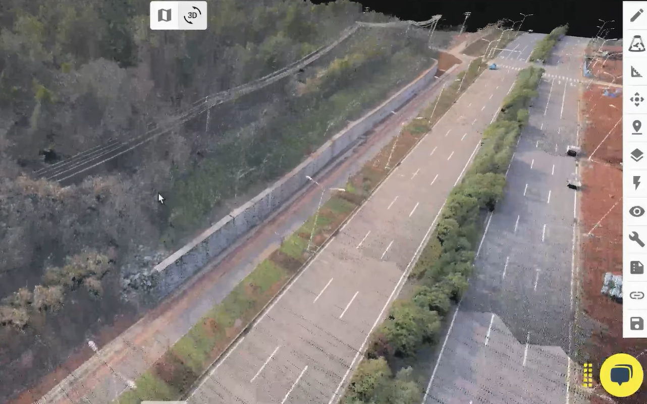
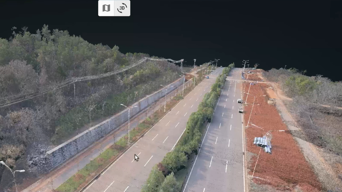
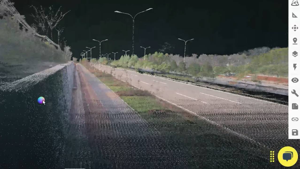
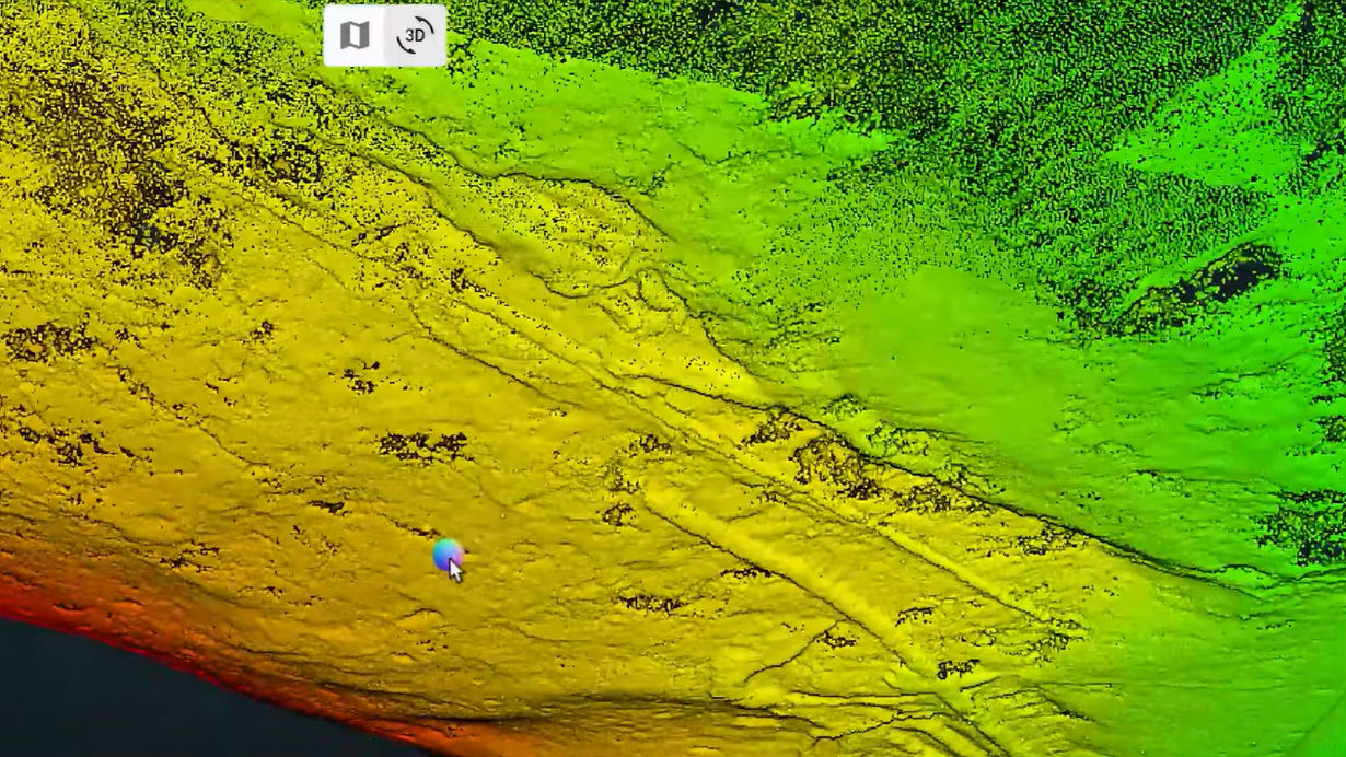
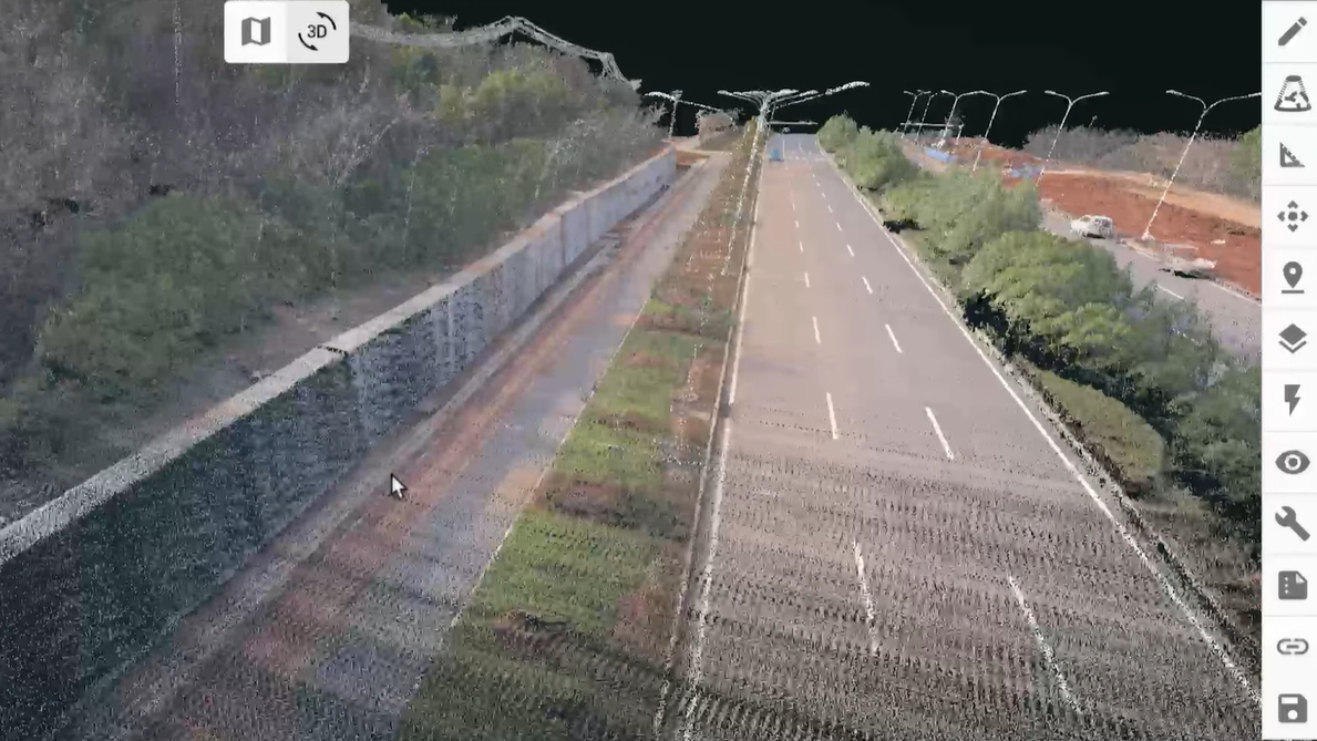
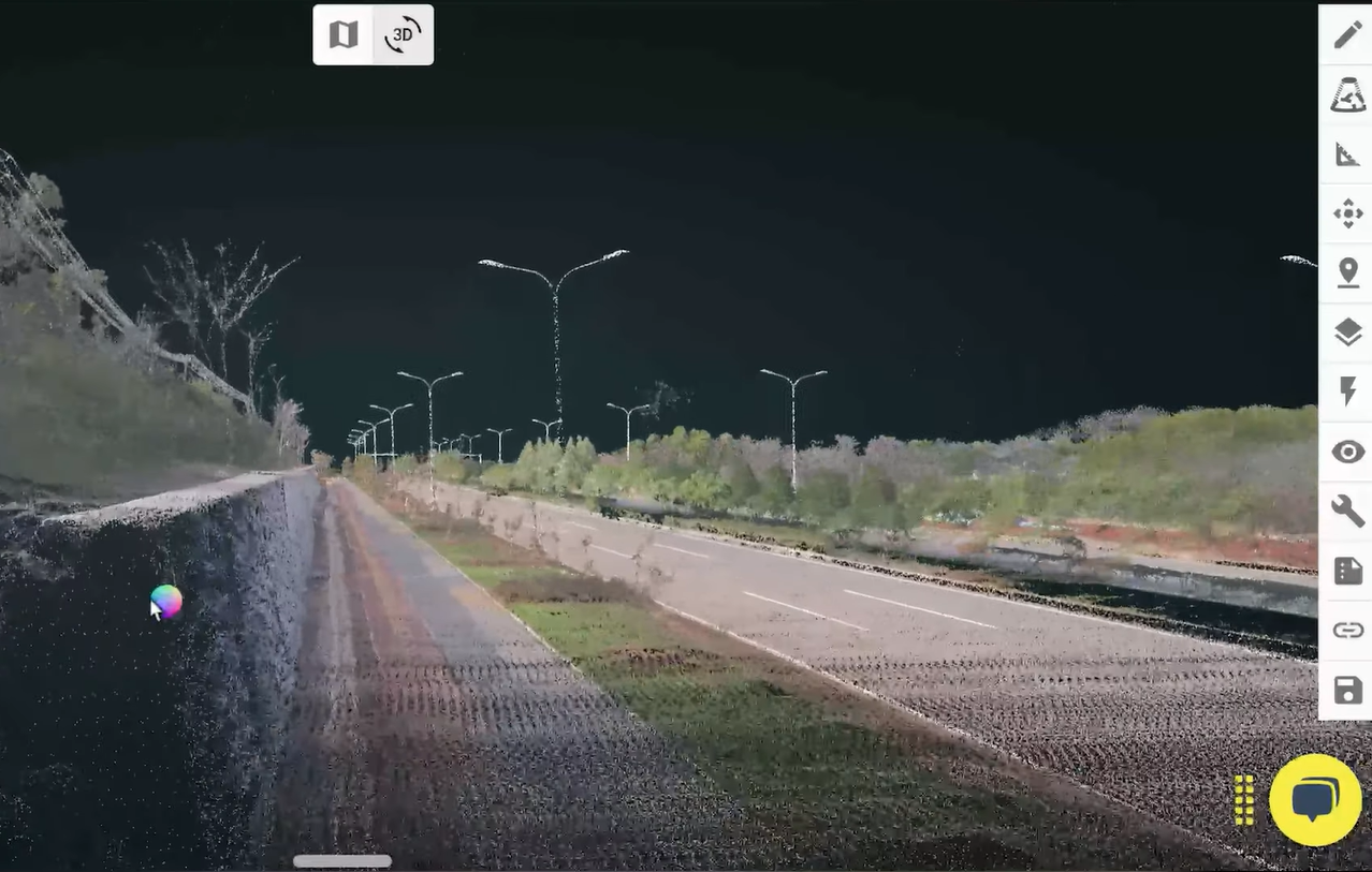
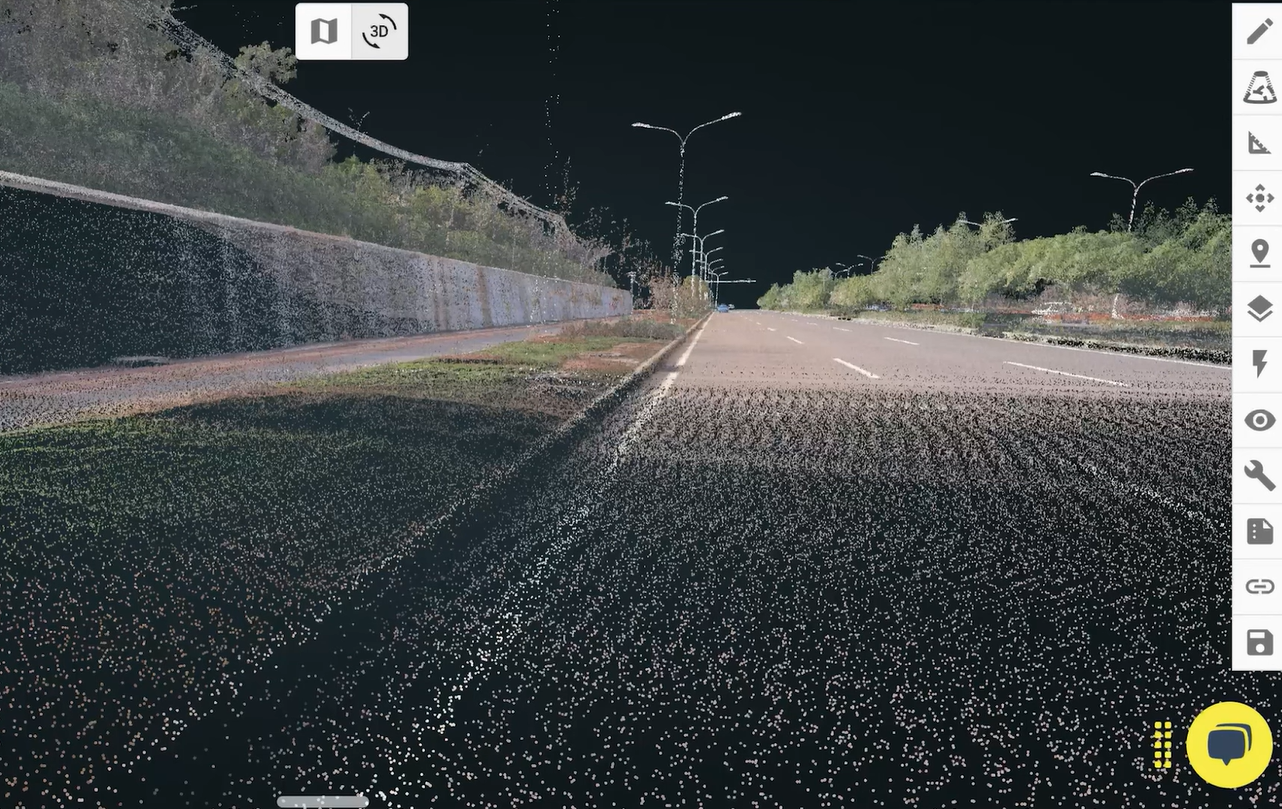
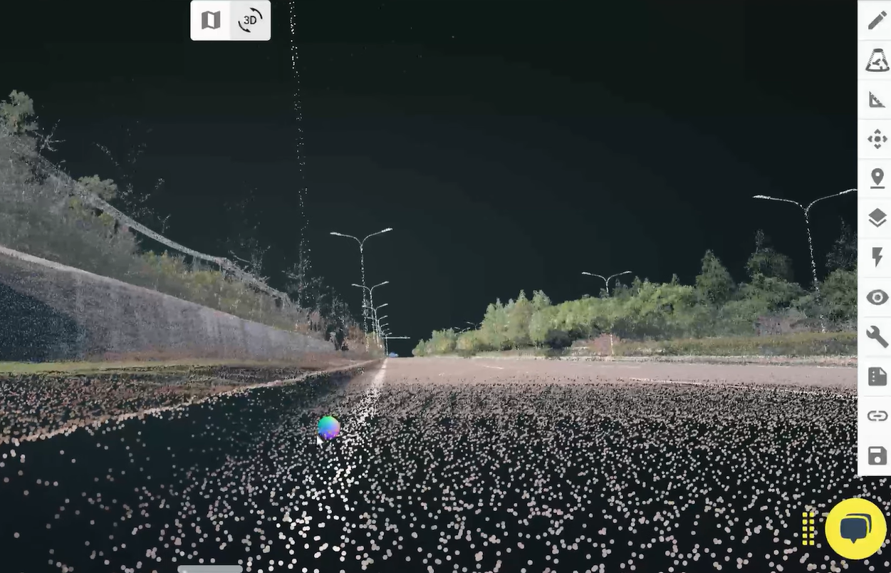
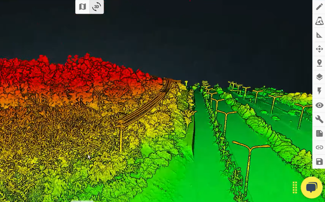
ROCK Ultra Data Quality Demonstrated: Examples from 150 m AGL
Crisp Structural Detail
Even at 150 meters AGL, the ROCK Ultra data reveals sharp, well-defined features such as retaining walls and curbs, vital for civil engineering and construction site surveys.
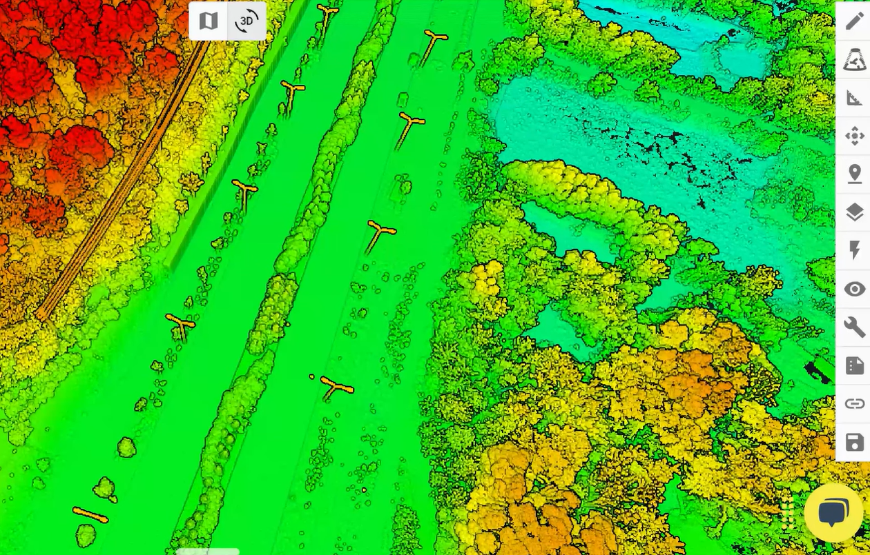
Vegetation and Bare Earth Separation
The ROCK Ultra utilizes seven returns, which allows clean differentiation between dense tree canopy and the bare earth surface below to result in a smooth, accurate digital elevation model (DEM) suitable for environmental analysis.
Integrated Photogrammetry for Orthomosaics
The ROCK Ultra's onboard camera produces precise orthomosaics aligned with LiDAR data for accurate XY positioning, enhancing mapping deliverables with integrated aerial photography.
Power Corridor Mapping
ROCK Ultra’s wide 90-degree field of view allows for single-swath coverage of approximately 240 meters at 120 meters altitude, ideal for fast utility mapping, reducing flight time and data processing overhead.
The ROCK Ultra is a Game-Changer for Your Business
The ROCK Ultra combines cutting-edge technology with user-friendly design, making it the ideal choice for modern LiDAR surveying. Its ability to deliver dense, actionable data at higher altitudes and speeds means you can tackle even the most demanding projects with ease.
Join the revolution in LiDAR Surveying. The ROCK Ultra is not just another tool - it's your partner in achieving precision, efficiency and quality in your projects.
For more details on how the ROCK Ultra can fit into your surveying toolkit, visit rockrobotic.com/ultra.