Fly Higher, Finish Faster: How Florida Design Consultants Mapped 500+ Acres in One Flight with ROCK Ultra
Aug 20, 2025
In the dynamic world of civil engineering and land surveying, efficiency and accuracy are paramount. For Florida Design Consultants, Inc. (FDC), a firm with over 28 years of experience, embracing cutting-edge technology has been key to their success in the Tampa Bay region. Their partnership with ROCK Robotic, particularly with the new ROCK Ultra LiDAR, has revolutionized how they approach large-scale, multi-phase residential projects, delivering significant savings in time, manpower, and overall control.
The shift to drone-based LiDAR systems has proven to be a "huge benefit in time" for FDC, allowing them to complete extensive surveys in a fraction of the time traditionally required. This not only reduces costs but also streamlines the entire development process, from initial planning to final deliverables.
The Zephyrhills Multi-Phase Residential Project
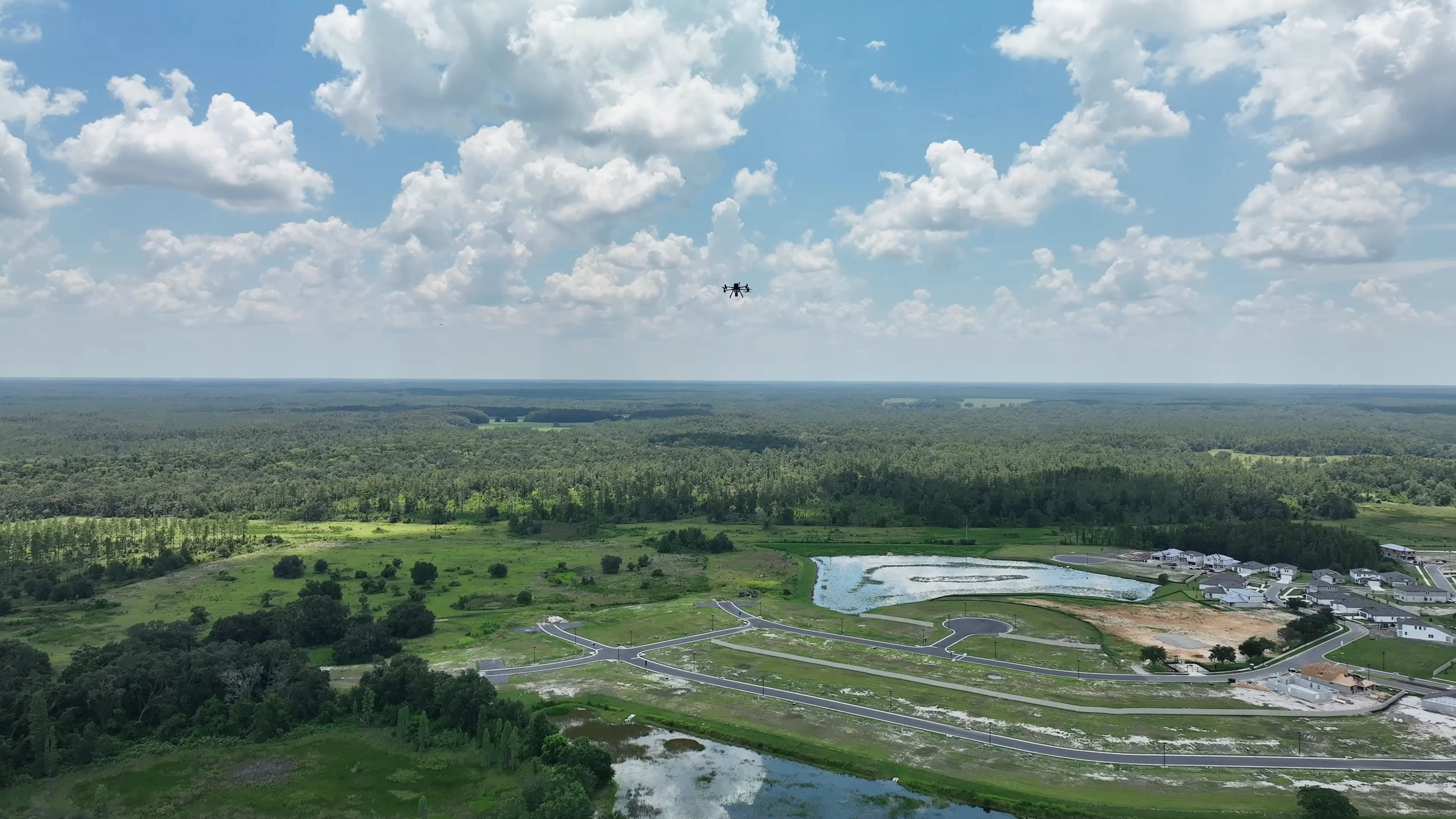
A prime example of this transformative approach is the Zephyrhills Multi-Phase Residential project in Florida. This extensive site, spanning over 500 acres, presents a complex mix of terrain, including existing housing, new road construction, wooded areas, and swamps.
Brian Drinkwater and Matt Barksdale of Florida Design Consultants explain that this site has served as a "perfect proving ground" for ROCK Robotic's LiDAR technology. FDC has a long-standing relationship with ROCK Robotic, having used three different ROCK sensors on this very site over the past four years, starting with their first R2A flight and progressing to today's Ultra. This continuous engagement allows them to compare results and witness the evolution of the technology firsthand.
The site's diverse landscape is ideal for testing the sensor's capabilities, as it encompasses "wetlands, woods, fields—it's pretty much all of that thrown onto one site," before being developed into neighborhoods. This variety ensures that the LiDAR system can handle virtually any environmental challenge encountered in real-world applications.
Introducing the ROCK Ultra LiDAR
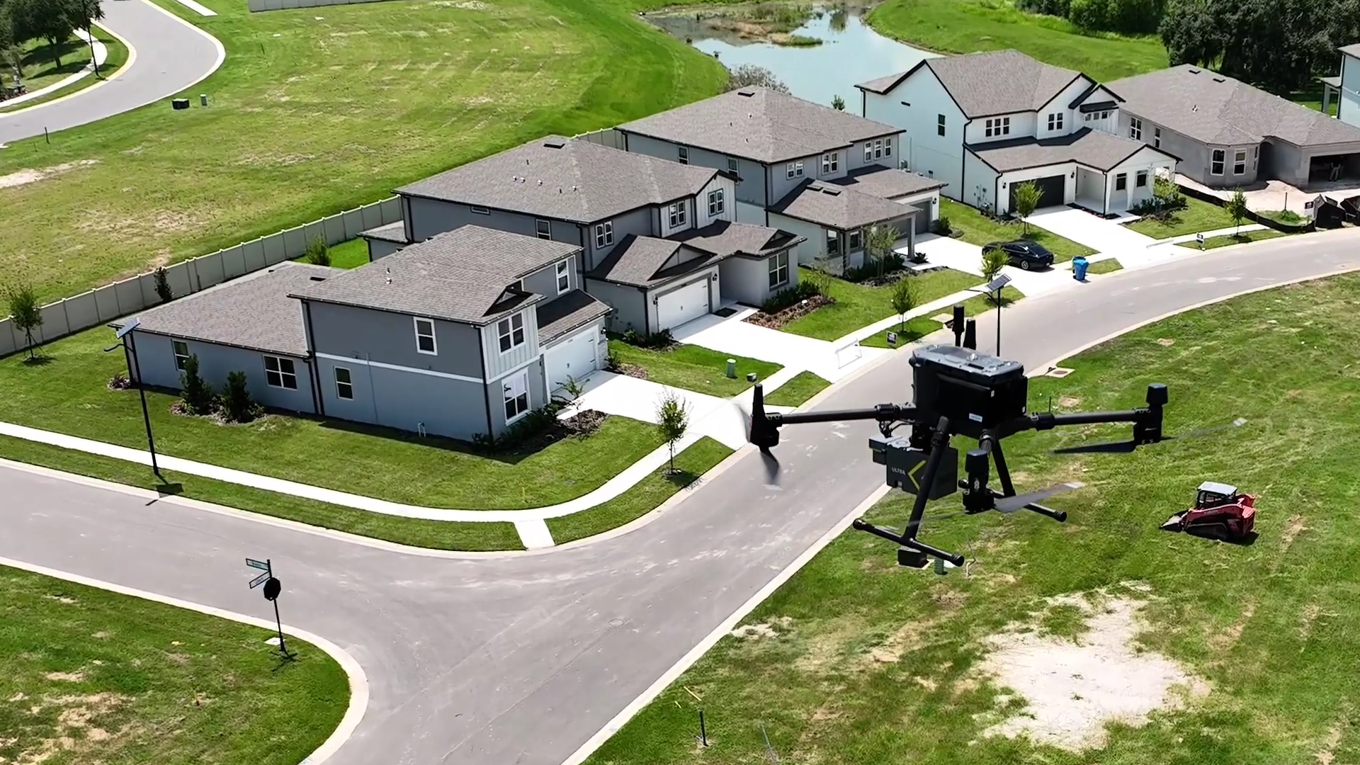
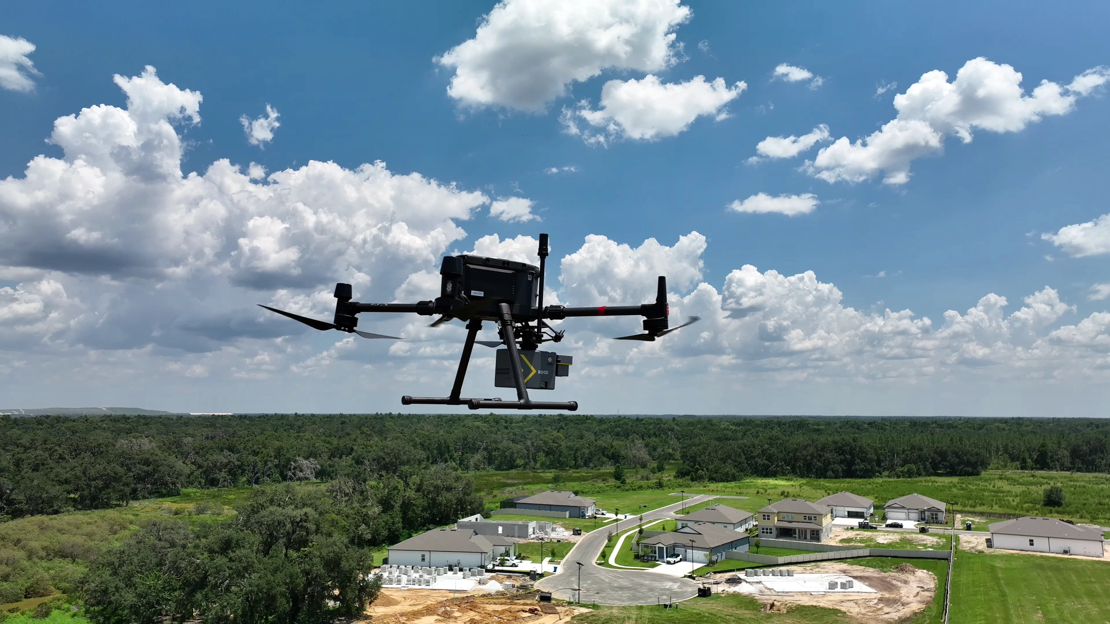
The ROCK Ultra LiDAR is the latest innovation in aerial and drone LiDAR hardware and software from ROCK Robotic. Designed for unparalleled performance, the Ultra delivers precise, high-quality results for even the most complex projects. It boasts an increased flying height and speed, allowing for significantly greater coverage per flight compared to previous models. Backed by the ROCK Pro Services Team, who process over a million acres of data with expert QC/QA, the Ultra ensures reliable and accurate data for critical applications.
For Florida Design Consultants, the ROCK Ultra has "changed the game." It provides survey-grade precision while operating at higher altitudes and speeds. As Brian Drinkwater notes, the Ultra delivers data "similar to the data we get from the R3 at less than half the height and half the speed." This capability means drastically reduced field time, fewer battery swaps, and less logistical hassle for large-scale surveys.
Unprecedented Efficiency and Accuracy
The impact of the ROCK Ultra on FDC's workflow has been substantial. Previously, surveying the 500+ acre Zephyrhills site would have taken "two or three days, just cycling batteries" with older methods. With the ROCK Ultra, the entire site can be surveyed in a single one-hour flight, requiring only one battery swap. This represents a massive saving in time and resources.
Everything involved in the process is just faster, easier. Didn’t have to take an ATV to the job, didn’t have to pull a trailer, didn’t have to have fuel. Just so many things were eliminated by having that sensor that eliminated a lot of room for error and a lot of possibilities for things to go wrong.
— Matt Barksdale, Survey Project Manager / UAS Pilot, Florida Design Consultants, Inc.
The ease of use is also a significant factor. Setting up and flying the ROCK Ultra is "about identical" to previous ROCK sensors. Users simply connect it to the drone, push one button, and let it perform its pre-programmed flight, checking itself along the way.
The data quality from the ROCK Ultra, available through the ROCK Cloud, is exceptionally crisp and detailed, even when flown at high altitudes of 120 meters. This detail allows FDC to capture crucial information like pad elevations and roads with high accuracy, which is vital for construction phases. The LiDAR data is now used as a permanent record, allowing FDC to identify areas of concern and send crews out to double-check specific locations, rather than relying solely on extensive manual surveys. The intensity setting on the Ultra provides a "sharper look" with improved "color depth," making it easier to visualize and interpret control points.
Explore the Data in ROCK Cloud
Dive into the details of the Zephyrhills Multi-Phase Residential dataset captured with the ROCK Ultra. The following images showcase the clarity and precision of the data within the ROCK Cloud platform.
The Future of Surveying
The experience of Florida Design Consultants highlights a clear trend: the integration of advanced drone LiDAR technology, like the ROCK Ultra, is fundamentally reshaping the surveying landscape. By providing unparalleled speed, coverage, and accuracy, the Ultra empowers civil engineering and surveying firms to take on larger, more complex projects with greater confidence and efficiency. When speed, coverage, and accuracy all line up, there’s only one thing left to say: ROCK Ultra.