Elevate Your Job Site: Why Drone LiDAR from ROCK Robotic is the Best Solution for Construction Project Management
Sep 17, 2025
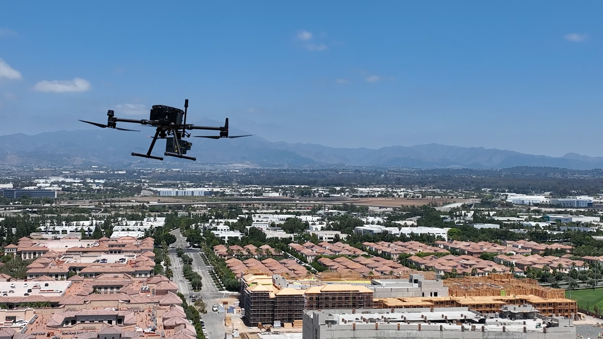
Construction is an industry built on precision, but traditional methods of surveying and site management can be time-consuming, costly, and even dangerous. Today, new technologies are providing a fresh perspective. We recently had the opportunity to capture a detailed dataset of an active construction zone in North Laguna Hills, California, using our state-of-the-art ROCK Robotic Ultra LiDAR. This project highlights a game-changing truth: the fusion of drone and LiDAR technology is not just an alternative—it's the future of construction management.
The Power of Drone-Based LiDAR in Construction:
Aerial LiDAR, or Light Detection and Ranging, uses pulsed lasers to measure distances and create highly accurate, three-dimensional representations of the environment. When mounted on a drone, this technology offers unparalleled benefits for construction projects:
- Enhanced Project Monitoring: Regular, high-frequency scans provide a living record of the construction site. Project managers can use this data to compare "as-built" conditions against original plans, ensuring work is on track and identifying deviations early. The North Laguna Hills dataset, for example, captured individual beams and detailed construction outlines, offering a level of scrutiny that would be impossible with manual inspection.
- Improved Safety: By remotely mapping hard-to-reach or hazardous areas, drones eliminate the need for workers to be in risky situations, such as on unstable terrain or at dangerous heights. This not only protects personnel but also reduces liability and insurance costs.
- Accurate and Rapid Data Collection: A drone can survey a large area in a fraction of the time it would take a manual crew, providing accurate and comprehensive data for earthwork calculations, stockpile volume measurements, and site topography. This efficiency saves valuable time and resources, helping to prevent costly project delays and overruns.
- Dispute Resolution: The timestamped, georeferenced data serves as a clear, objective record of site progress. This can be invaluable in resolving payment disputes or settling claims, providing irrefutable evidence of completed work.
A Look at the Data: North Laguna Hills Construction
The North Laguna Hills project perfectly demonstrates these advantages. The dataset, a subsection of a larger North Irvine construction flight, showcased both new construction and established urban areas. A key focus of the flight was a large bridge and a creek bed, areas that are notoriously difficult to map accurately with traditional methods. By using break lines, we ensured the bridge's structure and the details of the walking path and creek bed were clearly defined, overcoming the sloping and indistinct features that would otherwise appear in a raw surface model.
The data also offered a compelling look at the active construction zone itself. The detail captured was so fine that individual beams and building footprints were clearly discernible. This granular level of detail makes a strong case for using this kind of data for construction inspection, allowing project managers to zoom in on specific areas to assess progress and quality.
The Technology Behind the Scan: The ROCK Ultra LiDAR
The precision and clarity of this data are a direct result of the ROCK Ultra, a long-range drone LiDAR system designed for professional-grade mapping. The Ultra's "Easy Button" workflow simplifies mission planning, allowing it to fly higher and faster while covering a larger area per flight. Its standout features include:
- Extended Range: An effective range of up to 1000m allows for high-altitude flights, simplifying mission planning and avoiding ground-level obstacles.
- Unmatched Penetration: With up to 7 returns per pulse and a powerful 1550nm laser, the Ultra can reliably penetrate dense vegetation to capture the true ground, a crucial feature for projects in varied terrain.
- High-Density Point Cloud: A focused 90-degree field of view directs a powerful 1 million points per second onto the project area, ensuring maximum data density and stunning detail.
Data Insights from the Flight:
The North Laguna Hills project covered a significant 113 acres. The data was collected with a flight speed of 7 m/s at an altitude of 70 m. These parameters, carefully chosen for this specific site, ensured a high-density point cloud that captured the intricate details of the active construction zone, from individual building footprints to the fine features of the creek bed and bridge. The ability to collect this level of detail efficiently highlights the power of the ROCK Robotic Ultra for large-scale construction monitoring.
Final Thoughts:
The North Laguna Hills flight is more than just a dataset—it's a tangible example of how advanced aerial LiDAR technology is reshaping the construction industry. From urban planning and infrastructure mapping to ongoing project monitoring and safety inspection, the benefits are clear. You can gain a true, up-to-the-minute understanding of your project, identify potential issues before they become problems, and ensure your crews are on track to meet deadlines.