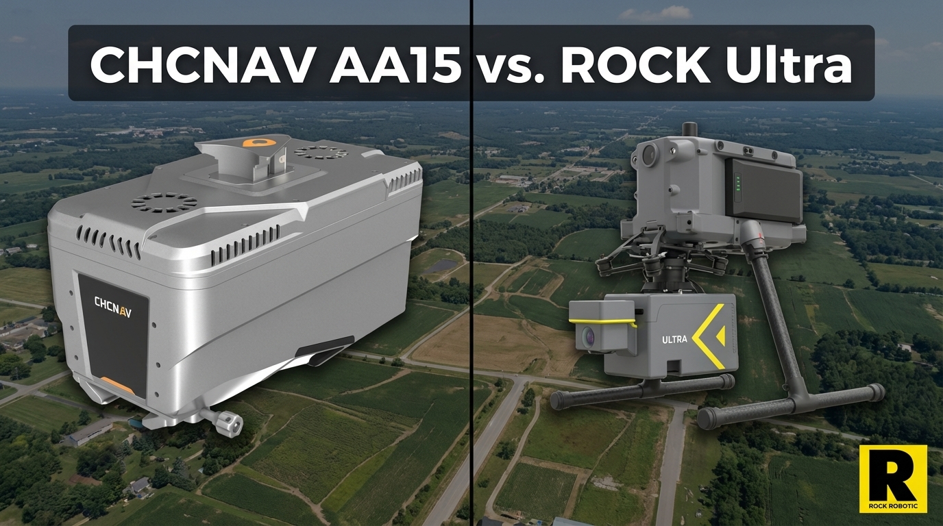
CHCNAV AA15: Monster Specs, But Can You Actually Deploy It?
Apr 01, 2026
The CHCNAV AlphaAir 15 has the most impressive headline numbers of any UAV LiDAR system currently on the market. 1,800 m maximum range. 2 million points per second. Up to 16 returns. Operating altitude up to 700 m AGL. On paper, it makes every other UAV LiDAR — including the ROCK Ultra — look conservative.
So let's be upfront: if you're evaluating long-range UAV LiDAR purely on specification sheets, the AA15 wins those columns.
But survey businesses aren't run on spec sheets. They're run on billable projects, repeatable deployments, and defensible contract awards. And when you evaluate the AA15 on those terms, the comparison looks very different.
What CHCNAV Got Right
CHCNAV is a serious geospatial technology company with global distribution and a track record in GNSS, survey instruments, and now airborne LiDAR. The AA15 represents genuine engineering achievement:
- 1,800 m maximum range — highest in the UAV LiDAR market by a significant margin
- 2 million points per second — matches the DJI L3 at the top of the pulse rate tier
- Up to 16 returns — strong vegetation penetration capability
- 700 m AGL operating altitude — designed for high-altitude corridor work
- 1550 nm wavelength — true long-range laser performance
- Multi-platform compatibility — drone, small aircraft, helicopter — more versatile than many competitors
- 130 MP oblique camera option — exceptional imagery for photogrammetric integration
For manned aviation operators, for large-scale corridor mapping at altitude, or for research applications needing maximum range — the AA15 specs are genuinely compelling.
1. The Weight Problem: 2.5 kg vs. 1.4 kg
The AA15 weighs 2.5 kg.
The ROCK Ultra weighs 1.4 kg.
That 1.1 kg difference isn't trivial. The AA15's weight pushes you toward heavy-lift platforms — the CHCNAV X500 or similar heavy-duty drones. These aircraft cost more, require more complex maintenance, and carry higher operational overhead than the M350 or Astro platforms the Ultra flies on.
More critically: a heavier system means shorter flight endurance, smaller coverage per battery, and higher per-acre operational cost on most survey project types.
For the corridor and high-altitude work the AA15 is designed for, heavy-lift capability matters. For the mix of topo, construction, ALTA, and infrastructure work that most commercial survey firms do day-to-day, 2.5 kg is a burden that doesn't earn its keep.
2. NDAA Compliance: A Binary Disqualifier
The CHCNAV AlphaAir 15 is a Chinese-manufactured product. Like DJI, it does not meet NDAA compliance requirements for US government contracts.
This isn't a minor limitation. The NDAA (National Defense Authorization Act) prohibits procurement of telecommunications and surveillance equipment from covered Chinese manufacturers for US government use. CHCNAV falls under this restriction.
If your survey practice includes or intends to include:
- Federal agency contracts
- DOT or state transportation projects
- Utility infrastructure work for regulated utilities
- Military installation surveys
- Any federally funded project with supply chain requirements
...the AA15 cannot be your platform. Period. No workaround, no NDAA-compliant drone makes the sensor itself compliant.
The ROCK Ultra, mounted on a Freefly Astro or Inspired Flight IF800 Tomcat, achieves full NDAA compliance. These are US-manufactured aircraft that meet Blue UAS framework requirements. The combination is the solution for government-grade LiDAR work.
3. The Ecosystem Gap
CHCNAV's software ecosystem — SmartGo for mission planning, CoPre and CoProcess for post-processing — is functional but largely optimized for CHCNAV's own workflows and primarily designed around Asian market conventions.
Western survey firms evaluating the AA15 consistently note that integration with common US workflow tools requires additional effort. There's no equivalent to ROCK Cloud's field-to-finish automation or to LP360's depth for Western markets.
Most importantly: CHCNAV has no equivalent to ROCK Pro Services.
When ROCK Ultra customers finish a flight, they have options:
- Process in ROCK Cloud with automated strip alignment, ground classification, and contour extraction
- Submit to ROCK Pro Services and receive CAD-ready planimetrics within 3-5 days, reviewed by licensed surveyors
CHCNAV customers finish a flight with a raw point cloud and a post-processing pipeline to figure out on their own.
4. The 90° FOV Advantage
The ROCK Ultra uses a 90° focused downward FOV. This isn't a limitation — it's a deliberate design choice.
A focused 90° FOV means virtually every photon the Ultra emits hits your target area directly below the aircraft. You're not scattering points to the horizon, measuring 360° of sky, or wasting pulse budget on the surrounding terrain you're not mapping.
The AA15 uses a wider scan pattern (estimated ~360° in some configurations). On paper, wide FOV sounds more capable. In practice, for ground mapping applications, a focused downward FOV puts 3× the useful point density on your actual project area versus a 360° system at comparable pulse rates.
For Big Sky Aerial Solutions doing utility corridor vegetation management, or for GPI mapping a 360-acre urban redevelopment site, every point needs to hit the target. The Ultra's focused FOV is a practical advantage on real survey projects.
5. Western Support and Serviceability
CHCNAV's global support infrastructure is growing, but it remains primarily Asia-Pacific focused. For US-based survey firms, reaching knowledgeable CHCNAV technical support for a post-processing question or a calibration issue is a different experience than calling ROCK.
ROCK Robotic support is staffed by practitioners who fly this equipment on real projects. When you have a strip alignment problem on a time-sensitive job, you want to talk to someone who has solved that specific problem — not navigate a global support ticket queue.
Head-to-Head: ROCK Ultra vs. CHCNAV AA15
| ROCK Ultra | CHCNAV AA15 | |
|---|---|---|
| Wavelength | 1550 nm | 1550 nm |
| Max Range | 1,000 m (80% reflectivity) | 1,800 m max |
| Point Rate | 1M pts/s | 2M pts/s |
| Returns | 7 | Up to 16 |
| FOV | 90° focused downward | ~360° (wider scatter) |
| Weight | 1.4 kg | 2.5 kg |
| Platform | M350, Astro, IF800 | CHCNAV X500 / heavy-lift |
| NDAA OK? | Yes (on Astro/IF800) | No |
| Cloud Workflow | ROCK Cloud + Pro Services | CoPre/CoProcess |
| Pro Deliverables | ROCK Pro Services | No equivalent |
| Western Support | US-based practitioners | Asia-Pacific primary |
Where AA15 wins on paper: Range (1,800 m vs. 1,000 m), pulse rate, returns.
Where ROCK Ultra wins in the field: NDAA compliance, weight, drone platform flexibility, focused FOV efficiency, complete ecosystem with Pro Services, US-based support.
The Real-World Verdict
The AA15's 1,800 m range is impressive. It's also a spec that most commercial UAV survey operations never test in real-world conditions. At 300-400 ft AGL — the typical operating altitude for US FAA Part 107 commercial operations — 1,000 m of range is more than you'll ever use.
The AA15 was engineered for high-altitude corridor work, manned aviation integration, and large-scale infrastructure survey where altitude and range genuinely matter. For that specific niche, it earns its spec sheet.
For commercial UAV survey firms doing topo, construction, ALTA, and infrastructure work in the US market — and especially for any firm that needs or wants government contract access — the ROCK Ultra delivers everything you need at 1.4 kg, on platforms you already operate, with a complete automated ecosystem behind it.
Bigger spec numbers don't win contracts. Deployable, compliant, deliverable-ready systems do.
See ROCK Ultra performance on real government and infrastructure projects at Indiana Drones on YouTube.