Case Study: Drone Services Provider Navigates a 2,500-Acre Gold Mine Site in Fiji with ROCK LiDAR
Kahuto Pacific was hired by a Canadian mining company to provide topographic, aerial LiDAR for a 2,500-acre (1,000-hectare) property.


Case Study: Drone Services Provider Navigates a 2,500-Acre Gold Mine Site in Fiji with ROCK LiDAR


Top 3 Drone LiDAR Project Pitfalls (and How to Avoid Them)


What is LiDAR?


GCP Best Practices for Aerial Surveying Projects


Case Study: Construction Company Saves $300k by Updating Contours with ROCK Cloud


Understanding FAA Regulations for Beyond Visual Line of Sight (BVLOS) Drone Operations


Case Study: 25 Acres of LiDAR Data Captured (and Delivered) in Under 48 Hours


3 Types of Contours — Which Option is Best for your Surveying Project?


7 Drone Surveying & 3D Mapping Industry Predictions & Trends for 2023


Case Study: Creating Planimetrics from an Orthomosaic Map Using ROCK Cloud


Here's a Better Alternative for Processing DJI Zenmuse L1 LiDAR Data


Top 10 LiDAR Support Questions: Answered by the ROCK Support Team


Breaking Down 20 Common LiDAR and Surveying Terms

10 Reasons Why ROCK Cloud is the Best LiDAR Data Processing Software

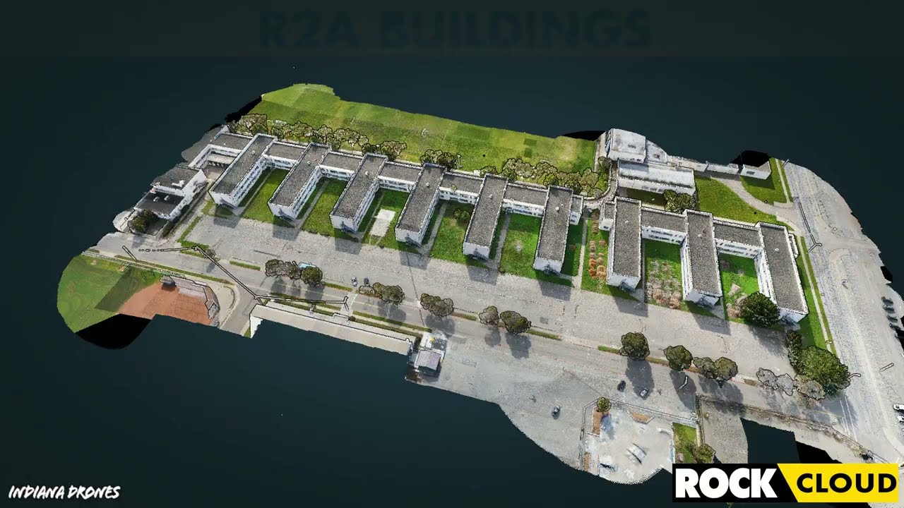
Featured Use Case: Surveying 750 Acres in Under 12 Hours with ROCK R2A LiDAR


IRS Section 179 Changes Coming: Why You Should Invest in LiDAR Equipment by the End of 2022


How-To Improve DJI Zenmuse L1 Accuracy w/ Strip Alignment in ROCK Cloud LiDAR Processing Software


Get 1.65 cm Accuracy Results with the ROCK R2A Drone LiDAR & ROCK Cloud 3D Data Processing Software


Capturing Aerial Drone LiDAR & Photogrammetry in a Single Flight (Earthworks Demo)


Improving Accuracy of DJI Zenmuse L1 with ROCK Cloud 3D LiDAR Data Processing Software
Turn your LiDAR data into stunning animations using the ROCK Cloud.
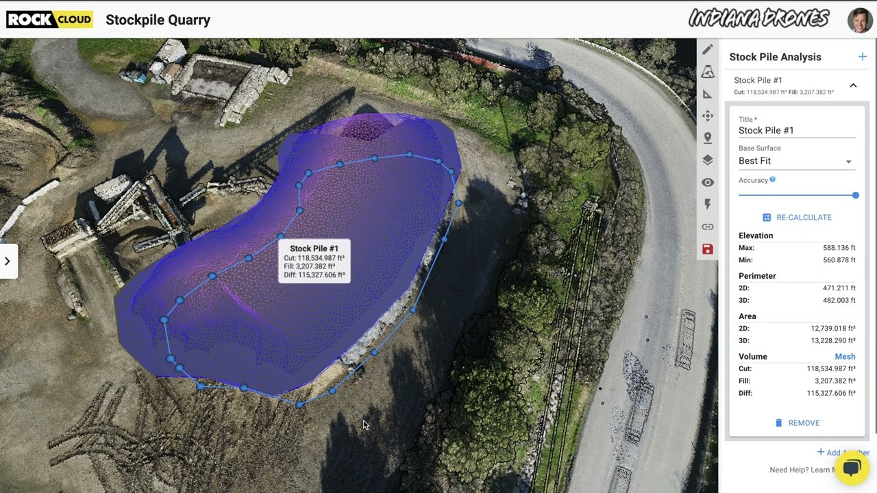
Easily calculate Volumetrics with the ROCK Cloud Stockpile Tool.


Four Crews? Four Weeks? Forget that! ROCK can help get the job done in one day.